

Ametz - Ruins of the Ida Amélie mine tile
No reviews yet
Have you flown here? Share your experience with other pilots.
+ Write the first reviewDescription
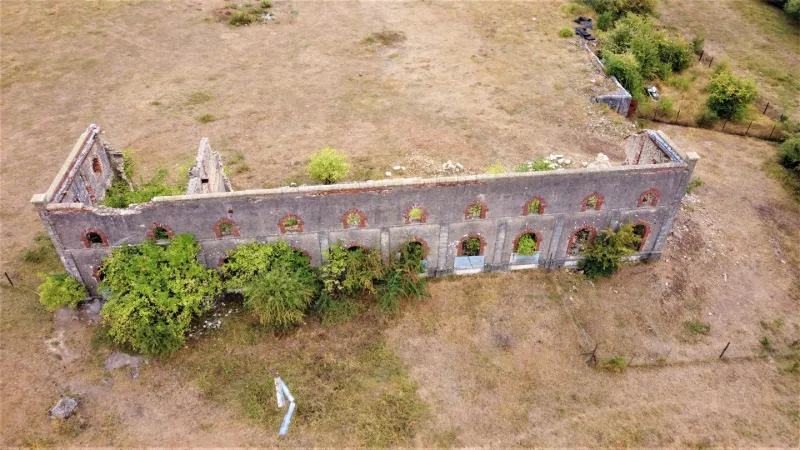
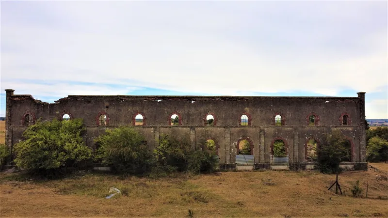
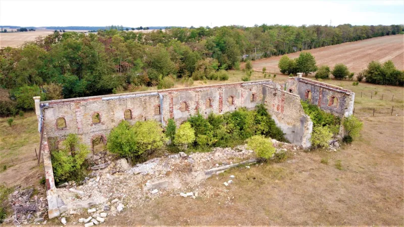
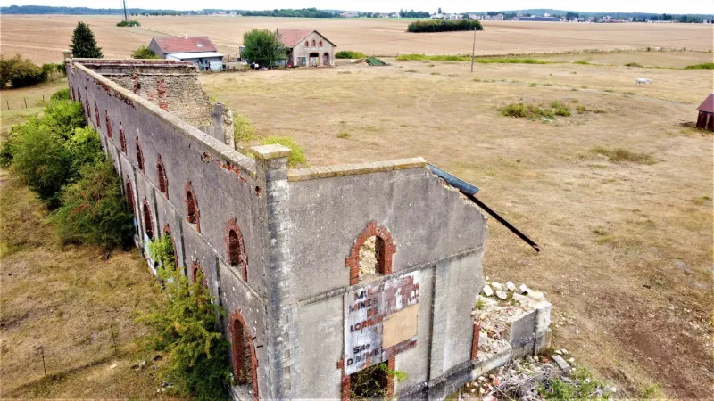
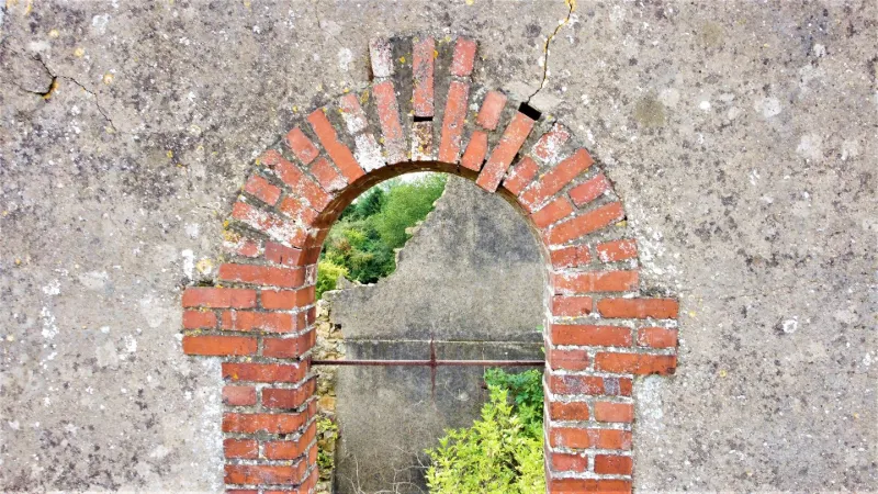
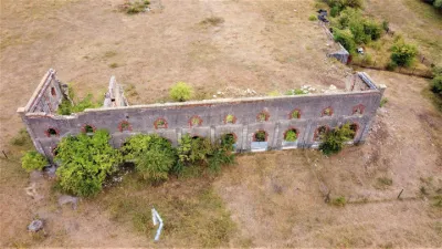
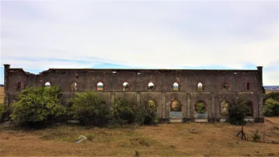
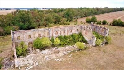
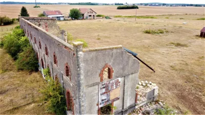
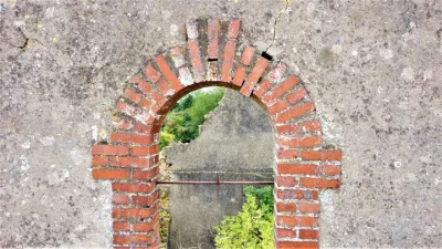
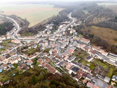
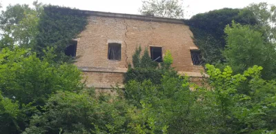
Here you can discover the ruins of one of the remaining buildings of the former Ida Amélie mine tile. Certainly built during the period of German annexation at the turn of the 1900s, there remains today an executive building, the houses of the Ida city, the foundations of the shaft and this spectacular ruin of what was to be the workshop building. It is now used as a quarry. Its walls are gradually cracking and collapsing. Bricks, ashlars and rubble are gradually disappearing, finishing the erasure of the site.
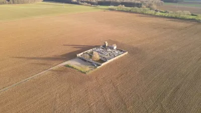
The take-off site is on the edge of fields between hedges at about 30 meters. Altitude limited to 50 m. No interference noted on the day of the flight, despite a relay antenna located a few hundred meters away. Very windy area, relatively protected at ground level by a high coppice located to the west, but generating quite a lot of turbulence beyond 8-10 m. Also be careful of turbulence generated by the effects of the facade and window openings of the ruin. Take care not to fly over nearby farm buildings, even if they are uninhabited, they remain in use, and of course avoid flying over the highway.
Have a good flight!
Map and restricted areas
Open in the main mapNearby aerodromes
Open aerodromes within 25 km of the spot, heliports included, with their distance and direction from the spot. Near an aerodrome, drone flying is prohibited or height-limited: check the UAS zones map.
| Aerodrome | Type | Distance | Elevation | Difference |
|---|---|---|---|---|
| Villerupt Aerodrome | Aerodrome | 3.6 km W | 396 m | spot 18 m lower |
| Centre Hospitalier Emile Mayrisch Heliport | Heliport | 11 km N | 296 m | spot 82 m higher |
| Etablissement Public Heliport | Heliport | 18 km NW | 267 m | spot 112 m higher |
Aviation weather (METAR and TAF)
ELLX – Luxembourg-Findel International Airport VFR
METAR
METAR ELLX 210620Z 00000KT CAVOK 00/M00 Q1018 NOSIG
- Wind
- Calm
- Visibility
- 10 km or more
- Clouds
- –
- Temperature
- 0 °C, dew point 0 °C
- QNH
- 1018 hPa
- Flight category
- VFR: ceiling > 3,000 ft and visibility > 5 mi
TAF
TAF ELLX 210500Z 2106/2212 20005KT 9999 FEW045
| Period (local time) | Change | Wind | Visibility | Weather | Clouds |
|---|---|---|---|---|---|
| 21/11 07:00 → 22/11 13:00 | Initial conditions | 200°, 9 km/h | 10 km or more | Few (1-2/8) at 4,500 ft (1370 m) |
Weather and Kp index
Sunrise and sunset
| Day | Dawn | Sunrise | Golden hour | Sunset | Dusk | Day length |
|---|---|---|---|---|---|---|
| Sat 21 Nov | 07:21 | 07:56 | 07:56–08:48 · 15:56–16:48 | 16:48 | 17:23 | 8 h 51 |
| Sun 22 Nov | 07:22 | 07:58 | 07:58–08:50 · 15:55–16:47 | 16:47 | 17:23 | 8 h 49 |
| Mon 23 Nov | 07:24 | 07:59 | 07:59–08:52 · 15:54–16:46 | 16:46 | 17:22 | 8 h 46 |
| Tue 24 Nov | 07:25 | 08:01 | 08:01–08:53 · 15:53–16:45 | 16:45 | 17:21 | 8 h 44 |
| Wed 25 Nov | 07:26 | 08:02 | 08:02–08:55 · 15:51–16:44 | 16:44 | 17:20 | 8 h 42 |
| Thu 26 Nov | 07:28 | 08:04 | 08:04–08:57 · 15:50–16:43 | 16:43 | 17:20 | 8 h 39 |
| Fri 27 Nov | 07:29 | 08:05 | 08:05–08:58 · 15:49–16:43 | 16:43 | 17:19 | 8 h 37 |

Reviews
Log in to review this spot. Log in · Create a free account
No reviews yet. Share yours!