

Château and Garden of La Roche-Guyon
No reviews yet
Have you flown here? Share your experience with other pilots.
+ Write the first reviewDescription
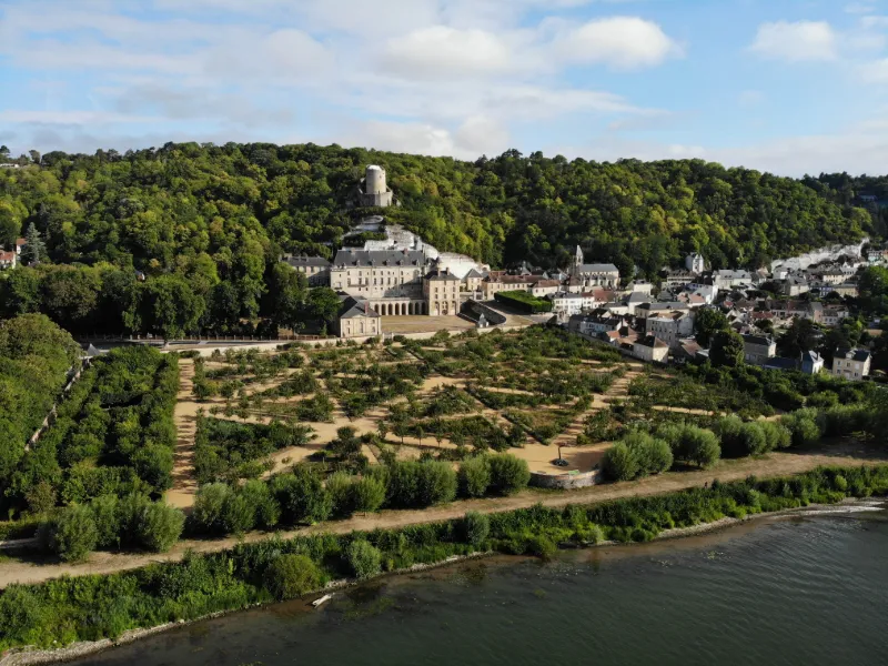
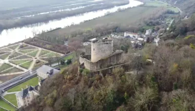
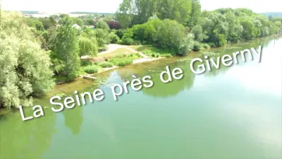
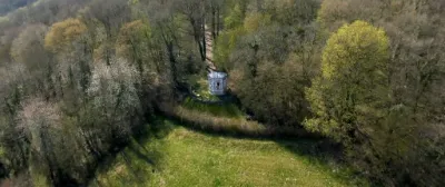
The Château de La Roche-Guyon is a French castle in the commune of La Roche-Guyon in the Val-d'Oise, at the gateway to Normandy on the right bank of the Seine. The former ruined fortress, dominated by its keep at the top of the hillside, received major additions in the 18th century at the foot of the hillside, along with a "French-style" garden and vegetable garden: the vegetable garden of the Château de la Roche-Guyon.
This castle, classified as a historic monument and owned by the House of La Rochefoucauld, is now managed by a public establishment for cultural cooperation (EPCC) bringing together the Val-d'Oise department, the commune of La Roche-Guyon, the joint association for the development and management of the Vexin français regional natural park, and the State.
Enlarged and embellished many times, notably during major works in the 18th century undertaken by its current owners, the La Rochefoucauld family, the former stronghold gradually became a place of splendor. Since 2010, the exhibition "On emménage au château" has turned the site into a temporary museum, revealing contemporary works around the corner of a gallery or on a rampart, such as the columns installed by Daniel Buren.
Map and restricted areas
Open in the main mapNearby aerodromes
Open aerodromes within 25 km of the spot, heliports included, with their distance and direction from the spot. Near an aerodrome, drone flying is prohibited or height-limited: check the UAS zones map.
| Aerodrome | Type | Distance | Elevation | Difference |
|---|---|---|---|---|
| Mantes Chérence Airfield | Aerodrome | 4.3 km E | 156 m | spot 143 m lower |
| Centre Hospitalier F. Quesnay Heliport | Heliport | 9.4 km S | 28 m | spot 15 m lower |
| Base Paramoteurs d' Avernes | Aerodrome | 18 km E | 139 m | spot 126 m lower |
| Flins Heliport | Heliport | 20 km SE | 25 m | spot 12 m lower |
| Base ULM Les Noyers | Aerodrome | 20 km N | 100 m | spot 87 m lower |
Aviation weather (METAR and TAF)
LFPT – Aérodrome de Pontoise - Cormeilles en Vexin VFR
METAR
METAR LFPT 211130Z AUTO 14006KT 9999 FEW010 SCT016 BKN054 11/09 Q1018
- Wind
- 140°, 11 km/h
- Visibility
- 10 km or more
- Clouds
- Few (1-2/8) at 1,000 ft (300 m) ; Scattered (3-4/8) at 1,600 ft (490 m) ; Broken (5-7/8) at 5,400 ft (1650 m)
- Temperature
- 11 °C, dew point 9 °C
- QNH
- 1018 hPa
- Flight category
- VFR: ceiling > 3,000 ft and visibility > 5 mi
TAF
Weather and Kp index
Sunrise and sunset
| Day | Dawn | Sunrise | Golden hour | Sunset | Dusk | Day length |
|---|---|---|---|---|---|---|
| Sat 21 Nov | 07:37 | 08:12 | 08:12–09:04 · 16:15–17:06 | 17:06 | 17:42 | 8 h 53 |
| Sun 22 Nov | 07:38 | 08:14 | 08:14–09:05 · 16:14–17:05 | 17:05 | 17:41 | 8 h 51 |
| Mon 23 Nov | 07:40 | 08:15 | 08:15–09:07 · 16:13–17:04 | 17:04 | 17:40 | 8 h 49 |
| Tue 24 Nov | 07:41 | 08:17 | 08:17–09:09 · 16:11–17:04 | 17:04 | 17:39 | 8 h 46 |
| Wed 25 Nov | 07:43 | 08:18 | 08:18–09:10 · 16:10–17:03 | 17:03 | 17:38 | 8 h 44 |
| Thu 26 Nov | 07:44 | 08:20 | 08:20–09:12 · 16:09–17:02 | 17:02 | 17:38 | 8 h 42 |
| Fri 27 Nov | 07:45 | 08:21 | 08:21–09:14 · 16:08–17:01 | 17:01 | 17:37 | 8 h 40 |
Reviews
Log in to review this spot. Log in · Create a free account
No reviews yet. Share yours!