Skip to content
Mountain

The gibloux
Switzerland

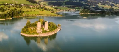
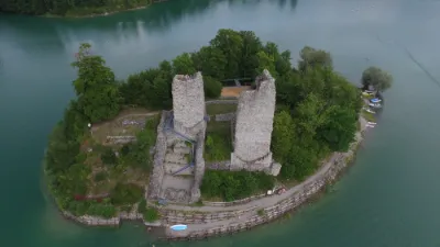
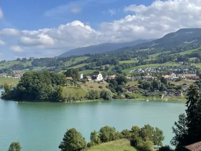
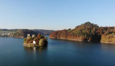
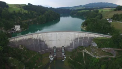
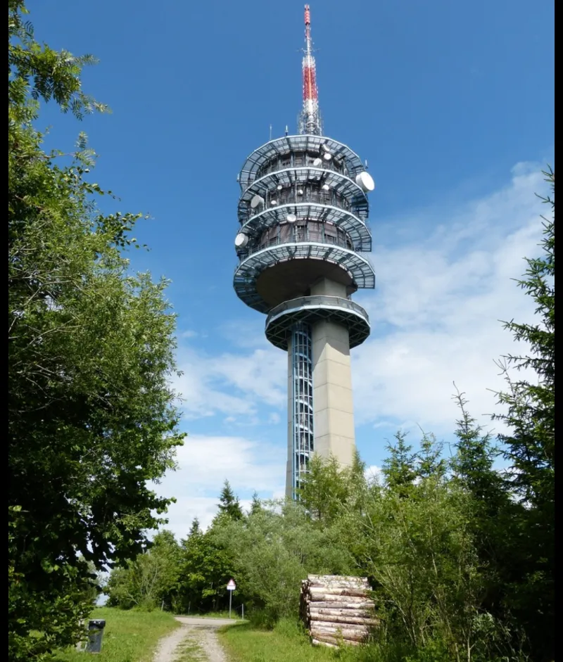
The gibloux – photo 1

No reviews yet

Have you flown here? Share your experience with other pilots.

+ Write the first review

Description

Very nice spot! In the nature. Be careful because the spot is in the forest.

Aviation weather (METAR and TAF)

LSMP – Payerne Air Base · 20 km NW ?

METAR

Observed 22/11 19:50 · 35 min ago

METAR LSMP 221850Z AUTO 25007KT 9999NDV RA SCT030 BKN036 OVC041 08/06 Q1010 RMK

Wind
250°, 13 km/h
Visibility
–
Weather
Rain
Clouds
Scattered (3-4/8) at 3,000 ft (910 m) ; Broken (5-7/8) at 3,600 ft (1100 m) ; Overcast (8/8) at 4,100 ft (1250 m)
Temperature
8 °C, dew point 6 °C
QNH
1010 hPa
Flight category
Unknown category

TAF

Issued 22/11 17:25 · valid from 22/11 18:00 to 24/11 00:00

TAF LSMP 221625Z 2217/2323 22010KT 8000 -RA FEW011 OVC035 TEMPO 2217/2312 RA BKN014

Period (local time) Change Wind Visibility Weather Clouds
22/11 18:00 → 24/11 00:00 Initial conditions 220°, 19 km/h 8 km Rain light Few (1-2/8) at 1,100 ft (340 m) ; Overcast (8/8) at 3,500 ft (1070 m)
22/11 18:00 → 23/11 13:00 Temporarily Rain Broken (5-7/8) at 1,400 ft (430 m)

Empty cell: no change forecast for that element.

METAR and TAF from NOAA (Aviation Weather Center), for guidance only: they do not replace flight planning with official sources (SIA, Météo-France). Nearest station that issues a METAR, not necessarily the nearest aerodrome.

Plan the light

Weather and Kp index

Loading forecast…

Sunrise and sunset

Local times at the spot (UTC+01:00). The golden hour, the warm, low light sought after for photos and videos, runs from sunrise until the sun reaches 6° above the horizon, and in the evening from 6° until sunset.

Day Dawn Sunrise Golden hour Sunset Dusk Day length
Sun 22 Nov07:11 07:44 07:44–08:32 · 16:04–16:52 16:52 17:259 h 07
Mon 23 Nov07:12 07:45 07:45–08:34 · 16:03–16:51 16:51 17:259 h 05
Tue 24 Nov07:13 07:47 07:47–08:35 · 16:02–16:50 16:50 17:249 h 03
Wed 25 Nov07:14 07:48 07:48–08:37 · 16:01–16:50 16:50 17:239 h 01
Thu 26 Nov07:16 07:49 07:49–08:38 · 16:00–16:49 16:49 17:238 h 59
Fri 27 Nov07:17 07:51 07:51–08:40 · 15:59–16:48 16:48 17:228 h 57
Sat 28 Nov07:18 07:52 07:52–08:41 · 15:59–16:48 16:48 17:228 h 55

Nearby on Wikipedia

  • Gibloux (montagne) · 0.0 km away

    Le Gibloux est une chaîne de collines des préalpes fribourgeoises, orienté du sud-ouest au nord-est et situé à la frontières des districts de la Glâne, de la Sarine et de Gruyère, dans le canton de Fribourg. Son nom en allemand, pratiquement plus utilisé de nos jours, est Gibel. (...)

  • Sorens · 2.2 km away

    Sorens (en Patois FribourgeoisDikchenéro dou patê gruvèrin è di j'alintoua : patê - franché = Dictionnaire du patois gruérien et des alentours : patois - français. Société des patoisants de la Gruyère, 1992. Fribourg : Fragnière)) est une commune suisse du canton de Fribourg, située dans le district (...)

  • Vuisternens-en-Ogoz · 2.8 km away

    Vuisternens-en-Ogoz est une localité et une ancienne commune suisse du canton de Fribourg, située dans le district de la Sarine. (...)

  • Molasse de Villarlod · 3.2 km away

    La Molasse de Villarlod ou carrière de Villarlod est une carrière d'exploitation de molasse (grès molassique) du canton de Fribourg, encore en exploitation en 2015. Le début de l'exploitation date des années 1880 ou à cette époque, on utilisait la force de l'eau pour scier la pierre. (...)

  • Pont-en-Ogoz · 3.5 km away

    Pont-en-Ogoz est une commune suisse du canton de Fribourg, située dans le district de la Gruyère. (...)

Articles found by GeoNames from the spot's position.

Nearby spots

Reviews

Log in to review this spot. Log in · Create a free account

No reviews yet. Share yours!

Connection to the site lost. Trying again…

The site is not responding. Trying again in seconds.

The site is no longer responding.

The site has been updated. Reloading the page…

This page has expired.

Resuming failed. Please reload the page.

The site is no longer responding.