

Creux du-Van Le Soliat Val-de-Travers
No reviews yet
Have you flown here? Share your experience with other pilots.
+ Write the first reviewDescription
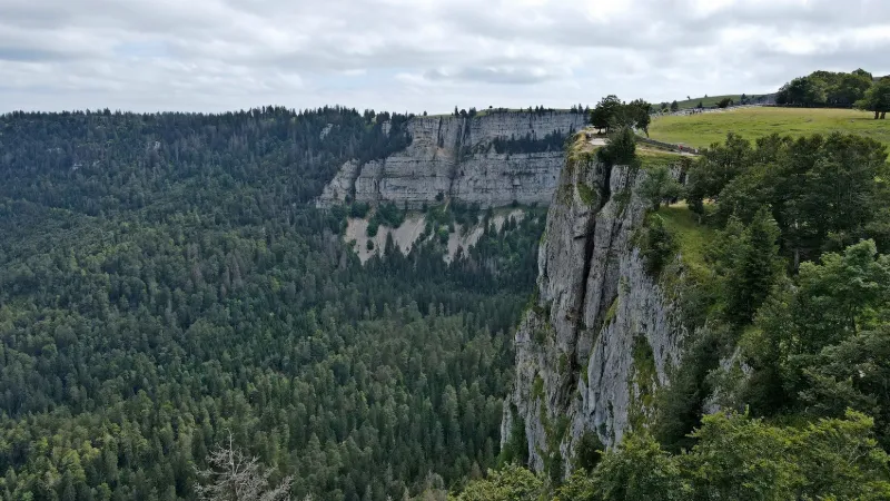
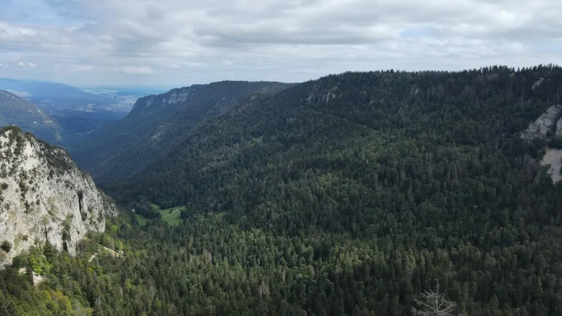
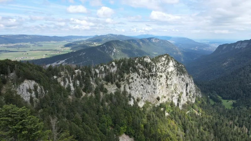
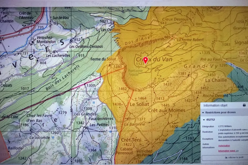
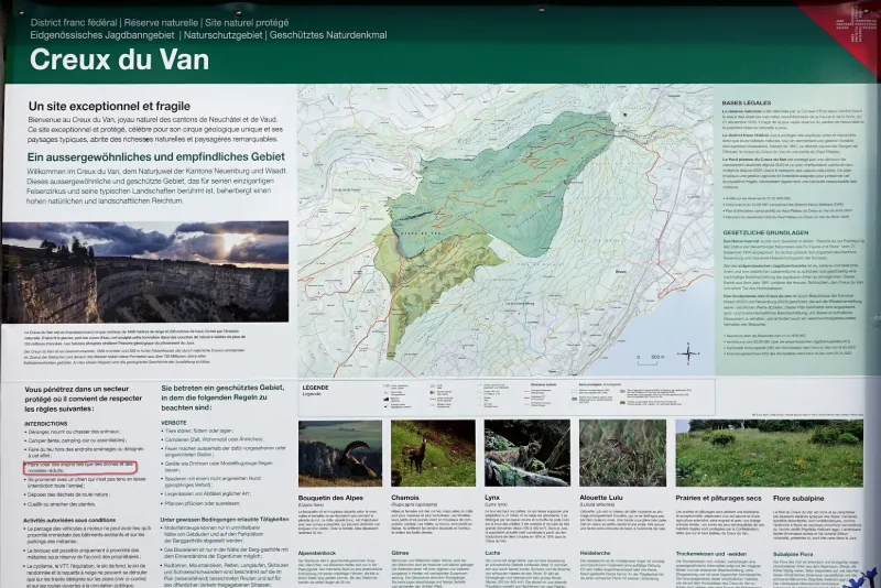
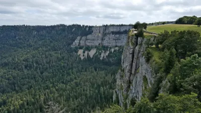
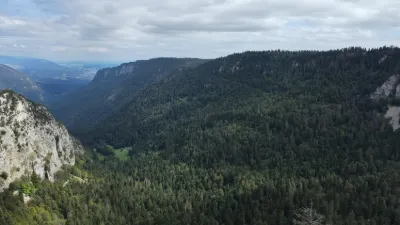
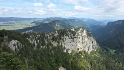
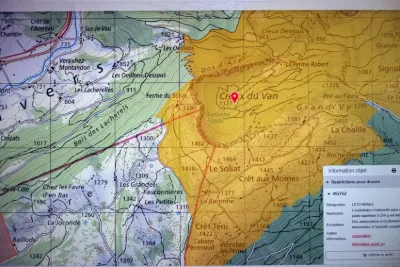
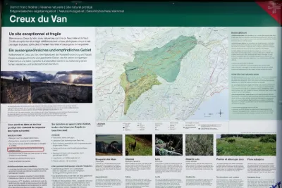
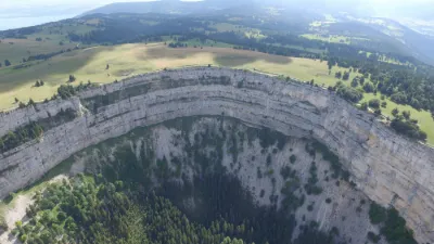
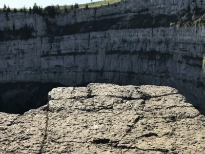
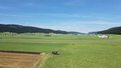
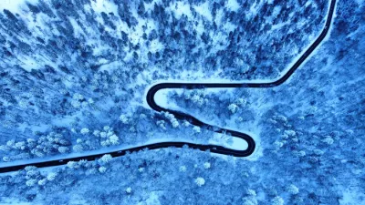
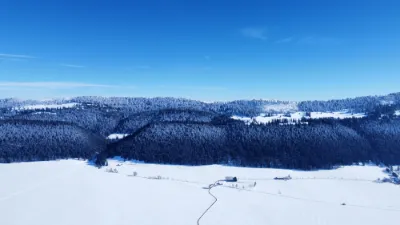
The cirque and its surroundings were classified as a "Nature Reserve" in 1870. Many animals typical of the Jura mountains, as well as the Alps, roam this protected area of about 15 km², including a colony of around twenty ibex reintroduced in the 1960s, lynx and the very rare capercaillie. → Please note that the Drone Spot map for this spot does not match the one issued by the Bundesamt für Zivilluftfahrt (Federal Office of Civil Aviation) https://www.bazl.admin.ch/bazl/fr/home/drohnen/general/drone-maps.html The entire Creux du Van area is off-limits to drones weighing more than 250 grams. However, the distinction between drones over and under 250 grams does not appear on the sign in front of the Ferme du Soliat at the entrance to the site! Personally, I relied on the "official" map but only made a very short flight to avoid any problems. Near NEUCHÂTEL
Map and restricted areas
Open in the main mapAviation weather (METAR and TAF)
LSGC – Les Eplatures Airport VFR
METAR
METAR LSGC 221920Z AUTO 00000KT 9999 -SN BKN/// 01/01 Q1009 RERASN
- Wind
- Calm
- Visibility
- 10 km or more
- Weather
- Snow light
- Clouds
- –
- Temperature
- 1 °C, dew point 1 °C
- QNH
- 1009 hPa
- Flight category
- VFR: ceiling > 3,000 ft and visibility > 5 mi
TAF
TAF LSGC 221425Z 2215/2224 25012KT 9999 RA FEW007 BKN010 BECMG 2220/2223 -RA
| Period (local time) | Change | Wind | Visibility | Weather | Clouds |
|---|---|---|---|---|---|
| 22/11 16:00 → 22/11 21:00 | Initial conditions | 250°, 22 km/h | 10 km or more | Rain | Few (1-2/8) at 700 ft (210 m) ; Broken (5-7/8) at 1,000 ft (300 m) |
| 22/11 21:00 → 23/11 01:00 | Becoming | 250°, 22 km/h | 10 km or more | Rain light | Few (1-2/8) at 700 ft (210 m) ; Broken (5-7/8) at 1,000 ft (300 m) |
Weather and Kp index
Sunrise and sunset
| Day | Dawn | Sunrise | Golden hour | Sunset | Dusk | Day length |
|---|---|---|---|---|---|---|
| Sun 22 Nov | 07:12 | 07:46 | 07:46–08:34 · 16:04–16:52 | 16:52 | 17:26 | 9 h 06 |
| Mon 23 Nov | 07:14 | 07:48 | 07:48–08:36 · 16:03–16:52 | 16:52 | 17:25 | 9 h 04 |
| Tue 24 Nov | 07:15 | 07:49 | 07:49–08:38 · 16:02–16:51 | 16:51 | 17:25 | 9 h 01 |
| Wed 25 Nov | 07:16 | 07:50 | 07:50–08:39 · 16:01–16:50 | 16:50 | 17:24 | 8 h 59 |
| Thu 26 Nov | 07:17 | 07:51 | 07:51–08:41 · 16:00–16:49 | 16:49 | 17:23 | 8 h 57 |
| Fri 27 Nov | 07:19 | 07:53 | 07:53–08:42 · 15:59–16:49 | 16:49 | 17:23 | 8 h 55 |
| Sat 28 Nov | 07:20 | 07:54 | 07:54–08:44 · 15:59–16:48 | 16:48 | 17:22 | 8 h 53 |

Reviews
Log in to review this spot. Log in · Create a free account
No reviews yet. Share yours!