Drone spots: Loire-Atlantique (44)
210 spots · most viewed first · page 3 of 5
| Photo | Map | Spot | Type | Max height | Access | Views |
|---|---|---|---|---|---|---|
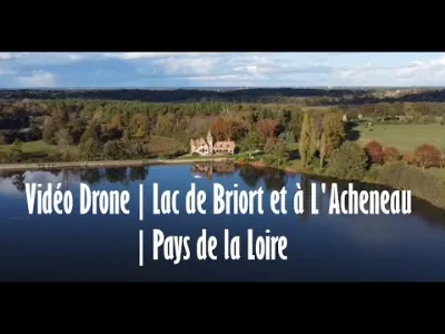
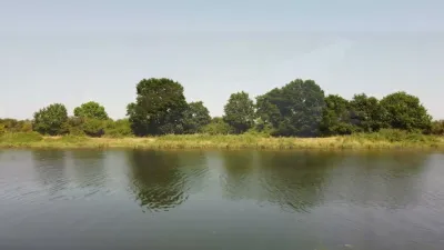
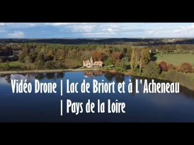
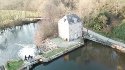
| Acheneau River | Water | 120 m max | Direct access by car | 97 | ||
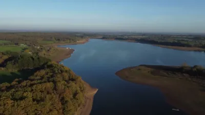
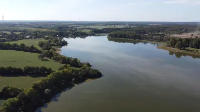
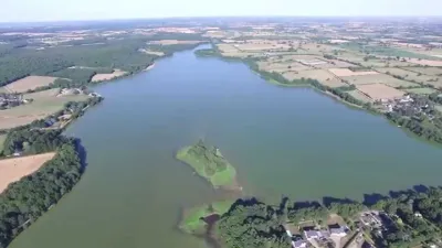
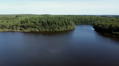
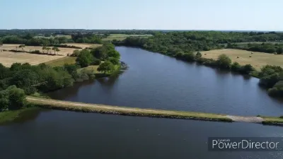
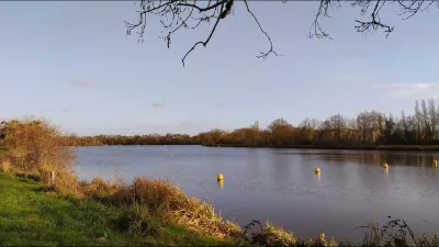
| Lake in the commune of Joué sur Erdre in Loire Atlantique | Water | 120 m max | On foot < 1,000 m | 96 | ||
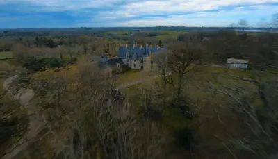
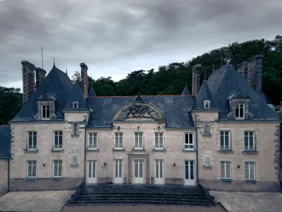
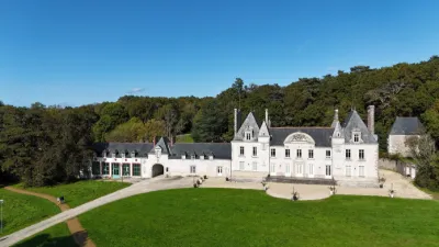
| Blain en Moire Atlantique | Heritage | 120 m max | On foot < 1,000 m | 95 | ||
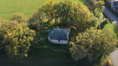
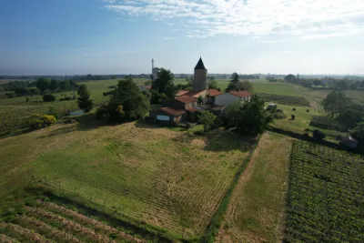
| Saint Roch Chapel in Blain, Loire Atlantique | Heritage | 120 m max | On foot < 1,000 m | 92 | ||
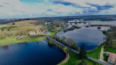
| Lac de Vioreau in the municipality of Joué sur Erdre, Loire Atlantique | Water | 120 m max | On foot < 1,000 m | 91 | ||
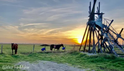
| SÉMAPHORE DE LA TAILLÉE | Water | 30 m max | Direct access by car | 88 | ||
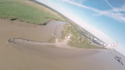
| Saint Emilien de Blain | FPV Racing | 120 m max | Direct access by car | 84 | ||
| Cordemais | FPV Racing | 120 m max | On foot < 1,000 m | 84 | ||
| La Bernerie en Retz | Water | 120 m max | Direct access by car | 84 | ||
| Beaumont Pond | Water | 120 m max | On foot < 1,000 m | 83 | ||
| Trégaté | Heritage | 120 m max | Direct access by car | 79 | ||
| Cordemais | Water | 120 m max | On foot < 1,000 m | 77 | ||
| Saint Michel Chef Chef | Water | 120 m max | On foot < 1,000 m | 77 | ||
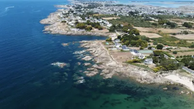
| Batz sur mer | Water | 120 m max | Direct access by car | 76 | ||
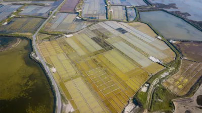
| Marais Salants de Guérande | Water | 120 m max | Direct access by car | 76 | ||
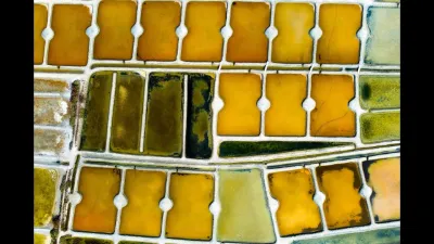
| Salt marsh | Water | 120 m max | Access not specified | 75 | ||
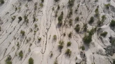
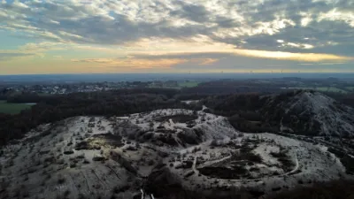
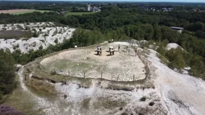
| Mines d'Abbaretz | Unusual | 120 m max | On foot < 1,000 m | 74 | ||
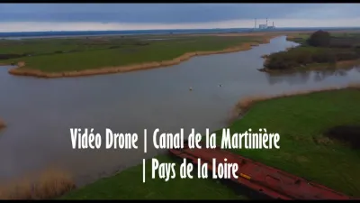
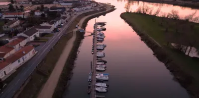
| Lock of the Canal de la Martinière | Water | 120 m max | Direct access by car | 74 | ||
| le Loroux-BOTTEREAU | Heritage | 120 m max | Direct access by car | 71 | ||
| Provostière Pond in Riaillé | Water | 120 m max | On foot < 1,000 m | 68 | ||
| In the municipality of Les Touches 44390 | Heritage | 120 m max | On foot < 1,000 m | 68 | ||
| Lock on the Martinière canal - Frossay | Water | 120 m max | Direct access by car | 68 | ||
| Abbaretz | Heritage | 120 m max | Direct access by car | 67 | ||
| Étang des Gâtineaux, Tharon | Water | 120 m max | Direct access by car | 63 | ||
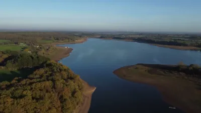
| Lac de Briort | Water | 50 m max | Direct access by car | 63 | ||
| Grand réservoir de Vioreau | Water | 120 m max | Direct access by car | 57 | ||
| Le pont de Louen | Heritage | 120 m max | Direct access by car | 56 | ||
| castle | FPV Racing | 120 m max | Direct access by car | 55 | ||
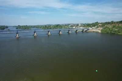
| The Loire on the Loire-Atlantique side | Heritage | 60 m max | On foot < 1,000 m | 52 | ||
| L'Observatoire | Unusual | 120 m max | Direct access by car | 49 | ||
| Porcé | Water | 120 m max | Direct access by car | 48 | ||
| La Meilleraye de Bretagne | Heritage | 120 m max | On foot < 1,000 m | 48 | ||
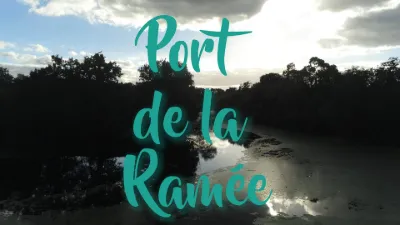
| Port de la Ramée | Water | 50 m max | On foot < 1,000 m | 46 | ||
| Mauves-sur-Loire | Heritage | 120 m max | Direct access by car | 46 | ||
| La Mine Abbaretz | Heritage | 120 m max | Direct access by car | 46 | ||
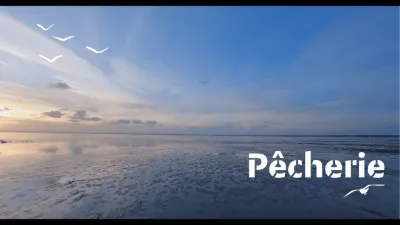
| Fishery - Villeneuve-en-Retz | Water | 120 m max | On foot < 1,000 m | 41 | ||
| Saint Herblain | Heritage | 50 m max | On foot < 1,000 m | 40 | ||
| Joué sur Erdre | Water | 120 m max | On foot < 1,000 m | 40 | ||
| Joué sur Erdre | Water | 120 m max | On foot < 1,000 m | 39 | ||
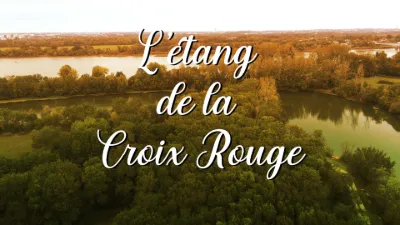
| L'étang de la Croix Rouge | Water | 120 m max | Direct access by car | 38 | ||
| Etang du Gros caillous | Water | 120 m max | On foot < 1,000 m | 38 | ||
| Château de la Gournerie | Heritage | 50 m max | On foot < 1,000 m | 35 | ||
| La Pierre Percée - Divatte sur Loire | Water | 120 m max | On foot < 1,000 m | 35 | ||
| The tin mine at Abbaretz | Water | 120 m max | On foot < 1,000 m | 35 | ||
| Moulin Guénouvry | Heritage | 120 m max | Direct access by car | 35 | ||
| Salt Marshes | Water | 120 m max | On foot < 1,000 m | 34 | ||
| The Bout de Bois pond in the municipalities of Eric and Saffré in Loire-Atlantique | Water | 120 m max | On foot < 1,000 m | 34 | ||
| Saint-Brevin-les-Pins | Water | 30 m max | On foot < 1,000 m | 33 |