

Le ¨Petit Bonheur - Bonneval-sur-Arc
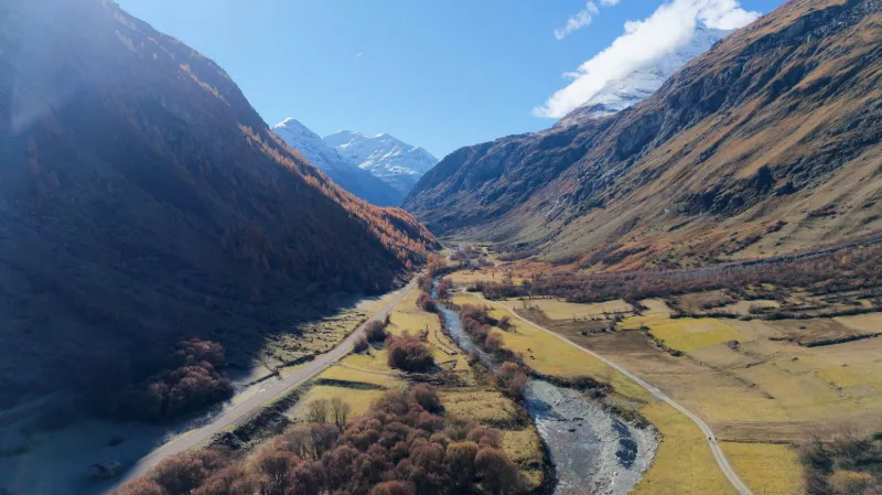
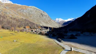
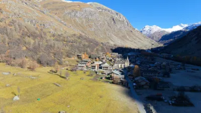
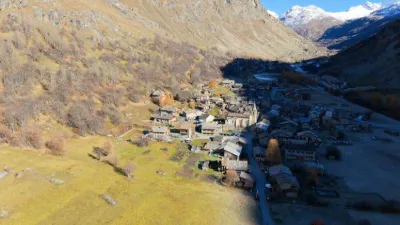
No reviews yet
Have you flown here? Share your experience with other pilots.
+ Write the first reviewDescription
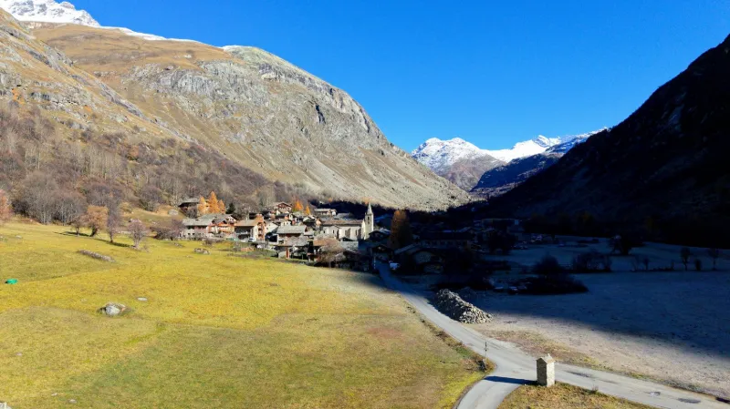
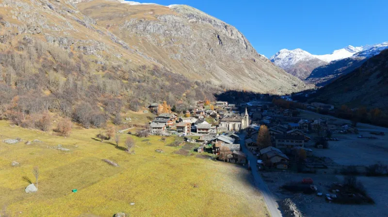
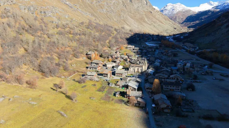
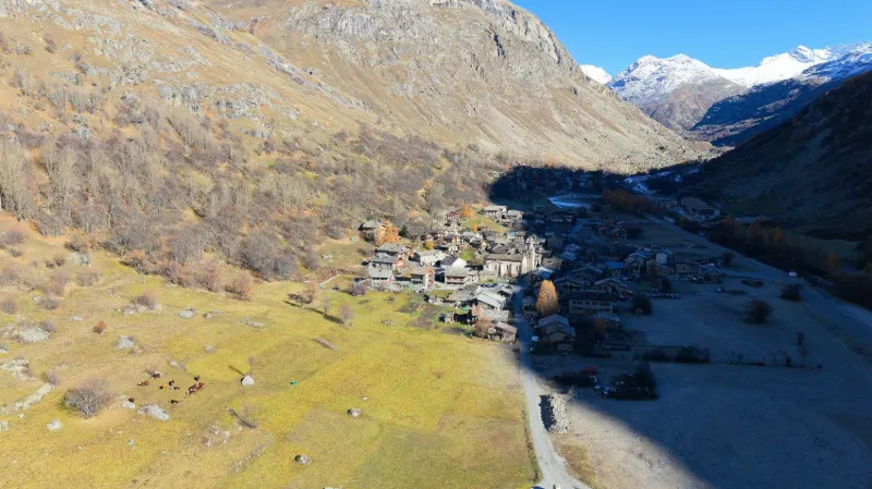
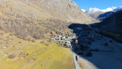
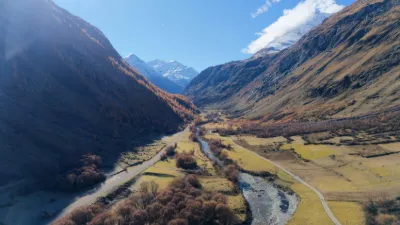
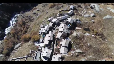
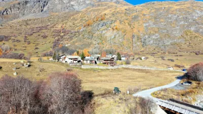
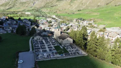
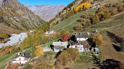
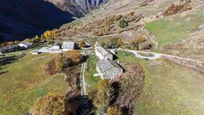
The old village of Bonneval is both the historic heart of the municipality and its tourist showcase. Visitors discover its old chalets with stone façades and golden larch shingle roofs, and larch trees, still russet, climbing toward the summits. Its residents live here day to day among the food shops (butcher-caterer, cheesemonger, baker), the Baroque church, the school, the tobacconist-newsagent, the village hall, the souvenir and craft shops, and the restaurants and bars. The village is listed among the Plus beaux villages de France. Near LANSLEBOURG-VAL-CENIS
Map and restricted areas
Open in the main mapNearby aerodromes
Open aerodromes within 25 km of the spot, heliports included, with their distance and direction from the spot. Near an aerodrome, drone flying is prohibited or height-limited: check the UAS zones map.
| Aerodrome | Type | Distance | Elevation | Difference |
|---|---|---|---|---|
| Tête De Solaise Heliport | Heliport | 7.9 km NW | 2,550 m | spot 753 m lower |
| La Daille Heliport | Heliport | 11 km NW | 1,802 m | spot 5 m lower |
| Altiport du Glacier De La Grande Motte | Aerodrome | 13 km NW | 2,915 m | spot 1,118 m lower |
| Altiport de la Tovière | Aerodrome | 13 km NW | 2,240 m | spot 443 m lower |
| Vers Le Col Du Palet Altiport | Aerodrome | 15 km NW | 2,440 m | spot 643 m lower |
Aviation weather (METAR and TAF)
LIMW – Aosta Airport MVFR
METAR
METAR LIMW 171150Z VRB01KT 5000 RA SCT015 OVC060 07/07 Q1007
- Wind
- Variable, 2 km/h
- Visibility
- 5 km
- Weather
- Rain
- Clouds
- Scattered (3-4/8) at 1,500 ft (460 m) ; Overcast (8/8) at 6,000 ft (1830 m)
- Temperature
- 7 °C, dew point 7 °C
- QNH
- 1007 hPa
- Flight category
- MVFR: ceiling 1,000–3,000 ft or visibility 3–5 mi
TAF
TAF LIMW 171100Z 1712/1721 VRB06KT 9999 SCT015 BKN060 TEMPO 1712/1718 4000 RA
| Period (local time) | Change | Wind | Visibility | Weather | Clouds |
|---|---|---|---|---|---|
| 17/11 13:00 → 17/11 22:00 | Initial conditions | Variable, 11 km/h | 10 km or more | Scattered (3-4/8) at 1,500 ft (460 m) ; Broken (5-7/8) at 6,000 ft (1830 m) | |
| 17/11 13:00 → 17/11 19:00 | Temporarily | 4.0 km | Rain |
Weather and Kp index
Sunrise and sunset
| Day | Dawn | Sunrise | Golden hour | Sunset | Dusk | Day length |
|---|---|---|---|---|---|---|
| Tue 17 Nov | 07:01 | 07:33 | 07:33–08:19 · 16:15–17:00 | 17:00 | 17:32 | 9 h 27 |
| Wed 18 Nov | 07:02 | 07:35 | 07:35–08:20 · 16:14–16:59 | 16:59 | 17:32 | 9 h 24 |
| Thu 19 Nov | 07:04 | 07:36 | 07:36–08:22 · 16:13–16:59 | 16:59 | 17:31 | 9 h 22 |
| Fri 20 Nov | 07:05 | 07:37 | 07:37–08:23 · 16:12–16:58 | 16:58 | 17:30 | 9 h 20 |
| Sat 21 Nov | 07:06 | 07:39 | 07:39–08:25 · 16:11–16:57 | 16:57 | 17:29 | 9 h 18 |
| Sun 22 Nov | 07:07 | 07:40 | 07:40–08:26 · 16:10–16:56 | 16:56 | 17:29 | 9 h 16 |
| Mon 23 Nov | 07:09 | 07:41 | 07:41–08:28 · 16:09–16:55 | 16:55 | 17:28 | 9 h 14 |

Reviews
Log in to review this spot. Log in · Create a free account
No reviews yet. Share yours!