Drone spots: Haute-Savoie (74)
293 spots · most viewed first · page 4 of 7
| Photo | Map | Spot | Type | Max height | Access | Views |
|---|---|---|---|---|---|---|
| Saint-Gervais-les-Bains | Mountain | 120 m max | On foot < 1,000 m | 142 | ||
| Cirque du Fer à Cheval - Plan des Lacs | Mountain | 120 m max | On foot < 1,000 m | 141 | ||
| Lac Vert | Water | 120 m max | Direct access by car | 141 | ||
| Plan des Mouilles - Glières Plateau | Mountain | 120 m max | On foot > 1,000 m | 136 | ||
| Le Salève | Mountain | 120 m max | On foot < 1,000 m | 136 | ||
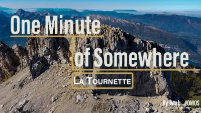
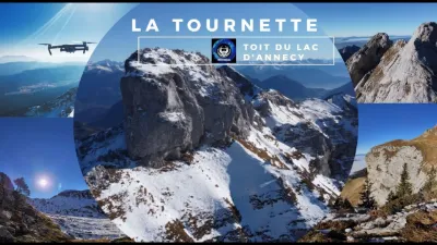
| La Tournette - Annecy | Mountain | 120 m max | On foot < 1,000 m | 129 | ||
| Crêt de l'Aigle - Semnoz (HAUTE SAVOIE) | Mountain | 120 m max | On foot < 1,000 m | 129 | ||
| Les Cornettes de Bises | Mountain | 120 m max | Direct access by car | 128 | ||
| La Tournette | Water | 120 m max | On foot < 1,000 m | 123 | ||
| Plan du Loup - Glières Plateau | Mountain | 120 m max | On foot > 1,000 m | 121 | ||
| ALBENS - ENTRELACS | Water | 120 m max | On foot < 1,000 m | 118 | ||
| Menthon-Saint-Bernard | Water | 120 m max | On foot < 1,000 m | 115 | ||
| Refuge de Varan | Mountain | 120 m max | On foot < 1,000 m | 115 | ||
| Lac du Mariet - Montagny (SAVOIE) | Mountain | 120 m max | On foot > 1,000 m | 109 | ||
| Lac des Plagnes | Water | 120 m max | Direct access by car | 108 | ||
| Below the Pointe de l'Ovine - Glières Plateau | Mountain | 120 m max | On foot > 1,000 m | 107 | ||
| Bonneville, near Arenthon | Water | 120 m max | On foot < 1,000 m | 107 | ||
| Lac des Plagnes | Mountain | 120 m max | Direct access by car | 107 | ||
| Menthon Saint Bernard | Water | 120 m max | Direct access by car | 104 | ||
| Plan des Mouilles - Les Mouilles | Mountain | 120 m max | On foot > 1,000 m | 101 | ||
| Lac d'Arvouin | Mountain | 120 m max | Direct access by car | 94 | ||
| The Salève | Mountain | 60 m max | On foot < 1,000 m | 92 | ||
| The Glières Plateau | FPV Racing | 120 m max | On foot < 1,000 m | 92 | ||
| Col de la Colombière | Mountain | 120 m max | On foot < 1,000 m | 91 | ||
| Monnetier-Mornex | Mountain | 60 m max | On foot < 1,000 m | 89 | ||
| Glières Plateau | Mountain | 120 m max | On foot < 1,000 m | 87 | ||
| Pointe d'Orsière - Le Bouchet-Mont-Charvin | Mountain | 120 m max | On foot > 1,000 m | 86 | ||
| La Pierre Fendue | Mountain | 120 m max | On foot < 1,000 m | 86 | ||
| Les Confins | Mountain | 120 m max | On foot < 1,000 m | 85 | ||
| Le Petit Sulens - Les Clefs | Mountain | 120 m max | On foot > 1,000 m | 83 | ||
| Châteaux des Allinges, Haute-Savoie | Heritage | 120 m max | On foot < 1,000 m | 83 | ||
| Col de Joux Plane | Mountain | 120 m max | Direct access by car | 83 | ||
| Yvoire (HAUTE SAVOIE) | Heritage | 120 m max | On foot < 1,000 m | 82 | ||
| Sous le Freu - Le Bouchet-Mont-Charvin | Mountain | 120 m max | On foot > 1,000 m | 80 | ||
| Chalet Nordique du Semnoz (Annecy) | Mountain | 120 m max | Direct access by car | 78 | ||
| The Saint-Jacques Towers | Mountain | 120 m max | On foot < 1,000 m | 75 | ||
| Cascade du rouget | Water | 120 m max | On foot > 1,000 m | 75 | ||
| Le Bouchet - Mont Charvin | Mountain | 120 m max | Direct access by car | 73 | ||
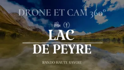
| Lac de Peyre | Mountain | 120 m max | On foot < 1,000 m | 72 | ||
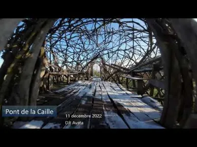
| Pont de la caille | Heritage | 50 m max | Direct access by car | 68 | ||
| Plateau des Glières, La Balme-de-Thuy | Mountain | 120 m max | On foot < 1,000 m | 67 | ||
| Mont de Musièges | Mountain | 120 m max | Direct access by car | 64 | ||
| Waterfall in the middle of nowhere | Unusual | 120 m max | Direct access by car | 63 | ||
| Chalets de Bise | Water | 120 m max | On foot < 1,000 m | 63 | ||
| Le Crêt de Châtillon - Le Semnoz | Mountain | 120 m max | Direct access by car | 61 | ||
| Vigny (practice spot) | Unusual | 120 m max | Direct access by car | 61 | ||
| Mont Forchaz | Mountain | 120 m max | On foot > 1,000 m | 59 | ||
| Chalet de Balme | Mountain | 120 m max | On foot < 1,000 m | 58 |