Drone spots: Seine-Maritime (76)
155 spots · most viewed first · page 2 of 4
| Photo | Map | Spot | Type | Max height | Access | Views |
|---|---|---|---|---|---|---|
| Sotteville-Sur-Mer | Water | 120 m max | On foot < 1,000 m | 328 | ||
| Beach of Saint-Aubin-sur-Mer | Water | 120 m max | On foot < 1,000 m | 310 | ||
| Senneville sur Fecamp | Water | 120 m max | On foot < 1,000 m | 310 | ||
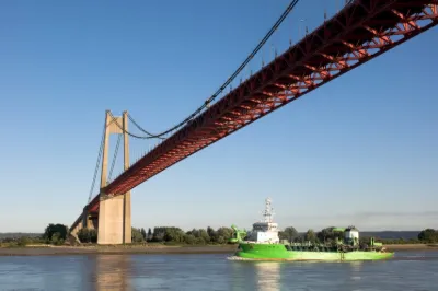
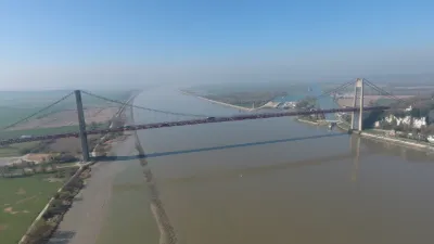
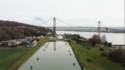
| Tancarville bridge and upstream bridge | Water | 120 m max | Direct access by car | 309 | ||
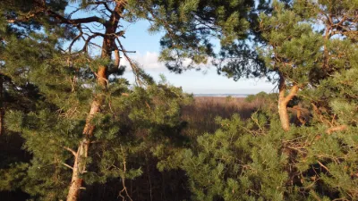
| Forêt du Rouvray | Unusual | 50 m max | On foot > 1,000 m | 303 | ||
| Sainte Marguerite sur Met | Heritage | 30 m max | On foot < 1,000 m | 296 | ||
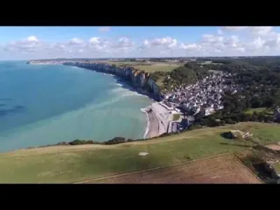
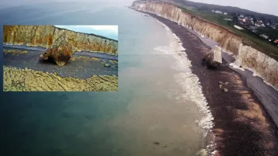
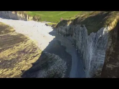
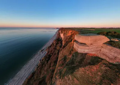
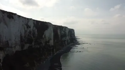
| Flight over the cliffs between Yport and Vaucottes | Water | 120 m max | On foot < 1,000 m | 291 | ||
| Tancarville | Water | 120 m max | Direct access by car | 279 | ||
| Tancarville Bridge | Water | 120 m max | Direct access by car | 275 | ||
| Yport Cliffs. | Water | 120 m max | On foot < 1,000 m | 261 | ||
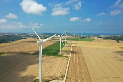
| Criel sur mer wind farm | Unusual | 120 m max | Direct access by car | 244 | ||
| Sainte Marguerite sur mer | Unusual | 30 m max | Direct access by car | 241 | ||
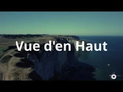
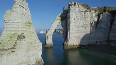
| Etretat | Heritage | 120 m max | On foot < 1,000 m | 235 | ||
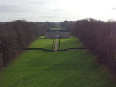
| Château de Bosmelet | Heritage | 120 m max | On foot < 1,000 m | 234 | ||
| Moulineaux | Heritage | 120 m max | On foot < 1,000 m | 230 | ||
| Vaucottes Beach | Water | 120 m max | On foot < 1,000 m | 227 | ||
| The cliffs and the Vaucotte valley in a drone. (Phantom 3) | Water | 120 m max | Direct access by car | 224 | ||
| Sahur | Water | 120 m max | On foot < 1,000 m | 202 | ||
| Antifer Lighthouse | Water | 120 m max | On foot > 1,000 m | 201 | ||
| Fécamp Cliff | Unusual | 60 m max | On foot < 1,000 m | 199 | ||
| Antifer Lighthouse | Water | 120 m max | On foot < 1,000 m | 198 | ||
| Saint-Maurice-d'Ételan | Heritage | 120 m max | On foot < 1,000 m | 195 | ||
| Saint Valery en Caux | Water | 120 m max | On foot < 1,000 m | 189 | ||
| Freles | Unusual | 120 m max | Direct access by car | 172 | ||
| Tancarville | Heritage | 120 m max | Direct access by car | 171 | ||
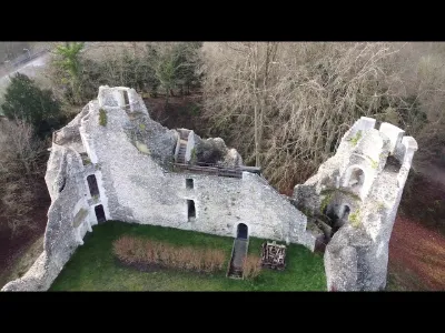
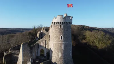
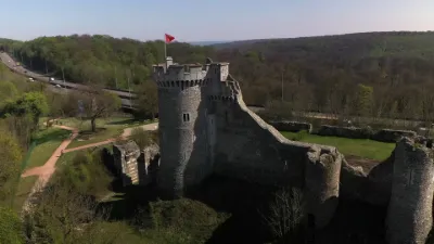
| Château Robert le Diable | Heritage | 120 m max | On foot < 1,000 m | 171 | ||
| Veules Les Roses | Water | 120 m max | On foot < 1,000 m | 163 | ||
| Heuqueville | Heritage | 60 m max | On foot < 1,000 m | 150 | ||
| Valleuse d'Antifer | Water | 120 m max | On foot < 1,000 m | 147 | ||
| Etretat | Water | 120 m max | On foot < 1,000 m | 140 | ||
| Château de Robert le diable | Heritage | 120 m max | Direct access by car | 138 | ||
| Phare d'Antifer | Water | 120 m max | On foot < 1,000 m | 136 | ||
| Étretat Cliffs | Water | 120 m max | On foot < 1,000 m | 113 | ||
| Forêt de Montgeon | Unusual | 60 m max | Direct access by car | 108 | ||
| Le Tréport | Water | 50 m max | On foot < 1,000 m | 108 | ||
| Etretat Cliffs | Water | 120 m max | On foot < 1,000 m | 106 | ||
| The beach at Mers les bains | Water | 50 m max | Direct access by car | 106 | ||
| Étretat, Aval cliffs | Water | 120 m max | On foot < 1,000 m | 101 | ||
| Melleville wind turbines | Unusual | 120 m max | Direct access by car | 101 | ||
| Clos de bellevue st hellier | Aerial Photogrammetry | 120 m max | Direct access by car | 100 | ||
| The cliffs of Le Tréport in Normandy | Water | 50 m max | On foot < 1,000 m | 98 | ||
| Etretat | Water | 120 m max | On foot < 1,000 m | 93 | ||
| Château Robert Le Diable | Heritage | 120 m max | Direct access by car | 87 | ||
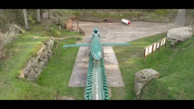
| Val Ygot V1 site | Heritage | 120 m max | Direct access by car | 78 | ||
| Étretat | Water | 120 m max | On foot < 1,000 m | 72 | ||
| Etretat | Water | 120 m max | Direct access by car | 70 | ||
| Tancarville Bridge | Water | 120 m max | On foot < 1,000 m | 67 | ||
| Tocqueville les murs | Unusual | 120 m max | Direct access by car | 66 |