Drone spots: La Réunion (974)
111 spots · most viewed first · page 3 of 3
| Photo | Map | Spot | Type | Max height | Access | Views |
|---|---|---|---|---|---|---|
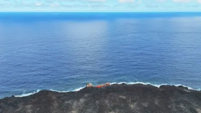
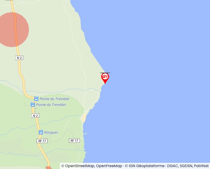
| Saint Philippe | Water | 120 m max | On foot < 1,000 m | 7 | ||
| Langevin River | Water | 120 m max | Direct access by car | 6 | ||
| cilaos | Mountain | 30 m max | Direct access by car | 6 | ||
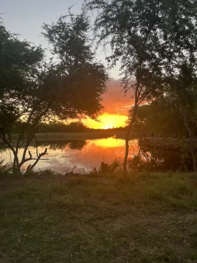
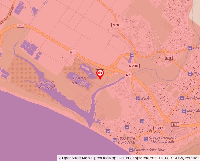
| Etang de Gol | Water | 120 m max | Access not specified | 6 | ||
| Saint Philippe | Water | 120 m max | On foot > 1,000 m | 5 | ||
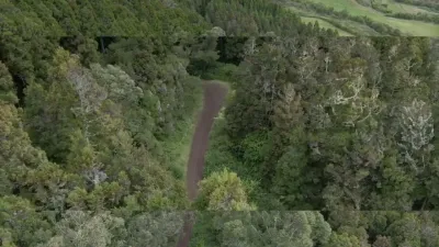
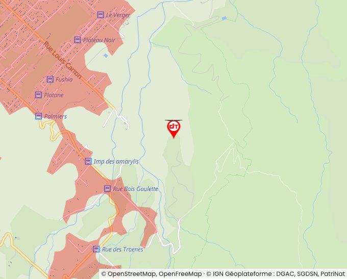
| La Plaine des Palmistes | Mountain | 50 m max | Direct access by car | 5 | ||
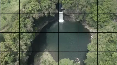
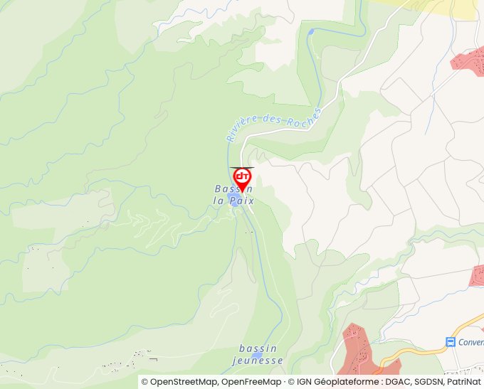
| Bassin la paix | Water | 120 m max | Direct access by car | 4 | ||
| La Plaine des Palmistes | Mountain | 120 m max | Direct access by car | 4 | ||
| Cap jaune | Mountain | 120 m max | On foot > 1,000 m | 3 | ||
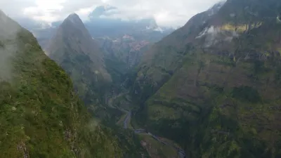
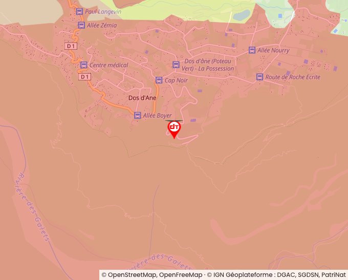
| Dos d'âne | Mountain | 120 m max | Direct access by car | 3 | ||
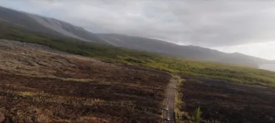
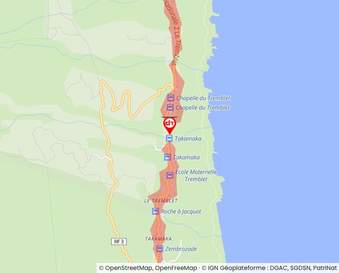
| Lava Road | Unusual | 120 m max | On foot < 1,000 m | 3 | ||
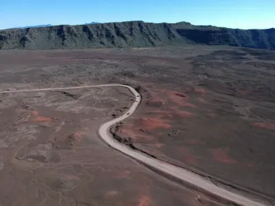
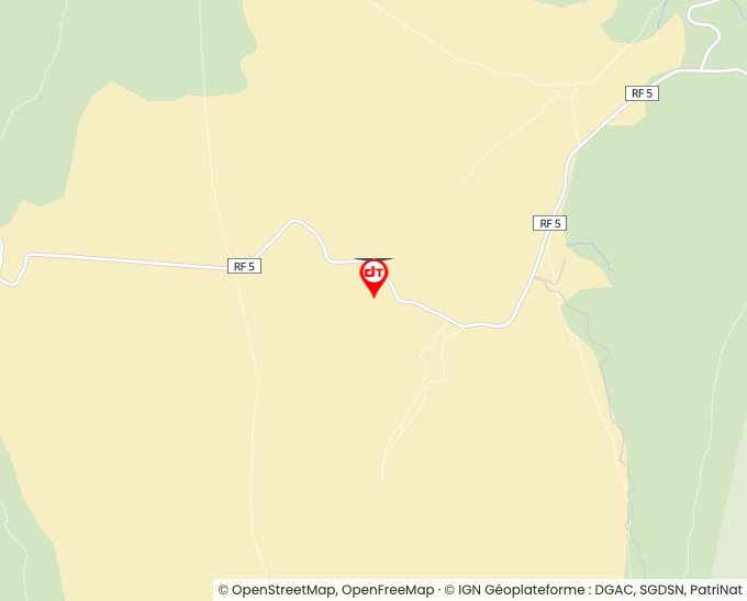
| Plaine des sables | Unusual | 120 m max | On foot > 1,000 m | 3 | ||
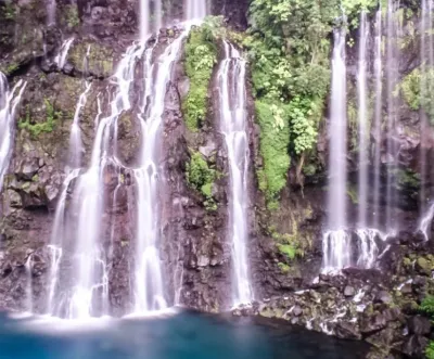
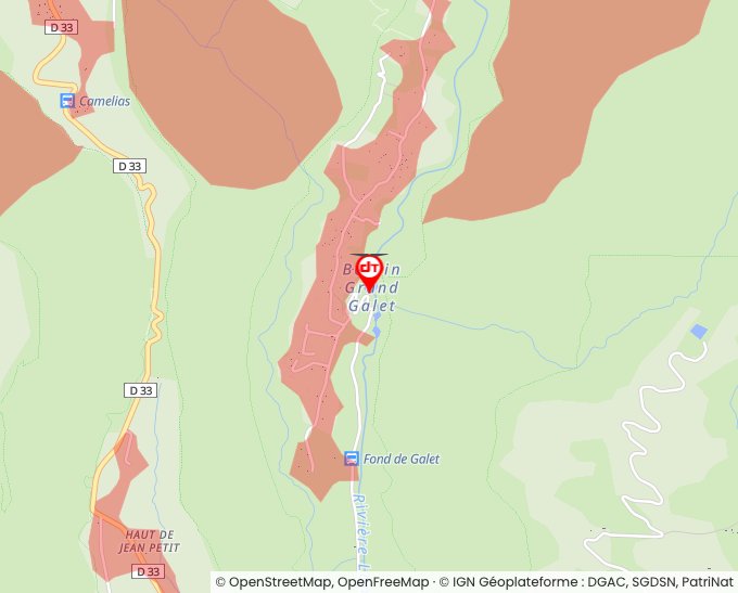
| Cascade de Grand Galet | Water | 120 m max | Direct access by car | 3 | ||
| Lac Argamasse | Water | 120 m max | On foot < 1,000 m | 3 | ||
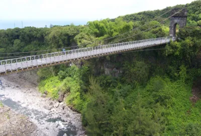
| Rivière de l'Est Suspension Bridge | Tourist site | 120 m max | 39 |