

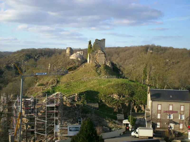
Crozant Castle
No reviews yet
Have you flown here? Share your experience with other pilots.
+ Write the first reviewHistory
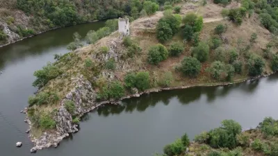
Le plus ancien site d'habitat néolithique actuellement connu en Limousin. L'éperon est également occupé à l'âge du bronze et du fer, ainsi qu'à l'époque gallo-romaine. Le château est attesté pour la première fois dans une charte des années 1200-1210. La fortification date des 13e-15e siècles, construite par les Comtes de la Marche. Une campagne de travaux a lieu vers le milieu du 15e siècle. Lorsque Richelieu fait démantelé le château, ce dernier menace déjà ruine. En 1830, George Sand découvre le site dont le prestige attire de nombreux peintres, créant l'Ecole de Crozant. Quatre tours ont subsisté, n'ayant pas servi de carrière de pierre : la tour du Renard qui a gardé son escalier ; la tour Collin avec une échauguette ou latrine ; la tour écorchée ; la tour carrée ou donjon. Le donjon aurait été élevé au 12e siècle et les tours au 13e. Le reste du château n'est que vestiges.
Map and restricted areas
Open in the main mapRestricted zones
Nearby aerodromes
Open aerodromes within 25 km of the spot, heliports included, with their distance and direction from the spot. Near an aerodrome, drone flying is prohibited or height-limited: check the UAS zones map.
| Aerodrome | Type | Distance | Elevation |
|---|---|---|---|
| Argenton Sur Creuse Airfield | Aerodrome | 22 km N | 202 m |
Aviation weather (METAR and TAF)
No METAR station within 50 km.
Weather and Kp index
Sunrise and sunset
| Day | Dawn | Sunrise | Golden hour | Sunset | Dusk | Day length |
|---|---|---|---|---|---|---|
| Tue 17 Nov | 07:25 | 07:58 | 07:58–08:45 · 16:32–17:19 | 17:19 | 17:52 | 9 h 21 |
| Wed 18 Nov | 07:26 | 07:59 | 07:59–08:46 · 16:31–17:18 | 17:18 | 17:51 | 9 h 18 |
| Thu 19 Nov | 07:28 | 08:01 | 08:01–08:48 · 16:30–17:17 | 17:17 | 17:50 | 9 h 16 |
| Fri 20 Nov | 07:29 | 08:02 | 08:02–08:49 · 16:29–17:16 | 17:16 | 17:49 | 9 h 14 |
| Sat 21 Nov | 07:30 | 08:03 | 08:03–08:51 · 16:28–17:15 | 17:15 | 17:48 | 9 h 11 |
| Sun 22 Nov | 07:32 | 08:05 | 08:05–08:52 · 16:27–17:14 | 17:14 | 17:48 | 9 h 09 |
| Mon 23 Nov | 07:33 | 08:06 | 08:06–08:54 · 16:26–17:14 | 17:14 | 17:47 | 9 h 07 |
Reviews (0)
Log in to review this spot. Log in · Create a free account
No reviews yet. Share yours!