

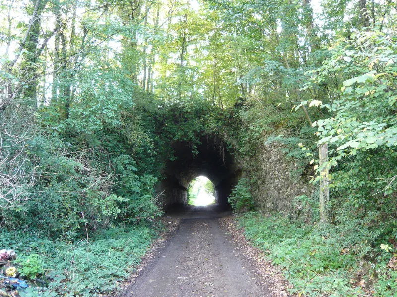
Tunnel
No reviews yet
Have you flown here? Share your experience with other pilots.
+ Write the first reviewHistory
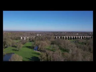
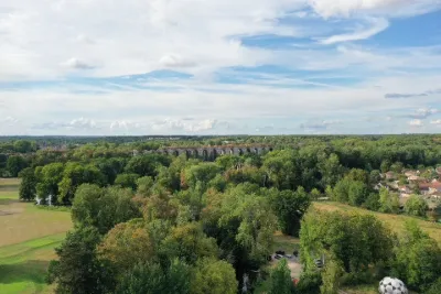
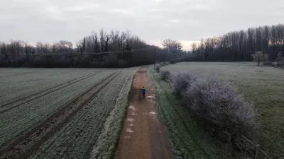
4e quart 17e siècle Les travaux d'adduction des eaux de l'Eure à Versailles en passant par Maintenon, menés sous Louis XIV, ont été en partie réalisés. Sur le plateau entre Chartres et Maintenon subsistent, sur plusieurs kilomètres, d'importants terrassements formant levée pour porter le canal. Sous ces terrassements subsistent d'importants ouvrages d'art : tunels pour le passage des routes, siphons et aqueducs pour l'évacuation des eaux des vallées barrées par les terrassements. Les écluses et la digue de Boizard, destinées à recevoir les eaux de captation, seraient l'oeuvre de Vauban.
Map and restricted areas
Open in the main mapRestricted zones
| Zone | Category | Limits | Conditions |
|---|---|---|---|
| Voltac Gih | Entrainement Militaire | 0 m above ground level → 15241 m above ground level | Pilotage de drones en vue directe : les aéronefs dont la masse est supérieure à 900 grammes sont soumis à notification préalable selon des modalités publiées sur le site www.ecologie.gouv.fr |
| Paris 7 | Zone réglementée | 1529 m above sea level → 2907 m above sea level | Vols interdits sauf lorsque the official document of the zone l'autorise explicitement ou avec l'accord du gestionnaire de la zone lorsqu'il est désigné par the official document of the zone |
| Paris 9 | Zone réglementée | 2138 m above sea level → 3821 m above sea level | Vols interdits sauf lorsque the official document of the zone l'autorise explicitement ou avec l'accord du gestionnaire de la zone lorsqu'il est désigné par the official document of the zone |
| Paris 11 | Zone réglementée | 3053 m above sea level → 6259 m above sea level | Vols interdits sauf lorsque the official document of the zone l'autorise explicitement ou avec l'accord du gestionnaire de la zone lorsqu'il est désigné par the official document of the zone |
Nearby aerodromes
Open aerodromes within 25 km of the spot, heliports included, with their distance and direction from the spot. Near an aerodrome, drone flying is prohibited or height-limited: check the UAS zones map.
| Aerodrome | Type | Distance | Elevation |
|---|---|---|---|
| Bailleau Armenonville Airfield | Aerodrome | 8.9 km SE | 155 m |
| Aérodrome de Chartres-Métropole | Aerodrome | 11 km S | 155 m |
| Centre Hospitalier Heliport | Heliport | 15 km S | 149 m |
| Aérodrome de Dreux - Vernouillet | Aerodrome | 21 km NW | 135 m |
| Centre Hospitalier Heliport | Heliport | 22 km NW | 137 m |
Aviation weather (METAR and TAF)
LFPN – Toussus-le-Noble Airport MVFR
METAR
METAR LFPN 171400Z AUTO 22017KT 9999 BKN026 BKN120 OVC160 15/10 Q0991 BECMG 23018G30KT
- Wind
- 220°, 31 km/h
- Visibility
- 10 km or more
- Clouds
- Broken (5-7/8) at 2,600 ft (790 m) ; Broken (5-7/8) at 12,000 ft (3660 m) ; Overcast (8/8) at 16,000 ft (4880 m)
- Temperature
- 15 °C, dew point 10 °C
- QNH
- 991 hPa
- Flight category
- MVFR: ceiling 1,000–3,000 ft or visibility 3–5 mi
TAF
TAF AMD LFPN 171417Z 1714/1721 23018G30KT 9999 BKN025 PROB40 TEMPO 1716/1721 24025G40KT 2500 SHRA SCT016CB PROB30 TEMPO 1719/1721 TS
| Period (local time) | Change | Wind | Visibility | Weather | Clouds |
|---|---|---|---|---|---|
| 17/11 15:00 → 17/11 22:00 | Initial conditions | 230°, 33 km/h, gusts 56 km/h | 10 km or more | Broken (5-7/8) at 2,500 ft (760 m) | |
| 17/11 17:00 → 17/11 22:00 | Temporarily, probability 40% | 240°, 46 km/h, gusts 74 km/h | 2.5 km | Showers of rain | Scattered (3-4/8) at 1,600 ft (490 m) (cumulonimbus) |
| 17/11 20:00 → 17/11 22:00 | Temporarily, probability 30% | Thunderstorm |
Weather and Kp index
Sunrise and sunset
| Day | Dawn | Sunrise | Golden hour | Sunset | Dusk | Day length |
|---|---|---|---|---|---|---|
| Tue 17 Nov | 07:31 | 08:05 | 08:05–08:55 · 16:23–17:13 | 17:13 | 17:47 | 9 h 07 |
| Wed 18 Nov | 07:32 | 08:06 | 08:06–08:56 · 16:22–17:12 | 17:12 | 17:46 | 9 h 05 |
| Thu 19 Nov | 07:33 | 08:08 | 08:08–08:58 · 16:20–17:10 | 17:10 | 17:45 | 9 h 02 |
| Fri 20 Nov | 07:35 | 08:09 | 08:09–09:00 · 16:19–17:09 | 17:09 | 17:44 | 8 h 59 |
| Sat 21 Nov | 07:36 | 08:11 | 08:11–09:01 · 16:18–17:08 | 17:08 | 17:43 | 8 h 57 |
| Sun 22 Nov | 07:37 | 08:12 | 08:12–09:03 · 16:17–17:08 | 17:08 | 17:42 | 8 h 55 |
| Mon 23 Nov | 07:39 | 08:14 | 08:14–09:05 · 16:16–17:07 | 17:07 | 17:42 | 8 h 52 |
Reviews (0)
Log in to review this spot. Log in · Create a free account
No reviews yet. Share yours!