

Water
Trigny
No reviews yet
Have you flown here? Share your experience with other pilots.
+ Write the first reviewDescription
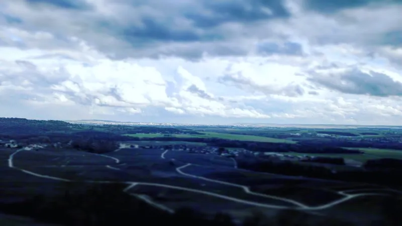
Above Trigny, follow at sight the antennas. There are sometimes paragliders in this area, which in most cases inflate their canopies and make flea jumps. nice view of Reims in the distance when it's clear. there's plenty of room. just check military aircraft flights at low altitudes on certain days.
Map and restricted areas
Open in the main mapNearby aerodromes
Open aerodromes within 25 km of the spot, heliports included, with their distance and direction from the spot. Near an aerodrome, drone flying is prohibited or height-limited: check the UAS zones map.
| Aerodrome | Type | Distance | Elevation | Difference |
|---|---|---|---|---|
| Laboratoires Boehringer Heliport | Heliport | 9.9 km E | 77 m | spot 125 m higher |
| Centre Hospitalier Régional Heliport | Heliport | 13 km SE | 103 m | spot 99 m higher |
| Base ULM de Corbeny | Aerodrome | 17 km N | 70 m | spot 132 m higher |
| Base ULM Azur | Aerodrome | 18 km N | 73 m | spot 129 m higher |
| Aérodrome de Reims Prunay | Aerodrome | 23 km SE | 95 m | spot 107 m higher |
Aviation weather (METAR and TAF)
LFQA – Aérodrome de Reims Prunay VFR
METAR
METAR LFQA 211130Z AUTO 11004KT 080V140 CAVOK 08/06 Q1019
- Wind
- 110°, 7 km/h
- Visibility
- 10 km or more
- Clouds
- –
- Temperature
- 8 °C, dew point 6 °C
- QNH
- 1019 hPa
- Flight category
- VFR: ceiling > 3,000 ft and visibility > 5 mi
TAF
Weather and Kp index
Sunrise and sunset
| Day | Dawn | Sunrise | Golden hour | Sunset | Dusk | Day length |
|---|---|---|---|---|---|---|
| Sat 21 Nov | 07:29 | 08:04 | 08:04–08:56 · 16:05–16:56 | 16:56 | 17:32 | 8 h 52 |
| Sun 22 Nov | 07:30 | 08:06 | 08:06–08:58 · 16:04–16:55 | 16:55 | 17:31 | 8 h 49 |
| Mon 23 Nov | 07:31 | 08:07 | 08:07–08:59 · 16:02–16:55 | 16:55 | 17:30 | 8 h 47 |
| Tue 24 Nov | 07:33 | 08:09 | 08:09–09:01 · 16:01–16:54 | 16:54 | 17:29 | 8 h 45 |
| Wed 25 Nov | 07:34 | 08:10 | 08:10–09:03 · 16:00–16:53 | 16:53 | 17:29 | 8 h 42 |
| Thu 26 Nov | 07:35 | 08:11 | 08:11–09:04 · 15:59–16:52 | 16:52 | 17:28 | 8 h 40 |
| Fri 27 Nov | 07:37 | 08:13 | 08:13–09:06 · 15:58–16:51 | 16:51 | 17:27 | 8 h 38 |




Reviews
Log in to review this spot. Log in · Create a free account
No reviews yet. Share yours!