

The Dessoubre Valley

Description
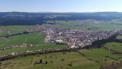
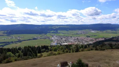
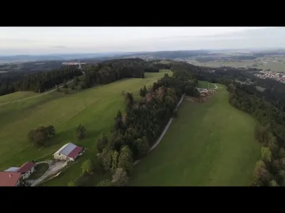
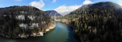
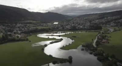
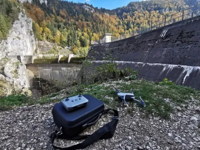
A short flight over the Dessoubre valley (Doubs)25 in June 2017 From the Roche du Prêtre, which rises 350 metres above the Retreat of Consolation, the Dessoubre follows, over 30 kilometres of its course, a valley parallel to the Doubs gorges and, after many meanders, the river ends up in the Doubs at Saint Hippolyte, a small medieval town. Flight performed with a Phantom3 Advanced. Neewer Filter: ND8 Video editing: PowerDirector15
Map and restricted areas
Open in the main mapNearby aerodromes
Open aerodromes within 25 km of the spot, heliports included, with their distance and direction from the spot. Near an aerodrome, drone flying is prohibited or height-limited: check the UAS zones map.
| Aerodrome | Type | Distance | Elevation | Difference |
|---|---|---|---|---|
| Les Eplatures Airport | Airport | 16 km SE | 1,027 m | spot 201 m lower |
| Club ULM Haut Doubs | Aerodrome | 16 km E | 880 m | spot 54 m lower |
Aviation weather (METAR and TAF)
LSGC – Les Eplatures Airport MVFR
METAR
METAR LSGC 211050Z 24007KT 210V280 9999 BKN010 BKN017 BKN032 05/03 Q1019
- Wind
- 240°, 13 km/h
- Visibility
- 10 km or more
- Clouds
- Broken (5-7/8) at 1,000 ft (300 m) ; Broken (5-7/8) at 1,700 ft (520 m) ; Broken (5-7/8) at 3,200 ft (980 m)
- Temperature
- 5 °C, dew point 3 °C
- QNH
- 1019 hPa
- Flight category
- MVFR: ceiling 1,000–3,000 ft or visibility 3–5 mi
TAF
TAF LSGC 210839Z 2109/2118 22005KT 9999 BKN008 BECMG 2109/2112 BKN025
| Period (local time) | Change | Wind | Visibility | Weather | Clouds |
|---|---|---|---|---|---|
| 21/11 10:00 → 21/11 19:00 | Initial conditions | 220°, 9 km/h | 10 km or more | Broken (5-7/8) at 800 ft (240 m) | |
| 21/11 10:00 → 21/11 19:00 | Becoming | 220°, 9 km/h | 10 km or more | Broken (5-7/8) at 2,500 ft (760 m) |
Weather and Kp index
Sunrise and sunset
| Day | Dawn | Sunrise | Golden hour | Sunset | Dusk | Day length |
|---|---|---|---|---|---|---|
| Sat 21 Nov | 07:12 | 07:46 | 07:46–08:34 · 16:05–16:53 | 16:53 | 17:27 | 9 h 07 |
| Sun 22 Nov | 07:13 | 07:47 | 07:47–08:36 · 16:03–16:52 | 16:52 | 17:26 | 9 h 04 |
| Mon 23 Nov | 07:15 | 07:49 | 07:49–08:38 · 16:02–16:51 | 16:51 | 17:25 | 9 h 02 |
| Tue 24 Nov | 07:16 | 07:50 | 07:50–08:39 · 16:01–16:50 | 16:50 | 17:24 | 9 h 00 |
| Wed 25 Nov | 07:17 | 07:51 | 07:51–08:41 · 16:00–16:50 | 16:50 | 17:24 | 8 h 58 |
| Thu 26 Nov | 07:18 | 07:53 | 07:53–08:42 · 16:00–16:49 | 16:49 | 17:23 | 8 h 56 |
| Fri 27 Nov | 07:20 | 07:54 | 07:54–08:44 · 15:59–16:48 | 16:48 | 17:23 | 8 h 54 |
Reviews
Log in to review this spot. Log in · Create a free account
Gégé90850
Superbe vidéo