

Clairière du bois de Fontmagnie
1 pilot review
“Superbe, belle prise de vue” — Eole56, 5 years ago
Read the reviews + Write my reviewDescription
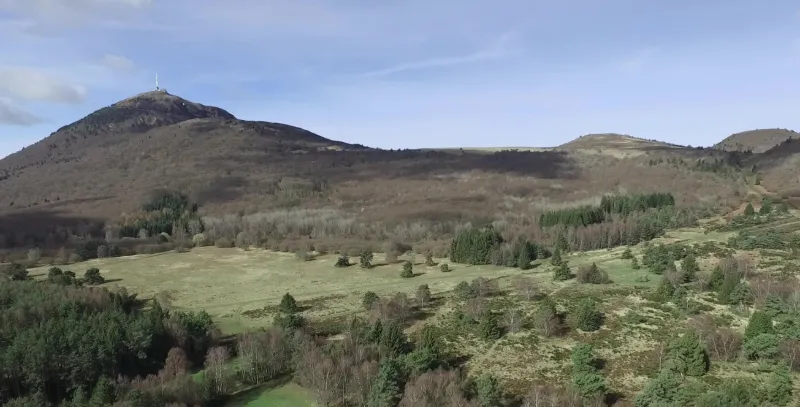
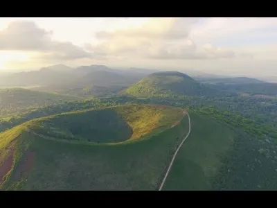
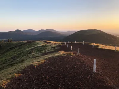
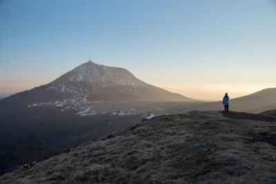
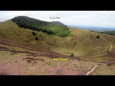
Very wide clearing, like a plateau at the foot of the Puy de Dôme and the Puy Pariou. For the most direct access to the site, park in the small car park before entering the Golf des Volcans, then continue on foot for about 1.5km (20min) across the Golf. There's a path is open to the public, very busy. On good weather days, the site is very popular with sports enthusiasts and families on walks. The site is large enough to get away from people. (This clearing (under the snow) is visible from the beginning of the linked video)
Map and restricted areas
Open in the main mapNearby aerodromes
Open aerodromes within 25 km of the spot, heliports included, with their distance and direction from the spot. Near an aerodrome, drone flying is prohibited or height-limited: check the UAS zones map.
| Aerodrome | Type | Distance | Elevation | Difference |
|---|---|---|---|---|
| Centre Hospitalier Heliport | Heliport | 9.1 km E | 416 m | spot 525 m higher |
| Clermont-Ferrand Auvergne Airport | Airport | 14 km E | 332 m | spot 609 m higher |
Aviation weather (METAR and TAF)
LFLC – Clermont-Ferrand Auvergne Airport VFR
METAR
METAR LFLC 211030Z AUTO 15003KT 080V230 CAVOK 11/07 Q1019 NOSIG
- Wind
- 150°, 6 km/h
- Visibility
- 10 km or more
- Clouds
- –
- Temperature
- 11 °C, dew point 7 °C
- QNH
- 1019 hPa
- Flight category
- VFR: ceiling > 3,000 ft and visibility > 5 mi
TAF
TAF LFLC 210500Z 2106/2206 19005KT 9999 BKN030
| Period (local time) | Change | Wind | Visibility | Weather | Clouds |
|---|---|---|---|---|---|
| 21/11 07:00 → 22/11 07:00 | Initial conditions | 190°, 9 km/h | 10 km or more | Broken (5-7/8) at 3,000 ft (910 m) |
Weather and Kp index
Sunrise and sunset
| Day | Dawn | Sunrise | Golden hour | Sunset | Dusk | Day length |
|---|---|---|---|---|---|---|
| Sat 21 Nov | 07:23 | 07:56 | 07:56–08:43 · 16:25–17:12 | 17:12 | 17:44 | 9 h 15 |
| Sun 22 Nov | 07:25 | 07:57 | 07:57–08:44 · 16:24–17:11 | 17:11 | 17:44 | 9 h 13 |
| Mon 23 Nov | 07:26 | 07:59 | 07:59–08:46 · 16:23–17:10 | 17:10 | 17:43 | 9 h 11 |
| Tue 24 Nov | 07:27 | 08:00 | 08:00–08:47 · 16:22–17:09 | 17:09 | 17:42 | 9 h 09 |
| Wed 25 Nov | 07:28 | 08:01 | 08:01–08:49 · 16:21–17:09 | 17:09 | 17:42 | 9 h 07 |
| Thu 26 Nov | 07:29 | 08:03 | 08:03–08:50 · 16:21–17:08 | 17:08 | 17:41 | 9 h 05 |
| Fri 27 Nov | 07:31 | 08:04 | 08:04–08:52 · 16:20–17:08 | 17:08 | 17:41 | 9 h 03 |

Reviews
Log in to review this spot. Log in · Create a free account
Eole56
Superbe, belle prise de vue