Skip to content
Water

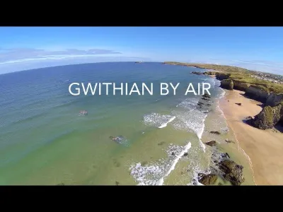
GWITHIAN BY AIR (Cornwall)
United Kingdom

The video is only loaded from YouTube (youtube-nocookie.com) when you start it.

No reviews yet

Have you flown here? Share your experience with other pilots.

+ Write the first review

Description

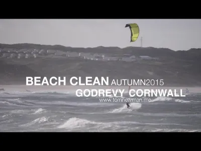
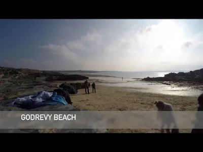
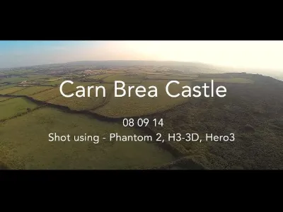
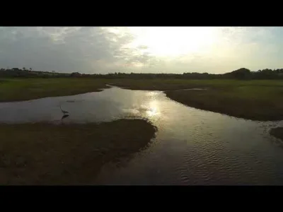
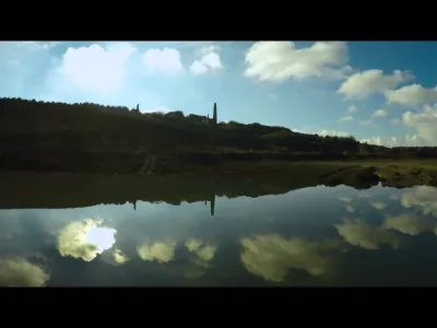
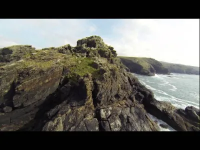
We went for a stroll today along Gwithian headland in Cornwall, with my gopro and my new Phantom 2. This is the result. Enjoy. Test

Aviation weather (METAR and TAF)

EGDR – RNAS Culdrose · 18 km SE ?

METAR

Observed 21/11 12:20 · 27 min ago

METAR EGDR 211220Z AUTO 13013KT //// SCT012/// 12/10 Q1011

Wind
130°, 24 km/h
Visibility
–
Clouds
Scattered (3-4/8) at 1,200 ft (370 m)
Temperature
12 °C, dew point 10 °C
QNH
1011 hPa
Flight category
Unknown category

TAF

This station does not issue a TAF (or none is currently valid).

METAR and TAF from NOAA (Aviation Weather Center), for guidance only: they do not replace flight planning with official sources (SIA, Météo-France). Nearest station that issues a METAR, not necessarily the nearest aerodrome.

Plan the light

Weather and Kp index

Loading forecast…

Sunrise and sunset

Local times at the spot (UTC). The golden hour, the warm, low light sought after for photos and videos, runs from sunrise until the sun reaches 6° above the horizon, and in the evening from 6° until sunset.

Day Dawn Sunrise Golden hour Sunset Dusk Day length
Sat 21 Nov07:08 07:45 07:45–08:38 · 15:37–16:30 16:30 17:068 h 45
Sun 22 Nov07:10 07:46 07:46–08:40 · 15:36–16:29 16:29 17:068 h 42
Mon 23 Nov07:11 07:48 07:48–08:42 · 15:34–16:28 16:28 17:058 h 40
Tue 24 Nov07:13 07:49 07:49–08:43 · 15:33–16:27 16:27 17:048 h 37
Wed 25 Nov07:14 07:51 07:51–08:45 · 15:32–16:26 16:26 17:038 h 35
Thu 26 Nov07:15 07:52 07:52–08:47 · 15:31–16:25 16:25 17:028 h 33
Fri 27 Nov07:17 07:54 07:54–08:49 · 15:30–16:25 16:25 17:028 h 30

Nearby on Wikipedia

  • Godrevy · 1.7 km away

    Godrevy (en cornique : Godrevy, littéralement : petites fermes) (/ ɡədriːvi / gə-Dree-vé) est une région de la côte orientale de la baie de St Ives, à l'ouest des Cornouailles (Angleterre, Royaume-Uni) et est propriété du National Trust for Places of Historic Interest or Natural Beauty (...)

  • Phare de Godrevy · 2.2 km away

    Le phare de Godrevy est un phare situé sur l'île de Godrevy, à 300 m face à Godrevy Head, dans la baie de St Ives dans le comté de Cornouailles en Angleterre. Ce phare est maintenant désaffecté mais continue à servir de repère de jour (...)

  • Baie de St Ives · 3.4 km away

    La Baie de St Ives, (en anglais : St Ives Bay, en Cornique : Cammas an Tewyn, qui signifie baie des dunes de sable) est une Baie sur la côte atlantique du nord-ouest du comté de Cornouailles, en Angleterre (Royaume-Uni) (...)

  • Hayle · 4.7 km away

    Hayle (Heyl en cornique) est une ville des Cornouailles, en Angleterre. Elle est située sur la côte nord du comté, sur la baie de St Ives, à l'embouchure du fleuve Hayle. Au moment du recensement de 2011, elle comptait .. (...)

  • St Ives (Cornouailles) · 6.2 km away

    St Ives est une ville de Cornouailles, appelée Porthia (le port de Ia) en cornique. Cette ville côtière, en baie de St Ives, commune du district de Penwith est située au nord de Penzance et à l'ouest de Camborne (...)

Articles found by GeoNames from the spot's position.

Nearby spots

Reviews

Log in to review this spot. Log in · Create a free account

No reviews yet. Share yours!

Connection to the site lost. Trying again…

The site is not responding. Trying again in seconds.

The site is no longer responding.

The site has been updated. Reloading the page…

This page has expired.

Resuming failed. Please reload the page.

The site is no longer responding.