Skip to content
Water

Water Of Nevis
United Kingdom

The video is only loaded from YouTube (youtube-nocookie.com) when you start it.

No reviews yet

Have you flown here? Share your experience with other pilots.

+ Write the first review

Description

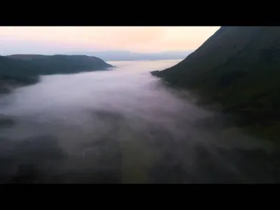
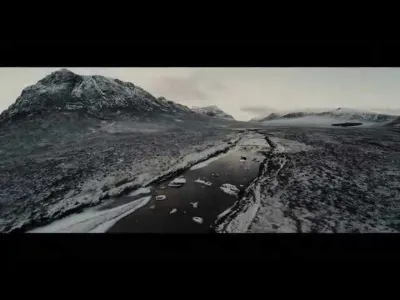
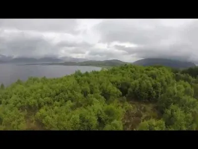
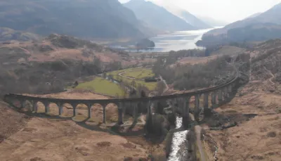
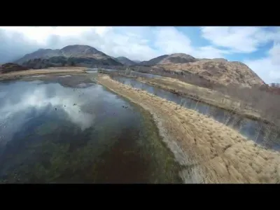
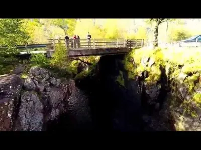
Water of Nevis is the river that originates from Ben Nevis and Steall Falls in Glen Nevis, this video was shot with a DJI Phantom 2 and GoPro Hero3+ at 1080 50 frames per second with Protune on.

Automatic translation.

Aviation weather (METAR and TAF)

EGEO – Oban Airport · 41 km SW VFR

METAR

Observed 21/11 12:20 · 38 min ago

METAR EGEO 211220Z 08005KT 050V120 9999 FEW034 04/M01 Q1016

Wind
080°, 9 km/h
Visibility
10 km or more
Clouds
Few (1-2/8) at 3,400 ft (1040 m)
Temperature
4 °C, dew point -1 °C
QNH
1016 hPa
Flight category
VFR: ceiling > 3,000 ft and visibility > 5 mi

TAF

Issued 21/11 10:59 · valid from 21/11 12:00 to 21/11 15:00

TAF EGEO 211059Z 2112/2115 08006KT 9999 FEW035

Period (local time) Change Wind Visibility Weather Clouds
21/11 12:00 → 21/11 15:00 Initial conditions 080°, 11 km/h 10 km or more Few (1-2/8) at 3,500 ft (1070 m)

Empty cell: no change forecast for that element.

METAR and TAF from NOAA (Aviation Weather Center), for guidance only: they do not replace flight planning with official sources (SIA, Météo-France). Nearest station that issues a METAR, not necessarily the nearest aerodrome.

Plan the light

Weather and Kp index

Loading forecast…

Sunrise and sunset

Local times at the spot (UTC). The golden hour, the warm, low light sought after for photos and videos, runs from sunrise until the sun reaches 6° above the horizon, and in the evening from 6° until sunset.

Day Dawn Sunrise Golden hour Sunset Dusk Day length
Sat 21 Nov07:28 08:13 08:13–09:23 · 14:49–15:59 15:59 16:447 h 46
Sun 22 Nov07:30 08:15 08:15–09:26 · 14:47–15:58 15:58 16:427 h 42
Mon 23 Nov07:32 08:17 08:17–09:28 · 14:45–15:56 15:56 16:417 h 39
Tue 24 Nov07:34 08:19 08:19–09:31 · 14:43–15:55 15:55 16:407 h 35
Wed 25 Nov07:35 08:21 08:21–09:34 · 14:41–15:53 15:53 16:397 h 32
Thu 26 Nov07:37 08:23 08:23–09:36 · 14:39–15:52 15:52 16:387 h 29
Fri 27 Nov07:39 08:25 08:25–09:39 · 14:37–15:51 15:51 16:377 h 26

Nearby on Wikipedia

  • Glen Nevis · 0.1 km away

    Le Glen Nevis est un glen d'Écosse situé dans les monts Grampians, au pied des versants sud et ouest du Ben Nevis, en amont de Fort William dans les Highlands. Il abrite la troisième plus haute chute d'eau d'Écosse, la .

  • Ben Nevis · 3.6 km away

    Le Ben Nevis est le point culminant des îles Britanniques avec d'altitude. Situé près de Fort William en Écosse, il fait partie des monts Grampians dans les Highlands. Gravi pour la première fois en 1771, il est coiffé par les ruines d'un observatoire construit et utilisé à la fin du pour effectuer (...)

  • Càrn Mòr Dearg · 5.0 km away

    Le Càrn Mòr Dearg est le huitième plus haut sommet d'Écosse, avec d'altitude. Situé près de Fort William en Écosse, il fait partie des monts Grampians dans les Highlands. Il s'élève au nord-est du Ben Nevis, point culminant des îles Britanniques, avec lequel il est relié par une arête.

  • Càrn Dearg Meadhonach · 5.2 km away

    Le Càrn Dearg Meadhonach est un sommet d'Écosse culminant à d'altitude. Situé près de Fort William en Écosse, il fait partie des monts Grampians dans les Highlands. Il s'élève au nord-est du Ben Nevis, point culminant des îles Britanniques, et au nord du Càrn Mòr Dearg avec lequel il est relié par (...)

  • Aonach Beag · 5.9 km away

    L'Aonach Beag est une montagne du Royaume-Uni située en Écosse, dans les monts Grampians, à trois kilomètres à vol d'oiseau à l'est du Ben Nevis. La montagne a la particularité de présenter sur sa face nord un des rares névés permanents d'Écosse. Il se trouve dans une combe à une altitude d'environ (...)

Articles found by GeoNames from the spot's position.

Nearby spots

Reviews

Log in to review this spot. Log in · Create a free account

No reviews yet. Share yours!

Connection to the site lost. Trying again…

The site is not responding. Trying again in seconds.

The site is no longer responding.

The site has been updated. Reloading the page…

This page has expired.

Resuming failed. Please reload the page.

The site is no longer responding.