

Water
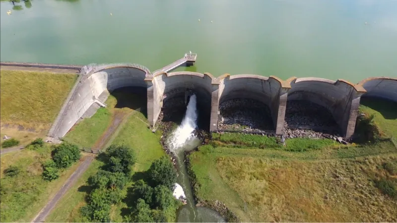
Barrage de Verdon
1 pilot review
“zone de vol interdite au drone.” — Catfacar, 2 years ago
Read the reviews + Write my reviewDescription
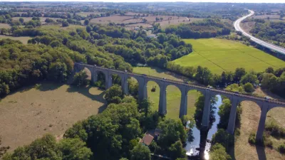
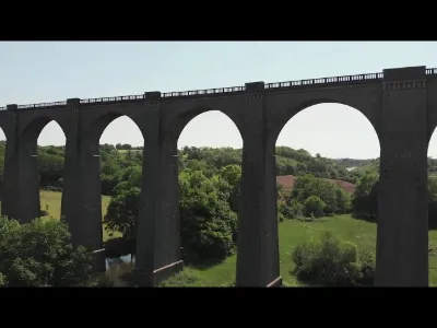
Verdon dam on the lake of Verdon. Height limited to 50m in flight due to the proximity of the Cholet aerodrome. Parking directly accessible by car, plenty of space to take off and land with grass or tar on the dyke. Very nice setting thanks to the lake and the dam. Be careful not to fly over the houses on the other side of the road.
Map and restricted areas
Open in the main mapNearby aerodromes
Open aerodromes within 25 km of the spot, heliports included, with their distance and direction from the spot. Near an aerodrome, drone flying is prohibited or height-limited: check the UAS zones map.
| Aerodrome | Type | Distance | Elevation | Difference |
|---|---|---|---|---|
| Centre Hospitalier Cholet Heliport | Heliport | 6.2 km NW | 107 m | spot 18 m lower |
| Cholet Le Pontreau Airport | Airport | 8.0 km NW | 135 m | spot 46 m lower |
| Mauléon Airport | Aerodrome | 16 km SE | 176 m | spot 87 m lower |
Aviation weather (METAR and TAF)
No METAR station within 50 km.
Weather and Kp index
Sunrise and sunset
| Day | Dawn | Sunrise | Golden hour | Sunset | Dusk | Day length |
|---|---|---|---|---|---|---|
| Sat 21 Nov | 07:42 | 08:15 | 08:15–09:03 · 16:35–17:23 | 17:23 | 17:57 | 9 h 07 |
| Sun 22 Nov | 07:43 | 08:17 | 08:17–09:05 · 16:34–17:22 | 17:22 | 17:56 | 9 h 05 |
| Mon 23 Nov | 07:44 | 08:18 | 08:18–09:07 · 16:33–17:21 | 17:21 | 17:55 | 9 h 03 |
| Tue 24 Nov | 07:45 | 08:19 | 08:19–09:08 · 16:32–17:21 | 17:21 | 17:55 | 9 h 01 |
| Wed 25 Nov | 07:47 | 08:21 | 08:21–09:10 · 16:31–17:20 | 17:20 | 17:54 | 8 h 59 |
| Thu 26 Nov | 07:48 | 08:22 | 08:22–09:11 · 16:30–17:19 | 17:19 | 17:53 | 8 h 57 |
| Fri 27 Nov | 07:49 | 08:23 | 08:23–09:13 · 16:29–17:19 | 17:19 | 17:53 | 8 h 55 |

Reviews
Log in to review this spot. Log in · Create a free account
Catfacar
zone de vol interdite au drone.