

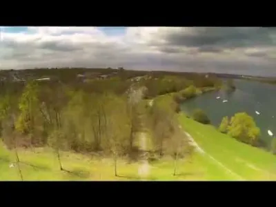
Lake of Vaires and the Marne riverbanks in flood and under the snow

2 pilot reviews
“Bonjour, Pour info, je confirme l'interdiction par la préfecture. J'ai eu la bonne idée de…” — gg10, 6 years ago
Read the reviews + Write my reviewDescription
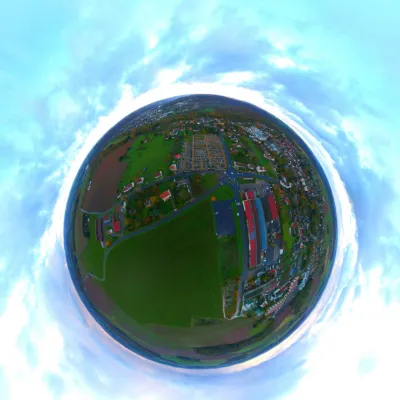
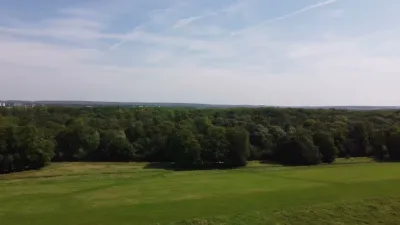
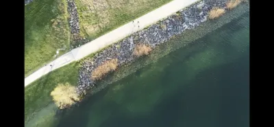
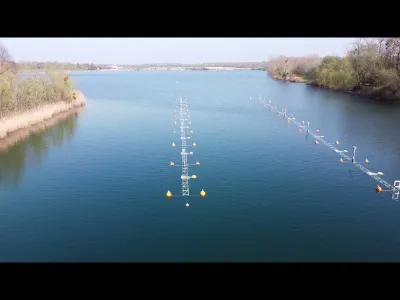
This video was shot in January 2018 during the flooding episode that hit the Paris region. In addition to the flood, the video was shot the day after the snowy episode that paralysed the IDF region in January 2018. The video was shot on the edge of the marl and at the Lac de Vaires in Seine et Marne. The aerial videos were made with a Mavic pro DJI drone and the ground shots were made with the Hero 6 pro go.
Map and restricted areas
Open in the main mapNearby aerodromes
Open aerodromes within 25 km of the spot, heliports included, with their distance and direction from the spot. Near an aerodrome, drone flying is prohibited or height-limited: check the UAS zones map.
| Aerodrome | Type | Distance | Elevation | Difference |
|---|---|---|---|---|
| Aérodrome de Chelles-le-Pin | Aerodrome | 3.4 km N | 63 m | spot 21 m lower |
| Lognes Emerainville | Aerodrome | 5.3 km S | 109 m | spot 68 m lower |
| Centre Hospitalier Intercommunal Robert Ballanger Heliport | Heliport | 12 km NW | 58 m | spot 16 m lower |
| Centre Hospitalier Henri Mondor Heliport | Heliport | 14 km SW | 49 m | spot 7 m lower |
| Paris-Le Bourget Airport | Airport | 17 km NW | 66 m | spot 25 m lower |
Aviation weather (METAR and TAF)
LFPB – Paris-Le Bourget Airport MVFR
METAR
METAR LFPB 211130Z AUTO 14006KT 9999 BKN014 BKN028 OVC058 11/08 Q1018
- Wind
- 140°, 11 km/h
- Visibility
- 10 km or more
- Clouds
- Broken (5-7/8) at 1,400 ft (430 m) ; Broken (5-7/8) at 2,800 ft (850 m) ; Overcast (8/8) at 5,800 ft (1770 m)
- Temperature
- 11 °C, dew point 8 °C
- QNH
- 1018 hPa
- Flight category
- MVFR: ceiling 1,000–3,000 ft or visibility 3–5 mi
TAF
TAF LFPB 210500Z 2106/2206 09005KT 6000 BKN060 TEMPO 2106/2111 4000 BR BKN008 PROB30 TEMPO 2106/2109 1500 BR BKN004 BECMG 2113/2116 BKN020
| Period (local time) | Change | Wind | Visibility | Weather | Clouds |
|---|---|---|---|---|---|
| 21/11 07:00 → 21/11 14:00 | Initial conditions | 090°, 9 km/h | 6 km | Broken (5-7/8) at 6,000 ft (1830 m) | |
| 21/11 07:00 → 21/11 10:00 | Temporarily, probability 30% | 1.5 km | Mist | Broken (5-7/8) at 400 ft (120 m) | |
| 21/11 07:00 → 21/11 12:00 | Temporarily | 4.0 km | Mist | Broken (5-7/8) at 800 ft (240 m) | |
| 21/11 14:00 → 22/11 07:00 | Becoming | 090°, 9 km/h | 6 km | Broken (5-7/8) at 2,000 ft (610 m) |
Weather and Kp index
Sunrise and sunset
| Day | Dawn | Sunrise | Golden hour | Sunset | Dusk | Day length |
|---|---|---|---|---|---|---|
| Sat 21 Nov | 07:33 | 08:08 | 08:08–08:59 · 16:12–17:03 | 17:03 | 17:38 | 8 h 55 |
| Sun 22 Nov | 07:34 | 08:09 | 08:09–09:00 · 16:11–17:02 | 17:02 | 17:37 | 8 h 52 |
| Mon 23 Nov | 07:35 | 08:11 | 08:11–09:02 · 16:10–17:01 | 17:01 | 17:37 | 8 h 50 |
| Tue 24 Nov | 07:37 | 08:12 | 08:12–09:04 · 16:09–17:00 | 17:00 | 17:36 | 8 h 48 |
| Wed 25 Nov | 07:38 | 08:14 | 08:14–09:05 · 16:08–17:00 | 17:00 | 17:35 | 8 h 46 |
| Thu 26 Nov | 07:39 | 08:15 | 08:15–09:07 · 16:07–16:59 | 16:59 | 17:34 | 8 h 43 |
| Fri 27 Nov | 07:41 | 08:16 | 08:16–09:09 · 16:06–16:58 | 16:58 | 17:34 | 8 h 41 |

Reviews
Log in to review this spot. Log in · Create a free account
gg10
Bonjour, Pour info, je confirme l'interdiction par la préfecture. J'ai eu la bonne idée de demander l'autorisation et la réponse n'a pas traîné... (copie jointe)
LouloOWeB
Discussion avec le Directeur du site hier, ou il m'a confirmé qu'il faisait la chasse aux pilotes de drones de loisirs sur le site, surtout le Week-End, car il y a beaucoup de monde sur la base, et il a peur d'un accident un jour. Il est en relation avec le Préfet pour mettre en place une interdiction de survol de la Base de Loisirs en vue de son évolution pour le site Olympique de 2024. A suivre ...