

Little Green's Flowered Pond
No reviews yet
Have you flown here? Share your experience with other pilots.
+ Write the first reviewDescription
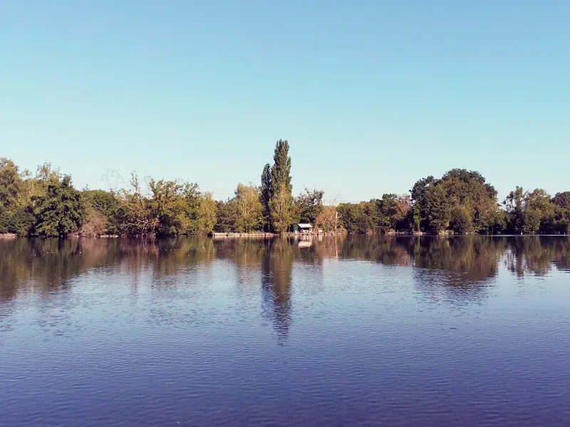
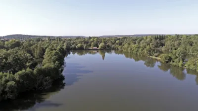
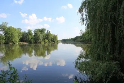
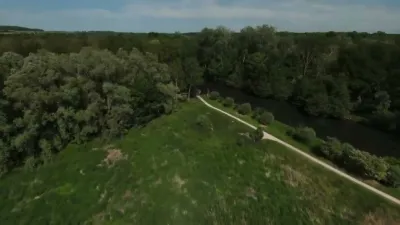
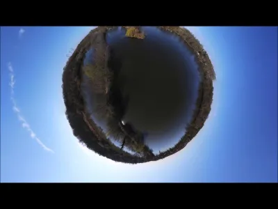
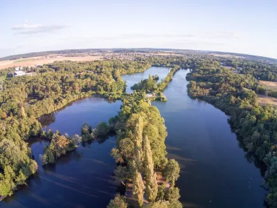
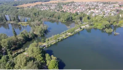
This place is magical: ponds in a row in a very quiet area! A car park allows you to park your car, and the ponds are immediately accessible by several paths. Pay attention to the following topics: the military field on the other side of the road forbids any photo taking, and therefore a foriori any video of a UAV! Second topic: birds (mainly swans and ducks), which can potentially be interested in your UAV if you fly towards them. And finally, please respect the peace and quiet of the fishermen on the following ponds. Super nice spot!
Map and restricted areas
Open in the main mapNearby aerodromes
Open aerodromes within 25 km of the spot, heliports included, with their distance and direction from the spot. Near an aerodrome, drone flying is prohibited or height-limited: check the UAS zones map.
| Aerodrome | Type | Distance | Elevation | Difference |
|---|---|---|---|---|
| Cerny-La Ferté Alais Airfield | Aerodrome | 5.6 km SW | 138 m | spot 91 m lower |
| Centre Hospitalier Heliport | Heliport | 9.8 km NE | 78 m | spot 30 m lower |
| Centre Hospitalier Sud Francilien Heliport | Heliport | 11 km NE | 78 m | spot 31 m lower |
| Base ULM de Genevrelle à Maisse | Aerodrome | 17 km S | 128 m | spot 81 m lower |
| Paris-Orly Airport | Major airport | 20 km N | 89 m | spot 41 m lower |
Aviation weather (METAR and TAF)
LFPO – Paris-Orly Airport IFR
METAR
METAR LFPO 211130Z 18004KT 9999 BKN008 BKN013 10/09 Q1018 BECMG SCT006 OVC016
- Wind
- 180°, 7 km/h
- Visibility
- 10 km or more
- Clouds
- Broken (5-7/8) at 800 ft (240 m) ; Broken (5-7/8) at 1,300 ft (400 m)
- Temperature
- 10 °C, dew point 9 °C
- QNH
- 1018 hPa
- Flight category
- IFR: ceiling 500–1,000 ft or visibility 1–3 mi
TAF
TAF LFPO 211100Z 2112/2218 17005KT 9999 SCT006 OVC016 TEMPO 2112/2116 OVC012 PROB30 2112/2114 4000 -DZ BKN006 BECMG 2203/2205 4000 -RA TEMPO 2203/2216 2500 -DZRA OVC006
| Period (local time) | Change | Wind | Visibility | Weather | Clouds |
|---|---|---|---|---|---|
| 21/11 13:00 → 22/11 04:00 | Initial conditions | 170°, 9 km/h | 10 km or more | Scattered (3-4/8) at 600 ft (180 m) ; Overcast (8/8) at 1,600 ft (490 m) | |
| 21/11 13:00 → 21/11 17:00 | Temporarily | Overcast (8/8) at 1,200 ft (370 m) | |||
| 21/11 13:00 → 21/11 15:00 | probability 30% | 4.0 km | Drizzle light | Broken (5-7/8) at 600 ft (180 m) | |
| 22/11 04:00 → 22/11 19:00 | Becoming | 170°, 9 km/h | 4.0 km | Rain light | Scattered (3-4/8) at 600 ft (180 m) ; Overcast (8/8) at 1,600 ft (490 m) |
| 22/11 04:00 → 22/11 17:00 | Temporarily | 2.5 km | Drizzle light ; rain light | Overcast (8/8) at 600 ft (180 m) |
Weather and Kp index
Sunrise and sunset
| Day | Dawn | Sunrise | Golden hour | Sunset | Dusk | Day length |
|---|---|---|---|---|---|---|
| Sat 21 Nov | 07:33 | 08:08 | 08:08–08:58 · 16:15–17:05 | 17:05 | 17:40 | 8 h 57 |
| Sun 22 Nov | 07:34 | 08:09 | 08:09–09:00 · 16:14–17:04 | 17:04 | 17:39 | 8 h 55 |
| Mon 23 Nov | 07:35 | 08:10 | 08:10–09:01 · 16:12–17:03 | 17:03 | 17:38 | 8 h 52 |
| Tue 24 Nov | 07:37 | 08:12 | 08:12–09:03 · 16:11–17:02 | 17:02 | 17:38 | 8 h 50 |
| Wed 25 Nov | 07:38 | 08:13 | 08:13–09:05 · 16:10–17:02 | 17:02 | 17:37 | 8 h 48 |
| Thu 26 Nov | 07:39 | 08:15 | 08:15–09:06 · 16:09–17:01 | 17:01 | 17:36 | 8 h 46 |
| Fri 27 Nov | 07:41 | 08:16 | 08:16–09:08 · 16:08–17:00 | 17:00 | 17:36 | 8 h 44 |
Reviews
Log in to review this spot. Log in · Create a free account
No reviews yet. Share yours!