

Saint Cirq lapopie
No reviews yet
Have you flown here? Share your experience with other pilots.
+ Write the first reviewDescription
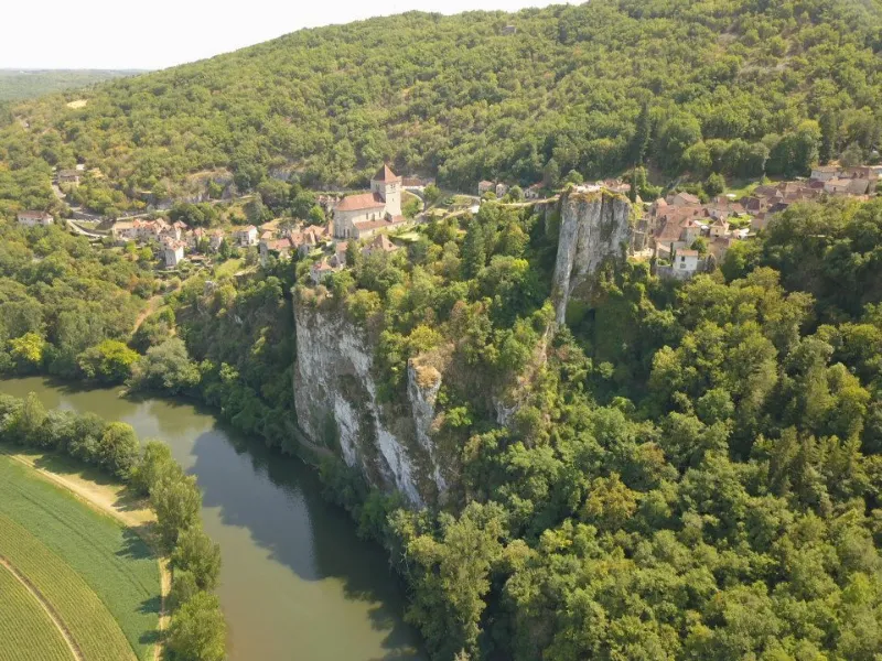
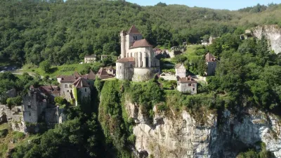
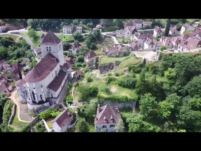
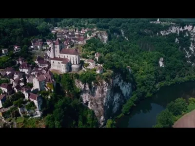
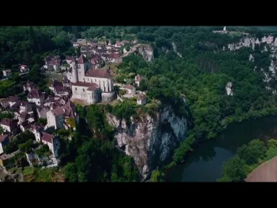
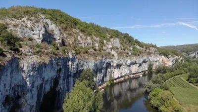
Shooting of Saint Cirq Lapopie. Magnificent and unmissable place in this beautiful department of the Lot. Take-off from the north-west of the site (small isolated car park on the left side of the road) about 400 metres from the village. Max flying height: 50 m For your information, flying over the village is forbidden, so you have to be content with side shots following the bed of the Dordogne. Be careful with the two no flight zone located in front of the village (hotel and private properties).
Map and restricted areas
Open in the main mapNearby aerodromes
Open aerodromes within 25 km of the spot, heliports included, with their distance and direction from the spot. Near an aerodrome, drone flying is prohibited or height-limited: check the UAS zones map.
| Aerodrome | Type | Distance | Elevation | Difference |
|---|---|---|---|---|
| Cabrerets ULM | Aerodrome | 7.5 km NW | 359 m | spot 200 m lower |
| Aérodrome de Cahors-Lalbenque | Airport | 20 km SW | 278 m | spot 119 m lower |
| Aérodrome de Figeac - Livernon | Aerodrome | 24 km NE | 331 m | spot 172 m lower |
Aviation weather (METAR and TAF)
No METAR station within 50 km.
Weather and Kp index
Sunrise and sunset
| Day | Dawn | Sunrise | Golden hour | Sunset | Dusk | Day length |
|---|---|---|---|---|---|---|
| Sat 21 Nov | 07:26 | 07:57 | 07:57–08:43 · 16:36–17:21 | 17:21 | 17:53 | 9 h 23 |
| Sun 22 Nov | 07:27 | 07:59 | 07:59–08:44 · 16:35–17:20 | 17:20 | 17:52 | 9 h 21 |
| Mon 23 Nov | 07:28 | 08:00 | 08:00–08:45 · 16:34–17:20 | 17:20 | 17:52 | 9 h 19 |
| Tue 24 Nov | 07:29 | 08:01 | 08:01–08:47 · 16:33–17:19 | 17:19 | 17:51 | 9 h 17 |
| Wed 25 Nov | 07:30 | 08:02 | 08:02–08:48 · 16:32–17:18 | 17:18 | 17:50 | 9 h 15 |
| Thu 26 Nov | 07:31 | 08:04 | 08:04–08:50 · 16:32–17:18 | 17:18 | 17:50 | 9 h 14 |
| Fri 27 Nov | 07:33 | 08:05 | 08:05–08:51 · 16:31–17:17 | 17:17 | 17:49 | 9 h 12 |

Reviews
Log in to review this spot. Log in · Create a free account
No reviews yet. Share yours!