

Ploumanac'h - On the Pink Granite Coast
Description
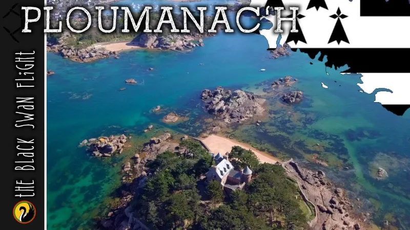
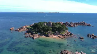
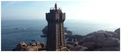
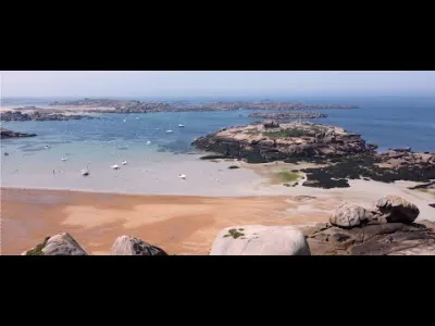
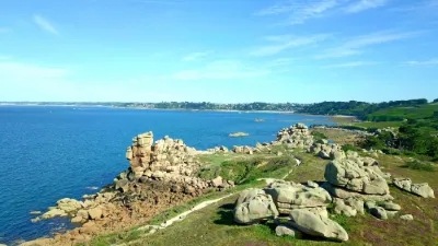
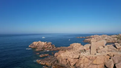
Ploumanac'h is a village in the commune of Perros-Guirec in the department of Côtes-d'Armor, in the region of Brittany, France. In 2015, the town is designated "France's favourite village" following a competition organised by France 2. On the pink granite coast, more or less metamorphic sedimentary and volcano-sedimentary formations of the Briovian are intersected by the immense intrusive Cadomian batholitegranitic batholith of Bréhat-Perros-Guirec. To the west, the Ploumanac'h granitic complex, of modest size (ellipse of 12.4 x 7.7 km taking into account the progressive plunge into the sea of a reef platform), was set up. This Trégorrois complex shows a remarkable arrangement of the different lithological sets in concentric halos. Made up of the successive intrusion of three magmatic bodies, they create what is called a "centered complex". This granite massif is accessible in all its components thanks to the division of the shoreline, the size of the foreshore and the number of granite islets close to the coast. The petrographic and structural (foliation, enclaves) variety of magmatic rocks thus constitutes a veritable open-air museum for amateur and professional geologists.
Map and restricted areas
Open in the main mapNearby aerodromes
Open aerodromes within 25 km of the spot, heliports included, with their distance and direction from the spot. Near an aerodrome, drone flying is prohibited or height-limited: check the UAS zones map.
| Aerodrome | Type | Distance | Elevation | Difference |
|---|---|---|---|---|
| Lannion-Côte de Granit Airport | Airport | 9.1 km S | 88 m | spot 85 m lower |
| Centre Hospitalier Heliport | Heliport | 13 km S | 28 m | spot 25 m lower |
Aviation weather (METAR and TAF)
LFRO – Lannion-Côte de Granit Airport VFR
METAR
METAR LFRO 210630Z AUTO 14008KT CAVOK 05/05 Q1015
- Wind
- 140°, 15 km/h
- Visibility
- 10 km or more
- Clouds
- –
- Temperature
- 5 °C, dew point 5 °C
- QNH
- 1015 hPa
- Flight category
- VFR: ceiling > 3,000 ft and visibility > 5 mi
TAF
Weather and Kp index
Sunrise and sunset
| Day | Dawn | Sunrise | Golden hour | Sunset | Dusk | Day length |
|---|---|---|---|---|---|---|
| Sat 21 Nov | 07:57 | 08:32 | 08:32–09:23 · 16:37–17:28 | 17:28 | 18:03 | 8 h 55 |
| Sun 22 Nov | 07:58 | 08:34 | 08:34–09:25 · 16:35–17:27 | 17:27 | 18:02 | 8 h 53 |
| Mon 23 Nov | 08:00 | 08:35 | 08:35–09:26 · 16:34–17:26 | 17:26 | 18:01 | 8 h 50 |
| Tue 24 Nov | 08:01 | 08:36 | 08:36–09:28 · 16:33–17:25 | 17:25 | 18:00 | 8 h 48 |
| Wed 25 Nov | 08:02 | 08:38 | 08:38–09:30 · 16:32–17:24 | 17:24 | 18:00 | 8 h 46 |
| Thu 26 Nov | 08:04 | 08:39 | 08:39–09:31 · 16:31–17:23 | 17:23 | 17:59 | 8 h 44 |
| Fri 27 Nov | 08:05 | 08:41 | 08:41–09:33 · 16:30–17:23 | 17:23 | 17:58 | 8 h 41 |

Reviews
Log in to review this spot. Log in · Create a free account
Kris-Tof
Merci ;)
Berry36
Très belles images