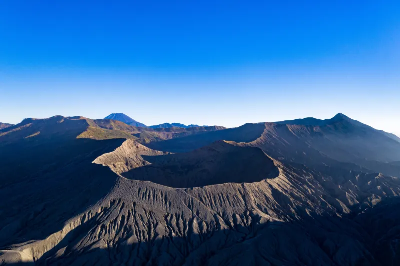
Small night hike to see the magnificent sunrise over 3 volcanoes (1h30, correct physical condition, otherwise possibility 4x4) then we go down into the sea of sand. Take-off possible close to the volcano, otherwise close to the edge of the caldera but then 2km away so efficient radio link required (type occusync 2). Active volcano so access is sometimes restricted by the authorities: get informed beforehand!
Local times at the spot (UTC+07:00). The golden hour, the warm, low light sought after for photos and videos, runs from sunrise until the sun reaches 6° above the horizon, and in the evening from 6° until sunset.
Le Tengger est une caldeira d'Indonésie située sur l'île de Java, dans la province de Java oriental. La dépression d'origine volcanique de seize kilomètres de diamètre contient plusieurs cônes volcaniques actifs dont le Bromo, le Batok et le Semeru (...)
Le Bromo est un volcan d'Indonésie, situé dans l'est de Java, à environ cent kilomètres au sud de Surabaya, dans le massif du Tengger. Il culmine à d'altitude et son cratère fait de diamètre et de profondeur. Les habitants de la région sont restés hindouistes (...)
Java oriental (en indonésien Jawa Timur) est une province d'Indonésie. Elle est bordée à l'ouest par la province de Java central, au nord par la mer de Java, à l'est par le détroit de Bali et au sud par l'océan Indien. Sa capitale est Surabaya. (...)
Le parc national de Bromo Tengger Semeru est situé dans l'est de l'île de Java en Indonésie. Il est constitué d'une région montagneuse dont le point culminant est le mont Semeru à 3 676 m, le plus haut sommet de Java. Le massif du Tengger et le mont Bromo font partie du parc (...)
Articles found by GeoNames from the spot's position.
Audience measurement
Drone-Spot, which shows no ads, would like to count its visits with Google Analytics (anonymous statistics) to improve the site. Do you agree?
Learn more


Reviews
Log in to review this spot. Log in · Create a free account
No reviews yet. Share yours!