Skip to content
Unusual

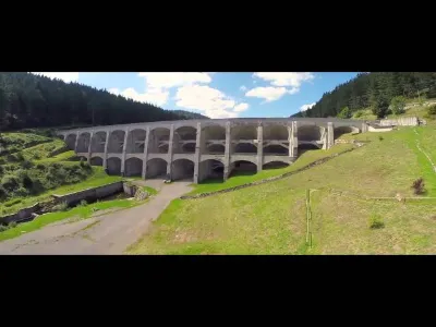
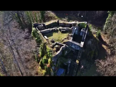
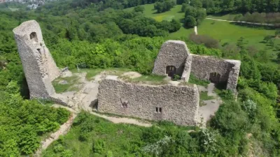
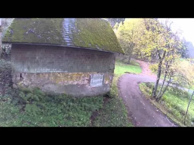
Abandoned buildings at Wolflochbach
Germany

The video is only loaded from YouTube (youtube-nocookie.com) when you start it.

No reviews yet

Have you flown here? Share your experience with other pilots.

+ Write the first review

Description

The abandoned outbuildings belonged to a farm that no longer existed, just below the 'Cold Hostel'. If you follow the narrow road, you reach the Hexenlochmühle (built: 1825), ei

Aviation weather (METAR and TAF)

EDTL – Lahr Airport · 49 km NW VFR

METAR

Observed 21/11 08:20 · 21 min ago

METAR EDTL 210720Z AUTO 00000KT 9999 // SCT010/// SCT027/// BKN060/// 06/06 Q1019

Wind
Calm
Visibility
10 km or more
Clouds
Scattered (3-4/8) at 1,000 ft (300 m) ; Scattered (3-4/8) at 2,700 ft (820 m) ; Broken (5-7/8) at 6,000 ft (1830 m)
Temperature
6 °C, dew point 6 °C
QNH
1019 hPa
Flight category
VFR: ceiling > 3,000 ft and visibility > 5 mi

TAF

This station does not issue a TAF (or none is currently valid).

METAR and TAF from NOAA (Aviation Weather Center), for guidance only: they do not replace flight planning with official sources (SIA, Météo-France). Nearest station that issues a METAR, not necessarily the nearest aerodrome.

Plan the light

Weather and Kp index

Loading forecast…

Sunrise and sunset

Local times at the spot (UTC+01:00). The golden hour, the warm, low light sought after for photos and videos, runs from sunrise until the sun reaches 6° above the horizon, and in the evening from 6° until sunset.

Day Dawn Sunrise Golden hour Sunset Dusk Day length
Sat 21 Nov07:08 07:42 07:42–08:32 · 15:54–16:44 16:44 17:189 h 01
Sun 22 Nov07:09 07:44 07:44–08:34 · 15:53–16:43 16:43 17:178 h 59
Mon 23 Nov07:11 07:45 07:45–08:35 · 15:52–16:42 16:42 17:178 h 56
Tue 24 Nov07:12 07:47 07:47–08:37 · 15:51–16:41 16:41 17:168 h 54
Wed 25 Nov07:13 07:48 07:48–08:39 · 15:50–16:40 16:40 17:158 h 52
Thu 26 Nov07:14 07:49 07:49–08:40 · 15:49–16:40 16:40 17:158 h 50
Fri 27 Nov07:16 07:51 07:51–08:42 · 15:48–16:39 16:39 17:148 h 48

Nearby on Wikipedia

  • Forêt-Noire · 4.2 km away

    La Forêt-Noire (en allemand Schwarzwald, prononcé) est un massif montagneux au sud-ouest de l'Allemagne, dans le land du Bade-Wurtemberg. Il résulte de l'effondrement du graben avorté du fossé rhénan, qu'emprunte en coulant vers le nord le Rhin, ici frontalier entre France et Allemagne (...)

  • Furtwangen im Schwarzwald · 5.6 km away

    Furtwangen im Schwarzwald est une ville allemande située dans la Forêt-Noire. Elle comptait habitants au . Le nord de la commune est traversé par la ligne de partage des eaux. En effet, deux rivières qui ont leurs sources distantes de 200 mètres l’une de l’autre alimentent deux fleuves différents : (...)

  • Université des sciences appliquées de Furtwangen · 5.7 km away

    L'Université des sciences appliquées de Furtwangen (' en allemand), formellement le ', est une université allemande basée à Furtwangen im Schwarzwald, en Baden-Württemberg. En 2005, elle comptait étudiants. Son programme d'administration des affaires internationales est particulièrement reconnu. (...)

  • Gütenbach · 6.3 km away

    Gütenbach est une commune de Bade-Wurtemberg (Allemagne), située dans l'arrondissement de Forêt-Noire-Baar, dans le district de Fribourg-en-Brisgau.

  • Faller (modélisme) · 6.3 km away

    Faller (nom complet Gebrüder Faller Gmbh) est une société allemande de création et fabrication de maquettes à différentes échelles (HO, N, Z) et éléments de décor pour réseau de modélisme ferroviaire, de modélisme militaire et de modélisme d'attraction foraines (...)

Articles found by GeoNames from the spot's position.

Nearby spots

Reviews

Log in to review this spot. Log in · Create a free account

No reviews yet. Share yours!

Connection to the site lost. Trying again…

The site is not responding. Trying again in seconds.

The site is no longer responding.

The site has been updated. Reloading the page…

This page has expired.

Resuming failed. Please reload the page.

The site is no longer responding.