

Mountain
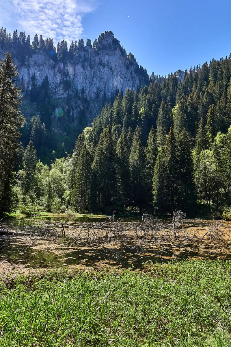
Lake Pététoz and source of the Brevon in the commune of Bellevaux
No reviews yet
Have you flown here? Share your experience with other pilots.
+ Write the first reviewDescription
Nice hike from the Chèvrerie ski lifts. The access to the lake is by a good path in 1H30 and 250m of D approximately.
Map and restricted areas
Open in the main mapNearby aerodromes
Open aerodromes within 25 km of the spot, heliports included, with their distance and direction from the spot. Near an aerodrome, drone flying is prohibited or height-limited: check the UAS zones map.
| Aerodrome | Type | Distance | Elevation | Difference |
|---|---|---|---|---|
| Remontées Mécaniques Heliport | Heliport | 5.0 km S | 1,504 m | spot 66 m lower |
| Altisurface de Morzine-Avoriaz | Aerodrome | 13 km E | 1,740 m | spot 302 m lower |
| Altiport du Col de Cenise | Aerodrome | 22 km SW | 1,724 m | spot 286 m lower |
| Flaine-Hiver Heliport | Heliport | 23 km S | 1,571 m | spot 133 m lower |
| Hôtel Royal Heliport | Heliport | 23 km N | 469 m | spot 968 m higher |
Aviation weather (METAR and TAF)
LSGG – Geneva Cointrin International Airport MVFR
METAR
METAR LSGG 211120Z AUTO VRB02KT 9999 BKN011 10/07 Q1021 NOSIG
- Wind
- Variable, 4 km/h
- Visibility
- 10 km or more
- Clouds
- Broken (5-7/8) at 1,100 ft (340 m)
- Temperature
- 10 °C, dew point 7 °C
- QNH
- 1021 hPa
- Flight category
- MVFR: ceiling 1,000–3,000 ft or visibility 3–5 mi
TAF
TAF LSGG 211125Z 2112/2218 VRB02KT 9999 FEW015 BKN050 TX12/2115Z TN04/2206Z TX09/2214Z BECMG 2202/2205 RA TEMPO 2203/2211 2500 BR BKN007 BECMG 2211/2213 22012KT TEMPO 2214/2218 22015G25KT
| Period (local time) | Change | Wind | Visibility | Weather | Clouds |
|---|---|---|---|---|---|
| 21/11 13:00 → 22/11 03:00 | Initial conditions | Variable, 4 km/h | 10 km or more | Few (1-2/8) at 1,500 ft (460 m) ; Broken (5-7/8) at 5,000 ft (1520 m) | |
| 22/11 03:00 → 22/11 12:00 | Becoming | Variable, 4 km/h | 10 km or more | Rain | Few (1-2/8) at 1,500 ft (460 m) ; Broken (5-7/8) at 5,000 ft (1520 m) |
| 22/11 04:00 → 22/11 12:00 | Temporarily | 2.5 km | Mist | Broken (5-7/8) at 700 ft (210 m) | |
| 22/11 12:00 → 22/11 19:00 | Becoming | 220°, 22 km/h | 10 km or more | Rain | Few (1-2/8) at 1,500 ft (460 m) ; Broken (5-7/8) at 5,000 ft (1520 m) |
| 22/11 15:00 → 22/11 19:00 | Temporarily | 220°, 28 km/h, gusts 46 km/h |
Weather and Kp index
Sunrise and sunset
| Day | Dawn | Sunrise | Golden hour | Sunset | Dusk | Day length |
|---|---|---|---|---|---|---|
| Sat 21 Nov | 07:10 | 07:43 | 07:43–08:30 · 16:09–16:56 | 16:56 | 17:29 | 9 h 13 |
| Sun 22 Nov | 07:11 | 07:44 | 07:44–08:32 · 16:08–16:55 | 16:55 | 17:28 | 9 h 11 |
| Mon 23 Nov | 07:12 | 07:46 | 07:46–08:33 · 16:07–16:54 | 16:54 | 17:28 | 9 h 08 |
| Tue 24 Nov | 07:14 | 07:47 | 07:47–08:35 · 16:06–16:54 | 16:54 | 17:27 | 9 h 06 |
| Wed 25 Nov | 07:15 | 07:48 | 07:48–08:36 · 16:05–16:53 | 16:53 | 17:26 | 9 h 04 |
| Thu 26 Nov | 07:16 | 07:49 | 07:49–08:38 · 16:04–16:52 | 16:52 | 17:26 | 9 h 02 |
| Fri 27 Nov | 07:17 | 07:51 | 07:51–08:39 · 16:03–16:52 | 16:52 | 17:25 | 9 h 00 |
Nearby on Wikipedia
Nearby spots
 Mountain
Vallon du Brevon, ridge overlooking the Grand Souvroz mountain pasture
 Mountain
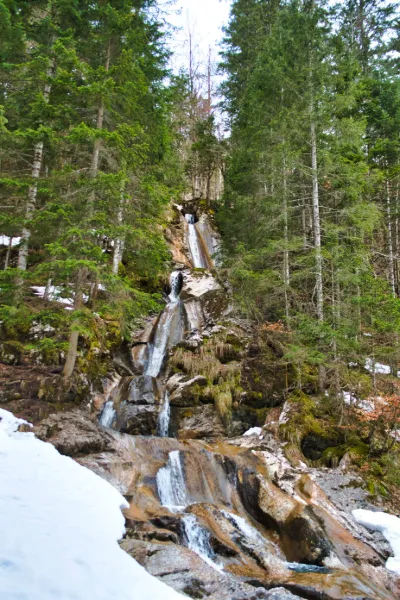
Cascade de la Diomaz , Lake of Vallon bellevaux
 Mountain
Lake Vallon and its chapel
 Water
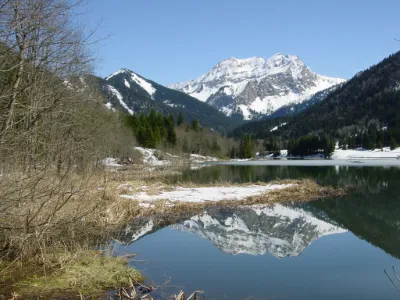
Lac de Bellevaux
 Water
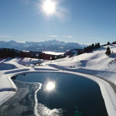
Col de La Ramaz
 Mountain
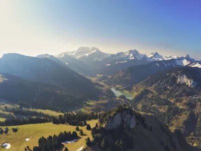
Rochers de la Mottaz, in the Brevon valley above the mountain pastures of Tré le saix in the commune of Bellevaux in Haute Savoie.
Reviews
Log in to review this spot. Log in · Create a free account
No reviews yet. Share yours!