

Observatory of the Tour Mérelle - Gérardmer
No reviews yet
Have you flown here? Share your experience with other pilots.
+ Write the first reviewDescription
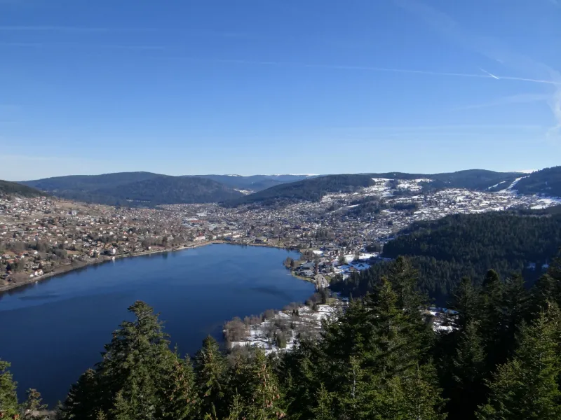
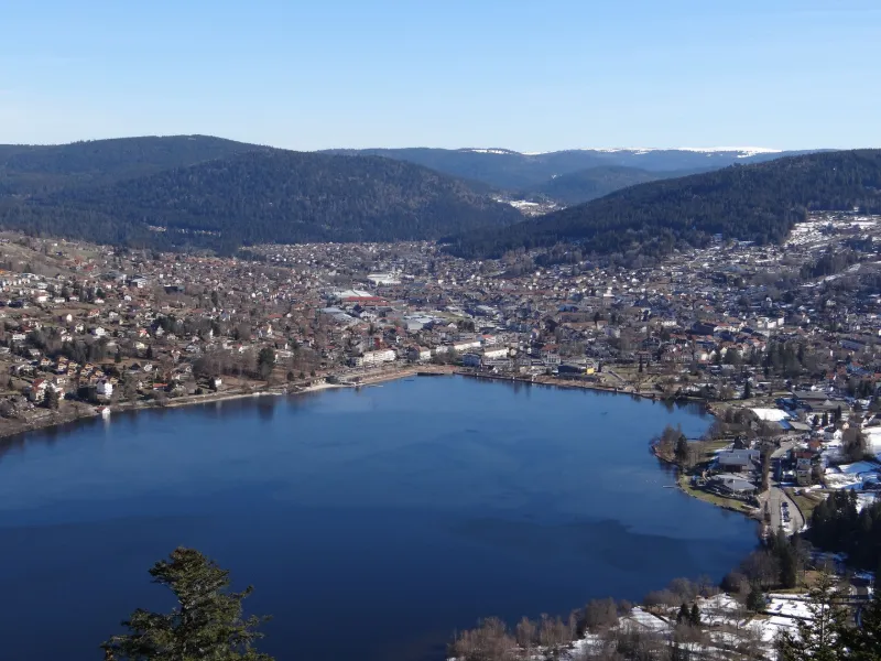
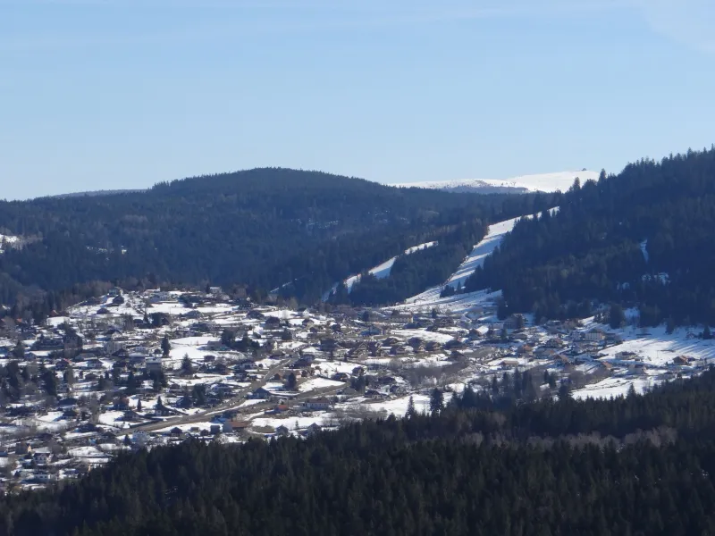
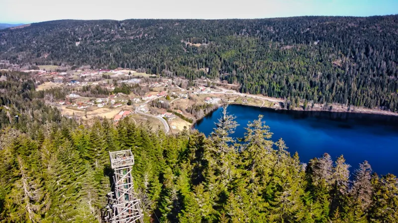
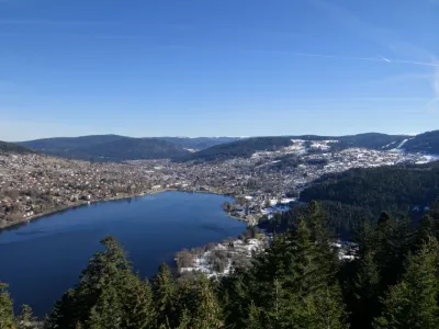
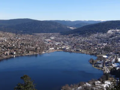
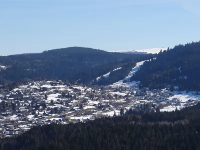
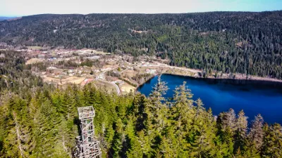
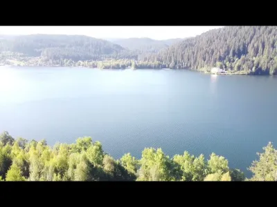
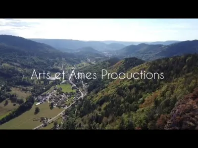
After an easy hike and a beautiful flight of stairs, you can reach the top of the Tour Mérelle. It is an ideal take-off platform to discover the lake of Gérardmer, its valley, the town and in the distance the ski slopes. This tower was built in 1964 by the Scouts de France at an altitude of 897m.
Attention altitude recently limited to 30 m. No interference found on the day of the flight, but be careful. The area is known to be very windy. To the west because of an antenna, you have a no-fly zone, but the valley opens in front of you on almost 270° and not far from 500 m before reaching the first houses. Above the lake, the flight is even free, but limited to 50 m of altitude. You will therefore be down below from your take-off platform.
If you push the hike a little, you can also see the Mérelle waterfall on the stream of the same name in the valley bottom.
Have a good flight!
Map and restricted areas
Open in the main mapNearby aerodromes
Open aerodromes within 25 km of the spot, heliports included, with their distance and direction from the spot. Near an aerodrome, drone flying is prohibited or height-limited: check the UAS zones map.
| Aerodrome | Type | Distance | Elevation | Difference |
|---|---|---|---|---|
| La Tête Des Champs Altiport | Aerodrome | 16 km S | 970 m | spot 96 m lower |
| Ramonchamp ULM | Aerodrome | 20 km S | 577 m | spot 297 m higher |
Aviation weather (METAR and TAF)
LFGA – Colmar-Houssen Airport MVFR
METAR
METAR LFGA 210930Z AUTO 03003KT 9999 FEW007 BKN014 OVC050 08/06 Q1020
- Wind
- 030°, 6 km/h
- Visibility
- 10 km or more
- Clouds
- Few (1-2/8) at 700 ft (210 m) ; Broken (5-7/8) at 1,400 ft (430 m) ; Overcast (8/8) at 5,000 ft (1520 m)
- Temperature
- 8 °C, dew point 6 °C
- QNH
- 1020 hPa
- Flight category
- MVFR: ceiling 1,000–3,000 ft or visibility 3–5 mi
TAF
Weather and Kp index
Sunrise and sunset
| Day | Dawn | Sunrise | Golden hour | Sunset | Dusk | Day length |
|---|---|---|---|---|---|---|
| Sat 21 Nov | 07:14 | 07:48 | 07:48–08:38 · 15:59–16:49 | 16:49 | 17:23 | 9 h 00 |
| Sun 22 Nov | 07:15 | 07:49 | 07:49–08:39 · 15:58–16:48 | 16:48 | 17:23 | 8 h 58 |
| Mon 23 Nov | 07:16 | 07:51 | 07:51–08:41 · 15:57–16:47 | 16:47 | 17:22 | 8 h 56 |
| Tue 24 Nov | 07:18 | 07:52 | 07:52–08:43 · 15:56–16:46 | 16:46 | 17:21 | 8 h 54 |
| Wed 25 Nov | 07:19 | 07:54 | 07:54–08:44 · 15:55–16:46 | 16:46 | 17:20 | 8 h 51 |
| Thu 26 Nov | 07:20 | 07:55 | 07:55–08:46 · 15:54–16:45 | 16:45 | 17:20 | 8 h 49 |
| Fri 27 Nov | 07:21 | 07:56 | 07:56–08:47 · 15:53–16:44 | 16:44 | 17:19 | 8 h 47 |
Reviews
Log in to review this spot. Log in · Create a free account
No reviews yet. Share yours!