

Water
Sainte-Pétronille, Quebec

No reviews yet
Have you flown here? Share your experience with other pilots.
+ Write the first reviewDescription
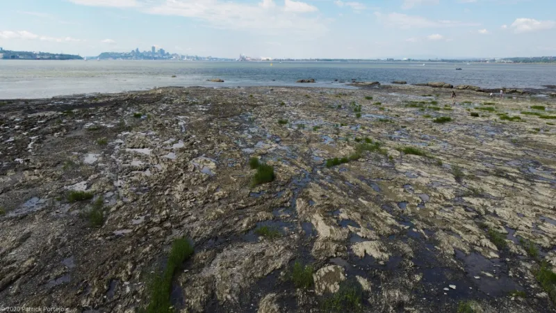
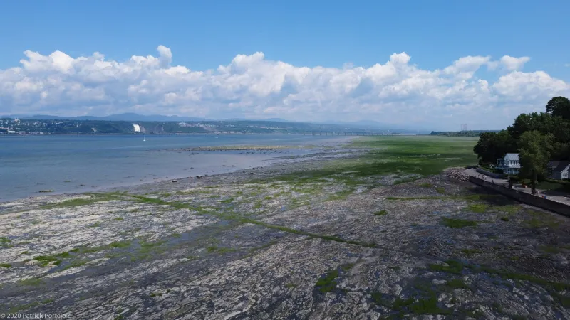
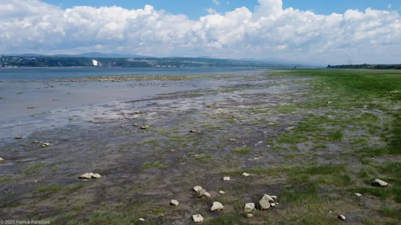
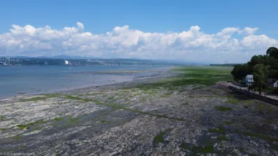
View of Quebec City at low tide from Sainte-Pétronille at the end of Île d'Orléans.
Possible spot for mini UAVs of less than 250g, otherwise at the end of an aerodrome area (Pintendre). There can be quite a lot of traffic so be careful. More interesting spot at low tide.
Map and restricted areas
Open in the main mapAviation weather (METAR and TAF)
CXBO ?
METAR
METAR CXBO 211200Z AUTO 22002KT 07/04 RMK AO1 T00720042
- Wind
- 220°, 4 km/h
- Visibility
- –
- Clouds
- –
- Temperature
- 7 °C, dew point 4 °C
- Flight category
- Unknown category
TAF
Weather and Kp index
Sunrise and sunset
| Day | Dawn | Sunrise | Golden hour | Sunset | Dusk | Day length |
|---|---|---|---|---|---|---|
| Sat 21 Nov | 06:23 | 06:56 | 06:56–07:44 · 15:17–16:05 | 16:05 | 16:38 | 9 h 08 |
| Sun 22 Nov | 06:24 | 06:58 | 06:58–07:46 · 15:16–16:04 | 16:04 | 16:37 | 9 h 06 |
| Mon 23 Nov | 06:25 | 06:59 | 06:59–07:47 · 15:15–16:03 | 16:03 | 16:37 | 9 h 04 |
| Tue 24 Nov | 06:26 | 07:00 | 07:00–07:49 · 15:14–16:02 | 16:02 | 16:36 | 9 h 02 |
| Wed 25 Nov | 06:28 | 07:02 | 07:02–07:50 · 15:13–16:02 | 16:02 | 16:35 | 8 h 59 |
| Thu 26 Nov | 06:29 | 07:03 | 07:03–07:52 · 15:12–16:01 | 16:01 | 16:35 | 8 h 57 |
| Fri 27 Nov | 06:30 | 07:04 | 07:04–07:53 · 15:11–16:00 | 16:00 | 16:34 | 8 h 56 |
Nearby on Wikipedia
Nearby spots
 Heritage
Domaine Orléans on Île d'Orléans.
 Heritage
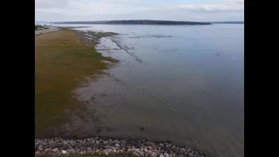
La Pointe (Saint Lawrence River) in Québec
 Heritage
"Saint-Grégoire-de-Montmorency" cemetery in Québec
 Unusual
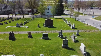
Cemetery: La Nativité-de-Notre-Dame (1er)
 Unusual
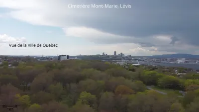
"Mont-Marie" cemetery in Lévis.
 Heritage
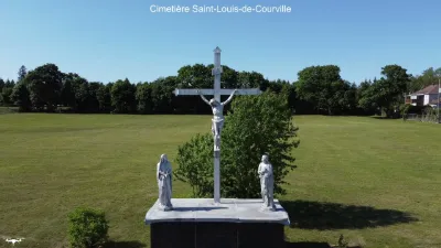
"Saint-Louis-de-Courville" cemetery in Québec.
Reviews
Log in to review this spot. Log in · Create a free account
No reviews yet. Share yours!