

Aosta Valley, la Thuile, hamlet of la Joux
No reviews yet
Have you flown here? Share your experience with other pilots.
+ Write the first reviewDescription
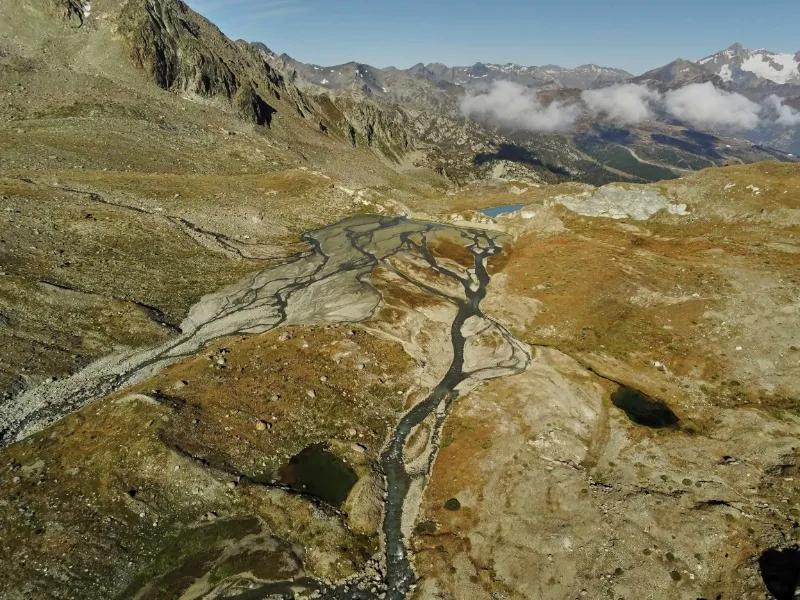
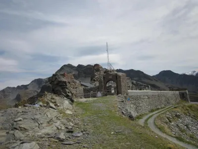
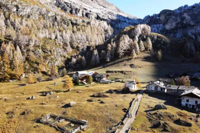
To get to the foot of the glacier you have to go up the valley along the Ruitor torrent with its 4 beautiful and imposing waterfalls. At the Deffeyes hut you enter a very mineral, rough and austere world, but how superb and exotic with very subjective views and panoramas. To avoid the crowds along the waterfalls, the return trip will take place if possible on the left bank of the torrent in a beautiful vegetation already in the colours of autumn, following the Sentiero del Centocinquantenario (Path of the Centocinquantenario).
Map and restricted areas
Open in the main mapAviation weather (METAR and TAF)
LIMW – Aosta Airport VFR
METAR
METAR LIMW 211120Z 24011KT 220V280 CAVOK 14/01 Q1018
- Wind
- 240°, 20 km/h
- Visibility
- 10 km or more
- Clouds
- –
- Temperature
- 14 °C, dew point 1 °C
- QNH
- 1018 hPa
- Flight category
- VFR: ceiling > 3,000 ft and visibility > 5 mi
TAF
TAF LIMW 211100Z 2112/2121 26009KT CAVOK
| Period (local time) | Change | Wind | Visibility | Weather | Clouds |
|---|---|---|---|---|---|
| 21/11 13:00 → 21/11 22:00 | Initial conditions | 260°, 17 km/h | 10 km or more | No significant weather | No significant cloud |
Weather and Kp index
Sunrise and sunset
| Day | Dawn | Sunrise | Golden hour | Sunset | Dusk | Day length |
|---|---|---|---|---|---|---|
| Sat 21 Nov | 07:07 | 07:40 | 07:40–08:26 · 16:10–16:56 | 16:56 | 17:29 | 9 h 16 |
| Sun 22 Nov | 07:08 | 07:41 | 07:41–08:28 · 16:09–16:55 | 16:55 | 17:28 | 9 h 14 |
| Mon 23 Nov | 07:09 | 07:42 | 07:42–08:29 · 16:08–16:55 | 16:55 | 17:27 | 9 h 12 |
| Tue 24 Nov | 07:11 | 07:44 | 07:44–08:31 · 16:07–16:54 | 16:54 | 17:27 | 9 h 10 |
| Wed 25 Nov | 07:12 | 07:45 | 07:45–08:32 · 16:06–16:53 | 16:53 | 17:26 | 9 h 08 |
| Thu 26 Nov | 07:13 | 07:46 | 07:46–08:34 · 16:05–16:52 | 16:52 | 17:26 | 9 h 06 |
| Fri 27 Nov | 07:14 | 07:47 | 07:47–08:35 · 16:04–16:52 | 16:52 | 17:25 | 9 h 04 |

Reviews
Log in to review this spot. Log in · Create a free account
No reviews yet. Share yours!