

Rock of the Castle
No reviews yet
Have you flown here? Share your experience with other pilots.
+ Write the first reviewDescription
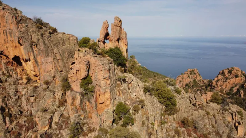
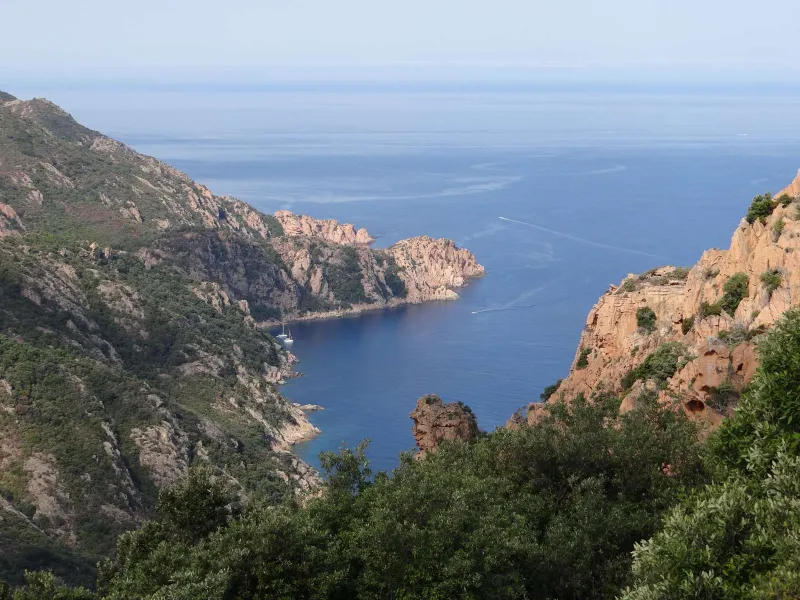
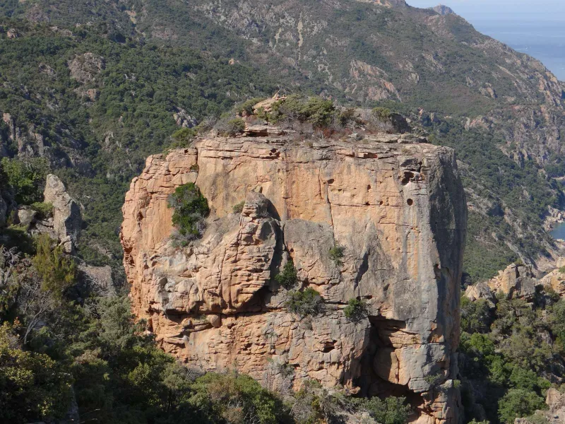
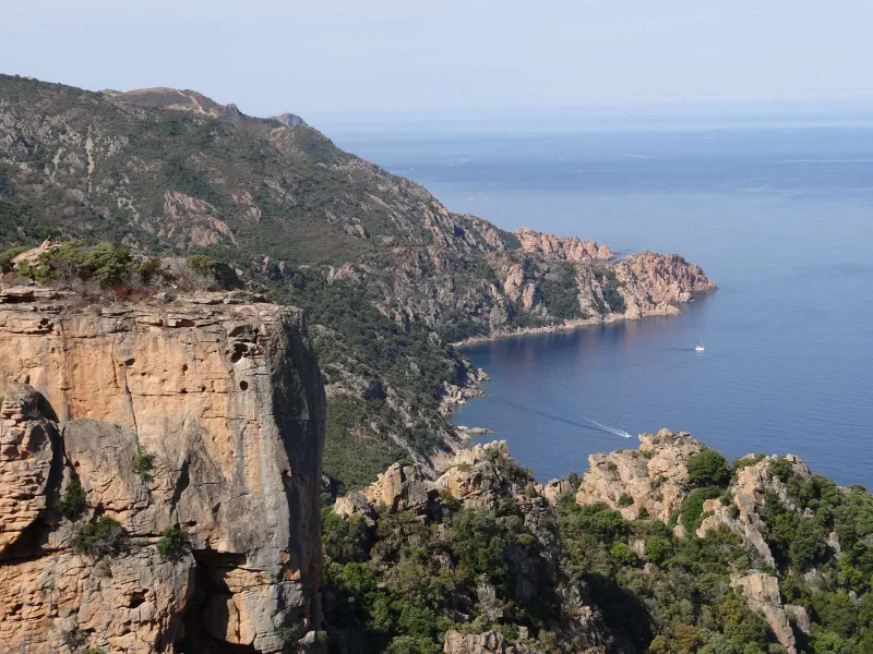
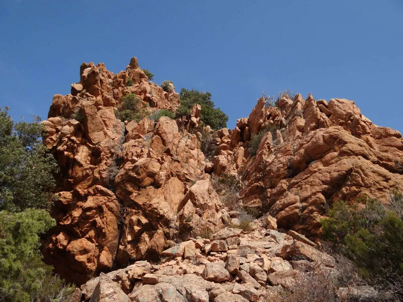
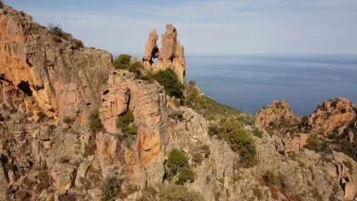
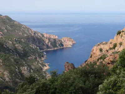
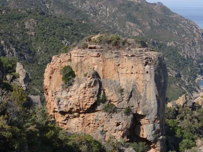
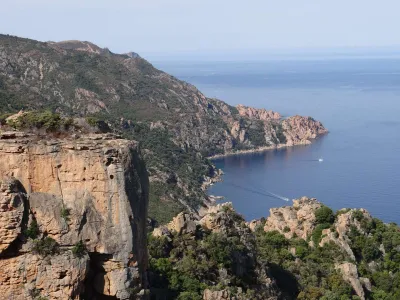
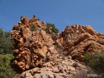
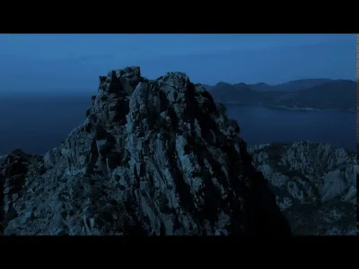
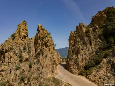
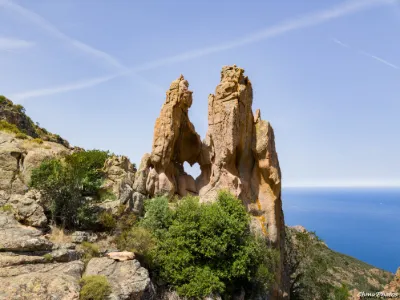
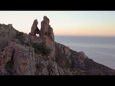
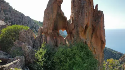
The take-off site is located on one of the three rocky platforms at the end of the hike from the Castle to Piana. This viewpoint offers an impressive panorama of the Gulf of Porto, the Scandola nature reserve, part of the Calanches of Piana and an access to the Heart of Piana cut into the rock.
Be sure to choose a calm day, as this mountainous and maritime site is full of turbulence and updrafts.
No interference was observed on the day of the flight, even though the Coeur de Piana site is beginning to be very busy for dronists. No NFZ nearby and free flight zone on nearly 1.5 km in diameter and 150 m in altitude. Be careful however not to fly over the numerous hikers and tourists that frequent the site.
Map and restricted areas
Open in the main mapNearby aerodromes
Open aerodromes within 25 km of the spot, heliports included, with their distance and direction from the spot. Near an aerodrome, drone flying is prohibited or height-limited: check the UAS zones map.
No known open aerodrome within 25 km.
Aviation weather (METAR and TAF)
LFKC – Calvi-Sainte-Catherine Airport VFR
METAR
METAR LFKC 210700Z AUTO 20017KT CAVOK 16/08 Q1018 BECMG 21015G25KT
- Wind
- 200°, 31 km/h
- Visibility
- 10 km or more
- Clouds
- –
- Temperature
- 16 °C, dew point 8 °C
- QNH
- 1018 hPa
- Flight category
- VFR: ceiling > 3,000 ft and visibility > 5 mi
TAF
TAF LFKC 210200Z 2103/2203 21015G25KT 9999 FEW040 TX20/2112Z TN15/2105Z
| Period (local time) | Change | Wind | Visibility | Weather | Clouds |
|---|---|---|---|---|---|
| 21/11 04:00 → 22/11 04:00 | Initial conditions | 210°, 28 km/h, gusts 46 km/h | 10 km or more | Few (1-2/8) at 4,000 ft (1220 m) |
Weather and Kp index
| Day | Weather | Temp. min. / max. | Wind | Rain | Max Kp |
|---|---|---|---|---|---|
| Sat 21 Nov | Partly cloudy | 12° / 15° | 33 km/h SW | 0.1 mm | 2 |
| Sun 22 Nov | Showers | 14° / 16° | 61 km/h W | 6.6 mm | 2 |
| Mon 23 Nov | Showers | 12° / 13° | 71 km/h W | 2.7 mm | 4 |
| Tue 24 Nov | Partly cloudy | 9° / 14° | 26 km/h S | – | 2 |
| Wed 25 Nov | Light rain | 11° / 14° | 20 km/h S | 8.3 mm | – |
| Thu 26 Nov | Light rain | 10° / 13° | 17 km/h SW | 6.0 mm | – |
| Fri 27 Nov | Partly cloudy | 9° / 12° | 28 km/h N | 2.7 mm | – |
Hour by hour: Saturday 21 November
| Time | Weather | Temp. | Wind | Rain | Clouds | Kp |
|---|---|---|---|---|---|---|
| 08:00 | Cloudy | 13° | 30 km/h SW | – | 99 % | 2 |
| 09:00 | Cloudy | 14° | 32 km/h SW | – | 98 % | 2 |
| 10:00 | Partly cloudy | 14° | 33 km/h SW | – | 81 % | 2 |
| 11:00 | Partly cloudy | 14° | 33 km/h SW | – | 64 % | 2 |
| 12:00 | Partly cloudy | 15° | 31 km/h SW | – | 52 % | 2 |
| 13:00 | Partly cloudy | 15° | 31 km/h SW | – | 41 % | 1 |
| 14:00 | Showers | 14° | 31 km/h SW | 0.1 mm | 41 % | 1 |
| 15:00 | Fair | 14° | 30 km/h SW | – | 37 % | 1 |
| 16:00 | Fair | 14° | 30 km/h SW | – | 37 % | 2 |
| 17:00 | Partly cloudy | 14° | 26 km/h SW | – | 58 % | 2 |
| 18:00 | Partly cloudy | 14° | 25 km/h S | – | 49 % | 2 |
| 19:00 | Fair | 14° | 24 km/h S | – | 37 % | 2 |
| 20:00 | Fair | 13° | 23 km/h S | – | 38 % | 2 |
| 21:00 | Fair | 12° | 24 km/h SE | – | 23 % | 2 |
| 22:00 | Partly cloudy | 12° | 23 km/h SE | – | 69 % | 2 |
Hour by hour: Sunday 22 November
| Time | Weather | Temp. | Wind | Rain | Clouds | Kp |
|---|---|---|---|---|---|---|
| 06:00 | Cloudy | 15° | 35 km/h SE | – | 94 % | 2 |
| 07:00 | Cloudy | 15° | 37 km/h SE | – | 96 % | 2 |
| 08:00 | Partly cloudy | 15° | 42 km/h SE | – | 74 % | 2 |
| 09:00 | Cloudy | 15° | 43 km/h SE | – | 89 % | 2 |
| 10:00 | Heavy rain | 16° | 44 km/h SE | 1.1 mm | 96 % | 2 |
| 11:00 | Heavy rain | 14° | 42 km/h S | 2.3 mm | 94 % | 2 |
| 12:00 | Heavy rain | 14° | 34 km/h S | 2.7 mm | 88 % | 2 |
| 13:00 | Showers | 15° | 40 km/h W | 0.4 mm | 80 % | 2 |
| 14:00 | Partly cloudy | 15° | 42 km/h W | – | 61 % | 2 |
| 15:00 | Partly cloudy | 15° | 47 km/h W | – | 63 % | 2 |
| 16:00 | Clear sky | 14° | 45 km/h W | – | 2 % | 2 |
| 17:00 | Showers | 14° | 48 km/h W | 0.1 mm | 2 % | 2 |
| 18:00 | Clear sky | 14° | 54 km/h W | – | 8 % | 2 |
| 19:00 | Clear sky | 14° | 56 km/h W | – | 6 % | 2 |
| 20:00 | Clear sky | 14° | 55 km/h W | – | 5 % | 2 |
| 21:00 | Clear sky | 14° | 57 km/h W | – | 2 % | 2 |
| 22:00 | Clear sky | 14° | 61 km/h W | – | 1 % | 2 |
Sunrise and sunset
| Day | Dawn | Sunrise | Golden hour | Sunset | Dusk | Day length |
|---|---|---|---|---|---|---|
| Sat 21 Nov | 06:53 | 07:23 | 07:23–08:06 · 16:16–16:59 | 16:59 | 17:30 | 9 h 36 |
| Sun 22 Nov | 06:54 | 07:24 | 07:24–08:07 · 16:16–16:59 | 16:59 | 17:29 | 9 h 34 |
| Mon 23 Nov | 06:55 | 07:26 | 07:26–08:09 · 16:15–16:58 | 16:58 | 17:29 | 9 h 32 |
| Tue 24 Nov | 06:56 | 07:27 | 07:27–08:10 · 16:14–16:57 | 16:57 | 17:28 | 9 h 30 |
| Wed 25 Nov | 06:57 | 07:28 | 07:28–08:11 · 16:13–16:57 | 16:57 | 17:28 | 9 h 29 |
| Thu 26 Nov | 06:58 | 07:29 | 07:29–08:13 · 16:13–16:56 | 16:56 | 17:27 | 9 h 27 |
| Fri 27 Nov | 06:59 | 07:30 | 07:30–08:14 · 16:12–16:56 | 16:56 | 17:27 | 9 h 25 |
Reviews
Log in to review this spot. Log in · Create a free account
No reviews yet. Share yours!