

Filitosa - Prehistoric Site
No reviews yet
Have you flown here? Share your experience with other pilots.
+ Write the first reviewDescription
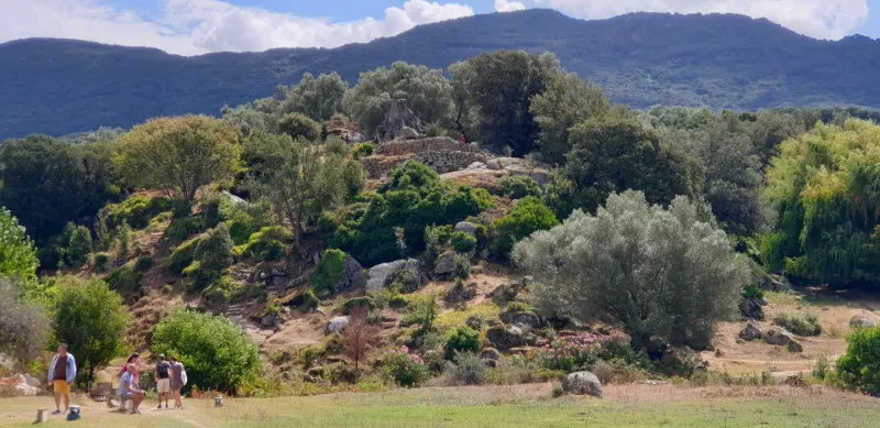
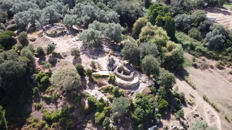
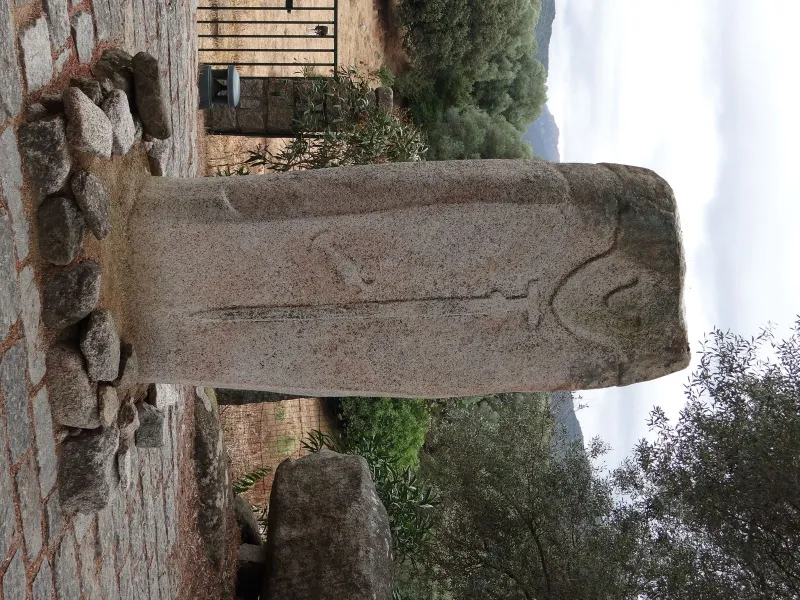
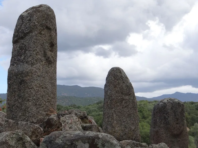
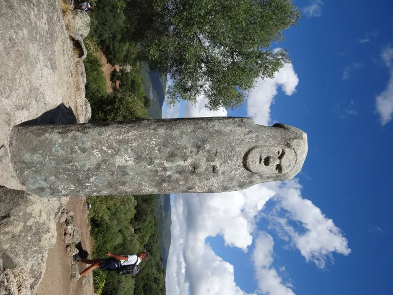
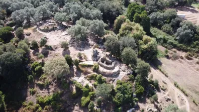
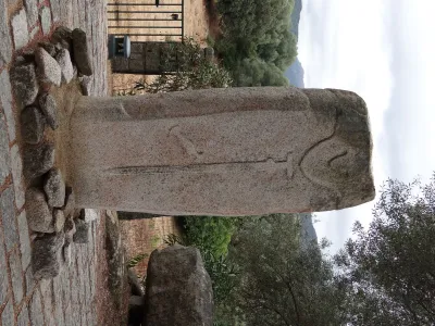
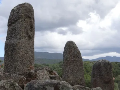
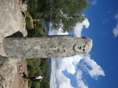
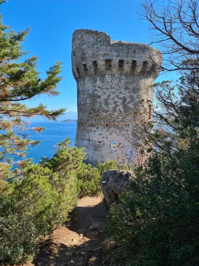
The prehistoric site occupies a spur that has been blocked by an enclosure of large granite blocks. The site, consisting of a fortified and cult area and a nearby quarry, has produced some of the most beautiful ceramics, stone millstones and menhir statues in Corsica. The vestiges of several civilizations are superimposed and mixed there from the Neolithic period, around 3000 BC. Megalithic remains from 3,000 to 2,000 years before our era are recognizable in the form of menhirs and the "Torréen" habitat.
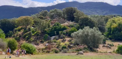
The take-off site is located in one of the meadows near the valley between the megalithic quarry and the main archaeological site. It is possible to fly while avoiding the overflight of tourists and the village while staying below 100 m of altitude. No interference found on the day of the flight.
Have a good flight!
Map and restricted areas
Open in the main mapNearby aerodromes
Open aerodromes within 25 km of the spot, heliports included, with their distance and direction from the spot. Near an aerodrome, drone flying is prohibited or height-limited: check the UAS zones map.
| Aerodrome | Type | Distance | Elevation | Difference |
|---|---|---|---|---|
| Propriano Airport | Aerodrome | 9.9 km S | 4 m | spot 41 m higher |
| Ajaccio-Napoléon Bonaparte Airport | Airport | 20 km N | 5 m | spot 39 m higher |
Aviation weather (METAR and TAF)
LFKJ – Ajaccio-Napoléon Bonaparte Airport VFR
METAR
METAR LFKJ 210900Z AUTO 05003KT 360V090 9999 SCT033 SCT041 BKN054 16/12 Q1021 BECMG 24010KT
- Wind
- 050°, 6 km/h
- Visibility
- 10 km or more
- Clouds
- Scattered (3-4/8) at 3,300 ft (1010 m) ; Scattered (3-4/8) at 4,100 ft (1250 m) ; Broken (5-7/8) at 5,400 ft (1650 m)
- Temperature
- 16 °C, dew point 12 °C
- QNH
- 1021 hPa
- Flight category
- VFR: ceiling > 3,000 ft and visibility > 5 mi
TAF
TAF LFKJ 210800Z 2109/2209 06004KT 9999 BKN035 BECMG 2110/2112 24010KT BECMG 2116/2118 05005KT
| Period (local time) | Change | Wind | Visibility | Weather | Clouds |
|---|---|---|---|---|---|
| 21/11 10:00 → 21/11 11:00 | Initial conditions | 060°, 7 km/h | 10 km or more | Broken (5-7/8) at 3,500 ft (1070 m) | |
| 21/11 11:00 → 21/11 17:00 | Becoming | 240°, 19 km/h | 10 km or more | Broken (5-7/8) at 3,500 ft (1070 m) | |
| 21/11 17:00 → 22/11 10:00 | Becoming | 050°, 9 km/h | 10 km or more | Broken (5-7/8) at 3,500 ft (1070 m) |
Weather and Kp index
Sunrise and sunset
| Day | Dawn | Sunrise | Golden hour | Sunset | Dusk | Day length |
|---|---|---|---|---|---|---|
| Sat 21 Nov | 06:51 | 07:21 | 07:21–08:03 · 16:17–17:00 | 17:00 | 17:30 | 9 h 38 |
| Sun 22 Nov | 06:52 | 07:22 | 07:22–08:05 · 16:17–16:59 | 16:59 | 17:29 | 9 h 37 |
| Mon 23 Nov | 06:53 | 07:23 | 07:23–08:06 · 16:16–16:59 | 16:59 | 17:29 | 9 h 35 |
| Tue 24 Nov | 06:54 | 07:24 | 07:24–08:07 · 16:15–16:58 | 16:58 | 17:28 | 9 h 33 |
| Wed 25 Nov | 06:55 | 07:26 | 07:26–08:09 · 16:14–16:57 | 16:57 | 17:28 | 9 h 31 |
| Thu 26 Nov | 06:56 | 07:27 | 07:27–08:10 · 16:14–16:57 | 16:57 | 17:27 | 9 h 30 |
| Fri 27 Nov | 06:57 | 07:28 | 07:28–08:11 · 16:13–16:56 | 16:56 | 17:27 | 9 h 28 |



Reviews
Log in to review this spot. Log in · Create a free account
No reviews yet. Share yours!