

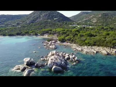
Bay of Porto Vecchio from Cala Rossa


No reviews yet
Have you flown here? Share your experience with other pilots.
+ Write the first reviewDescription
Flight with a DJI Mavic Mini
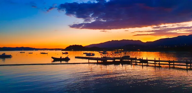
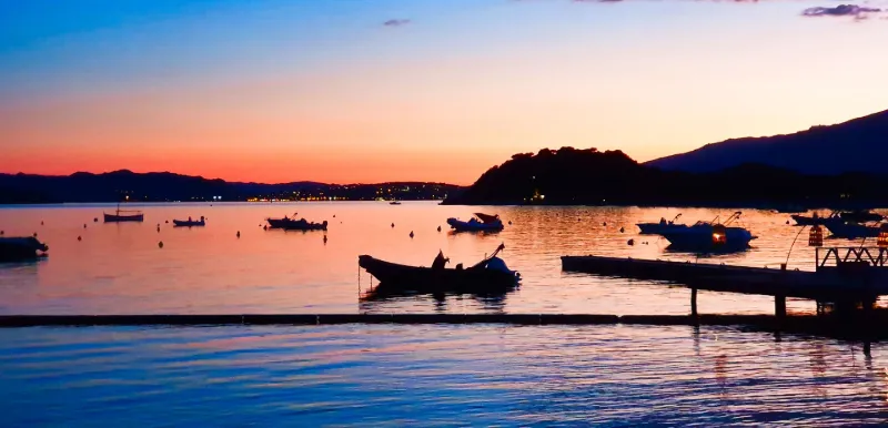
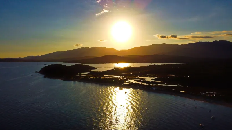
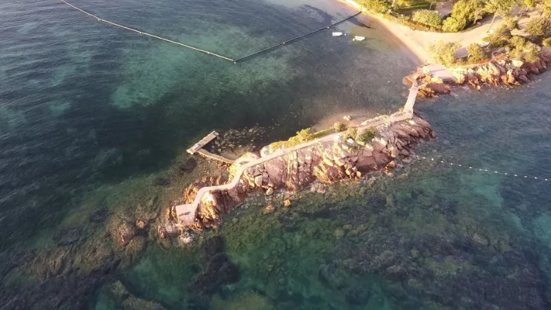
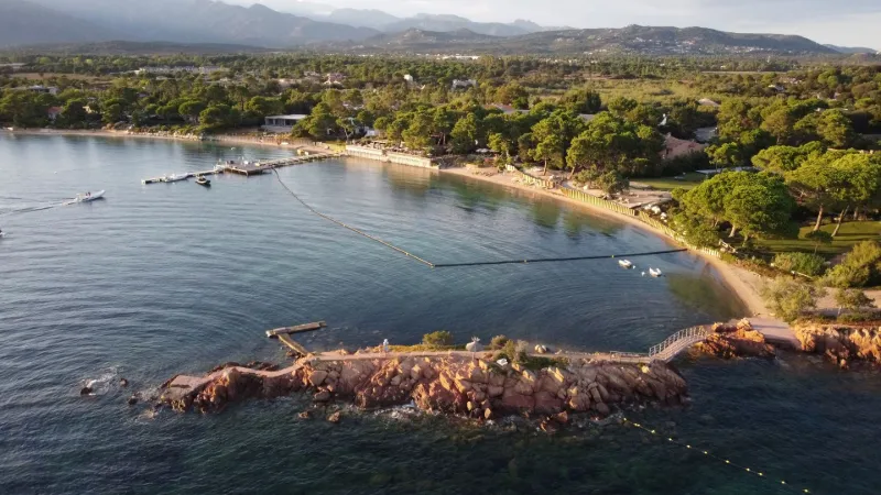
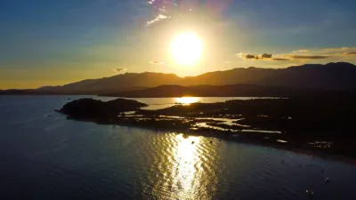
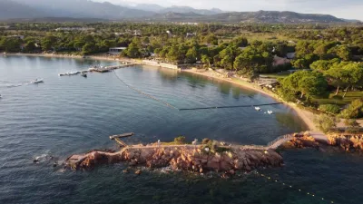
The bay of "Cala Rossa" lives up to its name, the Corsican for "red beach", at sunset during the golden hour, when the rocks and sand take on almost unreal colors.
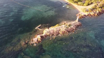
The takeoff site is at the end of the rocky peninsula and allows a free flight over the reefs and the bay of Porto-Vecchio, taking care, of course, not to fly over any boaters still out at that hour, nor over the villas and hotels.
The panorama over the bay of Porto-Vecchio becomes impressive at the end of the day, with the Chiappa point, Pavellone and Porto-Vecchio opposite, and from the Benedettu point to the San Ciprianu point on the same shore. The bay of Stagnolu and its marshes are hidden behind the Benedettu point, while the three lighthouses are visible at the mouth of the bay: the Saint-Cyprien light, the Pecorella tower on the barely emerging rocks at the entrance, and the Chiappa lighthouse.
The flight zone opens toward the sea over a little more than 180°, with a radius of more than 1 km. No interference noticed on the day of the flight. Altitude limited to 150 m.
Happy flying!
Map and restricted areas
Open in the main mapNearby aerodromes
Open aerodromes within 25 km of the spot, heliports included, with their distance and direction from the spot. Near an aerodrome, drone flying is prohibited or height-limited: check the UAS zones map.
| Aerodrome | Type | Distance | Elevation |
|---|---|---|---|
| Helisudcorse | Heliport | 6.8 km SW | 4 m |
| Figari Sud-Corse Airport | Airport | 24 km SW | 26 m |
Aviation weather (METAR and TAF)
LFKF – Figari Sud-Corse Airport VFR
METAR
METAR LFKF 210930Z AUTO 27015KT 9999 BKN032 BKN047 BKN056 17/11 Q1020 TEMPO 27015G25KT
- Wind
- 270°, 28 km/h
- Visibility
- 10 km or more
- Clouds
- Broken (5-7/8) at 3,200 ft (980 m) ; Broken (5-7/8) at 4,700 ft (1430 m) ; Broken (5-7/8) at 5,600 ft (1710 m)
- Temperature
- 17 °C, dew point 11 °C
- QNH
- 1020 hPa
- Flight category
- VFR: ceiling > 3,000 ft and visibility > 5 mi
TAF
TAF LFKF 210800Z 2109/2209 26013KT 9999 FEW035 TEMPO 2110/2115 27015G25KT BECMG 2119/2121 VRB03KT
| Period (local time) | Change | Wind | Visibility | Weather | Clouds |
|---|---|---|---|---|---|
| 21/11 10:00 → 21/11 20:00 | Initial conditions | 260°, 24 km/h | 10 km or more | Few (1-2/8) at 3,500 ft (1070 m) | |
| 21/11 11:00 → 21/11 16:00 | Temporarily | 270°, 28 km/h, gusts 46 km/h | |||
| 21/11 20:00 → 22/11 10:00 | Becoming | Variable, 6 km/h | 10 km or more | Few (1-2/8) at 3,500 ft (1070 m) |
Weather and Kp index
Sunrise and sunset
| Day | Dawn | Sunrise | Golden hour | Sunset | Dusk | Day length |
|---|---|---|---|---|---|---|
| Sat 21 Nov | 06:49 | 07:19 | 07:19–08:01 · 16:16–16:58 | 16:58 | 17:28 | 9 h 39 |
| Sun 22 Nov | 06:50 | 07:20 | 07:20–08:02 · 16:15–16:58 | 16:58 | 17:28 | 9 h 37 |
| Mon 23 Nov | 06:51 | 07:21 | 07:21–08:04 · 16:14–16:57 | 16:57 | 17:27 | 9 h 35 |
| Tue 24 Nov | 06:52 | 07:22 | 07:22–08:05 · 16:14–16:56 | 16:56 | 17:27 | 9 h 34 |
| Wed 25 Nov | 06:53 | 07:23 | 07:23–08:06 · 16:13–16:56 | 16:56 | 17:26 | 9 h 32 |
| Thu 26 Nov | 06:54 | 07:24 | 07:24–08:07 · 16:12–16:55 | 16:55 | 17:26 | 9 h 30 |
| Fri 27 Nov | 06:55 | 07:26 | 07:26–08:09 · 16:12–16:55 | 16:55 | 17:25 | 9 h 29 |



Reviews
Log in to review this spot. Log in · Create a free account
No reviews yet. Share yours!