

Water
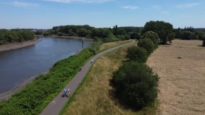
Eglegemvijver pond/lake
No reviews yet
Have you flown here? Share your experience with other pilots.
+ Write the first reviewDescription
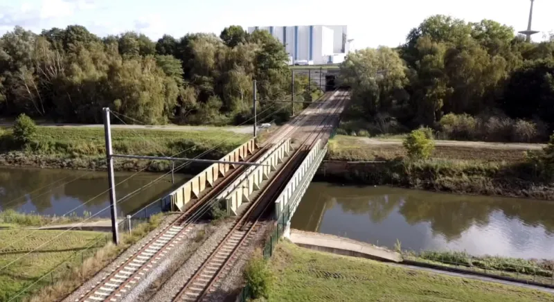
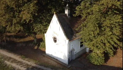
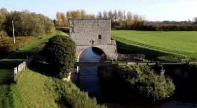
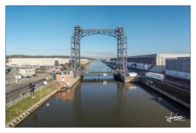
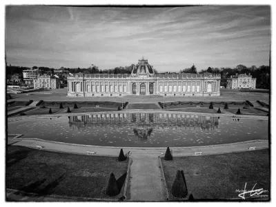
Great place to shoot aerial photo of passing trains, autos, joggers, boats. Interesting iron bridges and passage ways.
Map and restricted areas
Open in the main mapAviation weather (METAR and TAF)
EBBR – Brussels Airport VFR
METAR
METAR EBBR 210720Z 20008KT CAVOK 02/01 Q1018 NOSIG
- Wind
- 200°, 15 km/h
- Visibility
- 10 km or more
- Clouds
- –
- Temperature
- 2 °C, dew point 1 °C
- QNH
- 1018 hPa
- Flight category
- VFR: ceiling > 3,000 ft and visibility > 5 mi
TAF
TAF EBBR 210500Z 2106/2212 23005KT 9999 FEW045 PROB30 2204/2207 4500 BR
| Period (local time) | Change | Wind | Visibility | Weather | Clouds |
|---|---|---|---|---|---|
| 21/11 07:00 → 22/11 13:00 | Initial conditions | 230°, 9 km/h | 10 km or more | Few (1-2/8) at 4,500 ft (1370 m) | |
| 22/11 05:00 → 22/11 08:00 | probability 30% | 4.5 km | Mist |
Weather and Kp index
Sunrise and sunset
| Day | Dawn | Sunrise | Golden hour | Sunset | Dusk | Day length |
|---|---|---|---|---|---|---|
| Sat 21 Nov | 07:31 | 08:08 | 08:08–09:03 · 15:53–16:48 | 16:48 | 17:25 | 8 h 39 |
| Sun 22 Nov | 07:33 | 08:10 | 08:10–09:05 · 15:52–16:47 | 16:47 | 17:24 | 8 h 36 |
| Mon 23 Nov | 07:34 | 08:12 | 08:12–09:07 · 15:50–16:46 | 16:46 | 17:23 | 8 h 34 |
| Tue 24 Nov | 07:36 | 08:13 | 08:13–09:09 · 15:49–16:45 | 16:45 | 17:22 | 8 h 31 |
| Wed 25 Nov | 07:37 | 08:15 | 08:15–09:10 · 15:48–16:44 | 16:44 | 17:21 | 8 h 29 |
| Thu 26 Nov | 07:38 | 08:16 | 08:16–09:12 · 15:47–16:43 | 16:43 | 17:21 | 8 h 26 |
| Fri 27 Nov | 07:40 | 08:18 | 08:18–09:14 · 15:46–16:42 | 16:42 | 17:20 | 8 h 24 |
Reviews
Log in to review this spot. Log in · Create a free account
No reviews yet. Share yours!