

Heritage
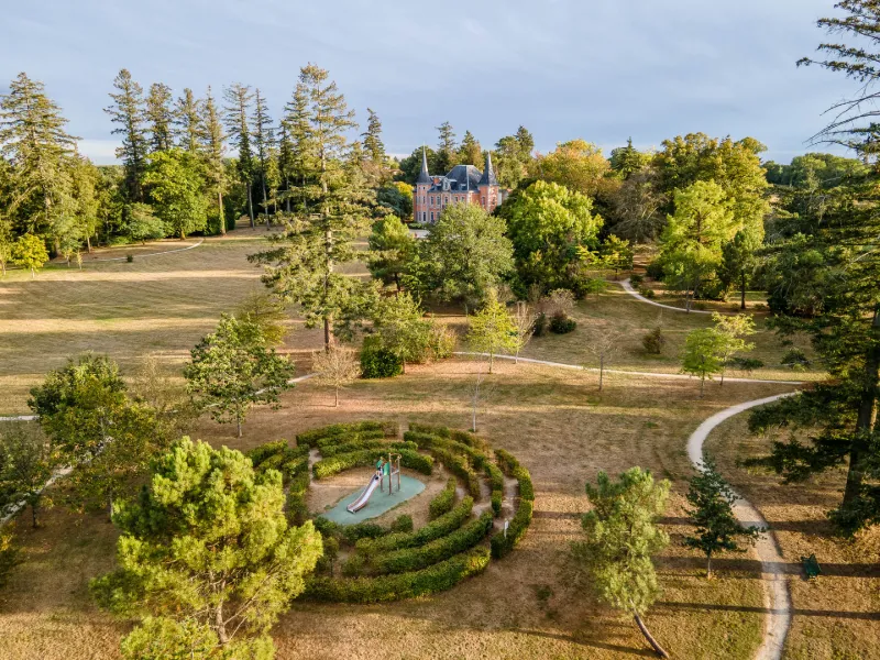
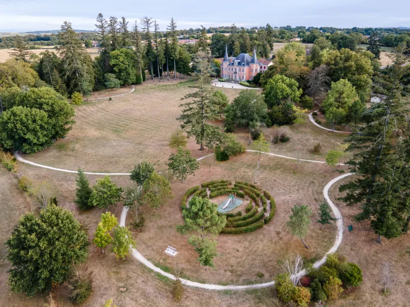
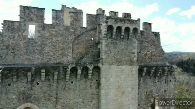
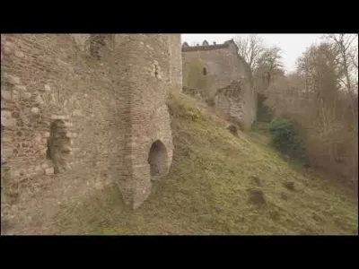
Parc du Boucheron Marie and Château de Bosmie l'aiguille
1 pilot review
“Très bon spot en effet, il faut faire attention au monde” — Mi_Prod, 5 years ago
Read the reviews + Write my reviewDescription
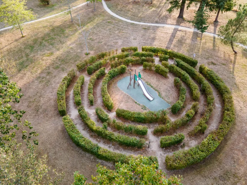
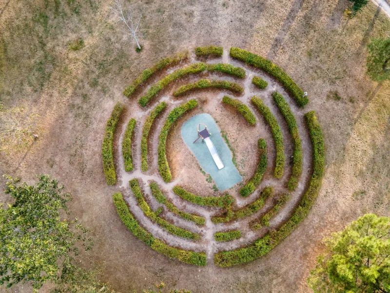
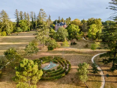
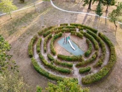
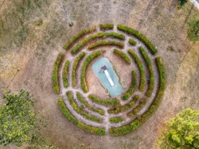
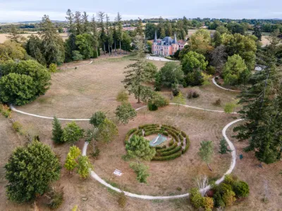
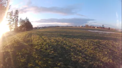
The park, the maze and the Château de Bosmie l'aiguille make for a great playground. Caution: flying over the entire park is not permitted.
Map and restricted areas
Open in the main mapNearby aerodromes
Open aerodromes within 25 km of the spot, heliports included, with their distance and direction from the spot. Near an aerodrome, drone flying is prohibited or height-limited: check the UAS zones map.
| Aerodrome | Type | Distance | Elevation | Difference |
|---|---|---|---|---|
| Centre Hospitalier Heliport | Heliport | 5.2 km N | 274 m | spot 41 m higher |
| Limoges Airport | Airport | 11 km N | 396 m | spot 81 m lower |
Aviation weather (METAR and TAF)
LFBL – Limoges Airport LIFR
METAR
METAR LFBL 211030Z AUTO 13007KT 100V170 9999 OVC003 09/09 Q1018 BECMG NSC
- Wind
- 130°, 13 km/h
- Visibility
- 10 km or more
- Clouds
- Overcast (8/8) at 300 ft (90 m)
- Temperature
- 9 °C, dew point 9 °C
- QNH
- 1018 hPa
- Flight category
- LIFR: ceiling < 500 ft or visibility < 1 mi
TAF
TAF AMD LFBL 211021Z 2110/2206 14010KT 9999 BKN002 BECMG 2111/2114 CAVOK TEMPO 2120/2122 4000 -RA BKN040 TEMPO 2122/2206 3000 RADZ BKN008 PROB40 TEMPO 2201/2205 1500 RADZ BKN002
| Period (local time) | Change | Wind | Visibility | Weather | Clouds |
|---|---|---|---|---|---|
| 21/11 11:00 → 21/11 12:00 | Initial conditions | 140°, 19 km/h | 10 km or more | Broken (5-7/8) at 200 ft (60 m) | |
| 21/11 12:00 → 22/11 07:00 | Becoming | 140°, 19 km/h | 10 km or more | No significant weather | No significant cloud |
| 21/11 21:00 → 21/11 23:00 | Temporarily | 4.0 km | Rain light | Broken (5-7/8) at 4,000 ft (1220 m) | |
| 21/11 23:00 → 22/11 07:00 | Temporarily | 3.0 km | Rain ; drizzle | Broken (5-7/8) at 800 ft (240 m) | |
| 22/11 02:00 → 22/11 06:00 | Temporarily, probability 40% | 1.5 km | Rain ; drizzle | Broken (5-7/8) at 200 ft (60 m) |
Weather and Kp index
Sunrise and sunset
| Day | Dawn | Sunrise | Golden hour | Sunset | Dusk | Day length |
|---|---|---|---|---|---|---|
| Sat 21 Nov | 07:30 | 08:03 | 08:03–08:50 · 16:32–17:19 | 17:19 | 17:52 | 9 h 15 |
| Sun 22 Nov | 07:32 | 08:04 | 08:04–08:51 · 16:31–17:18 | 17:18 | 17:51 | 9 h 13 |
| Mon 23 Nov | 07:33 | 08:06 | 08:06–08:53 · 16:30–17:17 | 17:17 | 17:50 | 9 h 11 |
| Tue 24 Nov | 07:34 | 08:07 | 08:07–08:54 · 16:29–17:17 | 17:17 | 17:50 | 9 h 09 |
| Wed 25 Nov | 07:35 | 08:08 | 08:08–08:56 · 16:29–17:16 | 17:16 | 17:49 | 9 h 07 |
| Thu 26 Nov | 07:36 | 08:10 | 08:10–08:57 · 16:28–17:15 | 17:15 | 17:48 | 9 h 05 |
| Fri 27 Nov | 07:38 | 08:11 | 08:11–08:59 · 16:27–17:15 | 17:15 | 17:48 | 9 h 03 |


Reviews
Log in to review this spot. Log in · Create a free account
Mi_Prod
Très bon spot en effet, il faut faire attention au monde