

Water
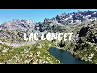
Lac Longet
No reviews yet
Have you flown here? Share your experience with other pilots.
+ Write the first reviewDescription
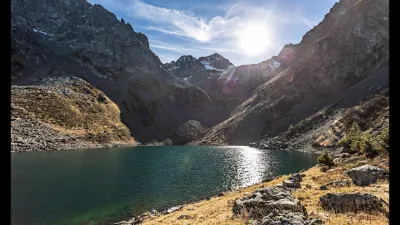
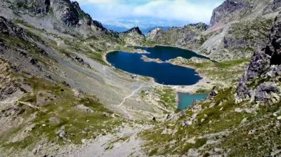
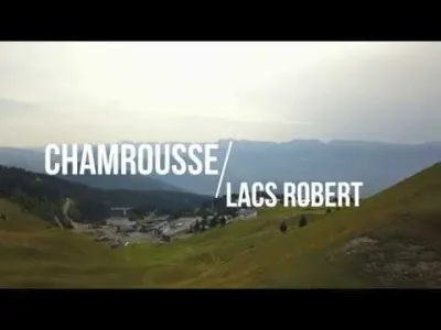
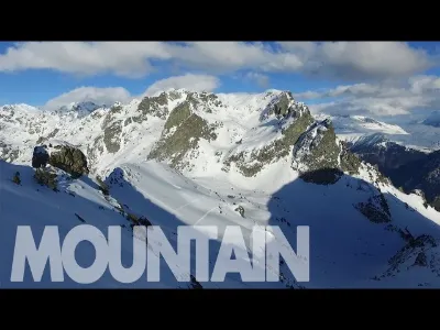
Lac Longet is a large lake accessible on foot from the top of the Croix de Chamrousse (between 4 and 6 hours) Along the way, there are several lakes: Lac Léama, Lacs Robet...
Map and restricted areas
Open in the main mapNearby aerodromes
Open aerodromes within 25 km of the spot, heliports included, with their distance and direction from the spot. Near an aerodrome, drone flying is prohibited or height-limited: check the UAS zones map.
| Aerodrome | Type | Distance | Elevation | Difference |
|---|---|---|---|---|
| Altiport du Col De Belledonne | Aerodrome | 4.3 km E | 2,800 m | spot 772 m lower |
| Aérodrome de Grenoble Le Versoud | Aerodrome | 10 km NW | 220 m | spot 1,807 m higher |
| Altiport L'Alpe d'Huez - Henri GIRAUD | Aerodrome | 14 km SE | 1,860 m | spot 168 m higher |
| Altisurface du Glacier de la Barbaratre | Aerodrome | 16 km E | 3,008 m | spot 981 m lower |
| Hôpital Nord Heliport | Heliport | 16 km W | 218 m | spot 1,809 m higher |
Aviation weather (METAR and TAF)
No METAR station within 50 km.
Weather and Kp index
Sunrise and sunset
| Day | Dawn | Sunrise | Golden hour | Sunset | Dusk | Day length |
|---|---|---|---|---|---|---|
| Sun 22 Nov | 07:11 | 07:44 | 07:44–08:30 · 16:15–17:01 | 17:01 | 17:33 | 9 h 17 |
| Mon 23 Nov | 07:12 | 07:45 | 07:45–08:31 · 16:14–17:00 | 17:00 | 17:33 | 9 h 15 |
| Tue 24 Nov | 07:14 | 07:46 | 07:46–08:33 · 16:13–17:00 | 17:00 | 17:32 | 9 h 13 |
| Wed 25 Nov | 07:15 | 07:47 | 07:47–08:34 · 16:12–16:59 | 16:59 | 17:32 | 9 h 11 |
| Thu 26 Nov | 07:16 | 07:49 | 07:49–08:35 · 16:12–16:58 | 16:58 | 17:31 | 9 h 09 |
| Fri 27 Nov | 07:17 | 07:50 | 07:50–08:37 · 16:11–16:58 | 16:58 | 17:31 | 9 h 07 |
| Sat 28 Nov | 07:18 | 07:51 | 07:51–08:38 · 16:10–16:57 | 16:57 | 17:30 | 9 h 06 |
Reviews
Log in to review this spot. Log in · Create a free account
No reviews yet. Share yours!