

Mountain
Tête de Ran
No reviews yet
Have you flown here? Share your experience with other pilots.
+ Write the first reviewDescription
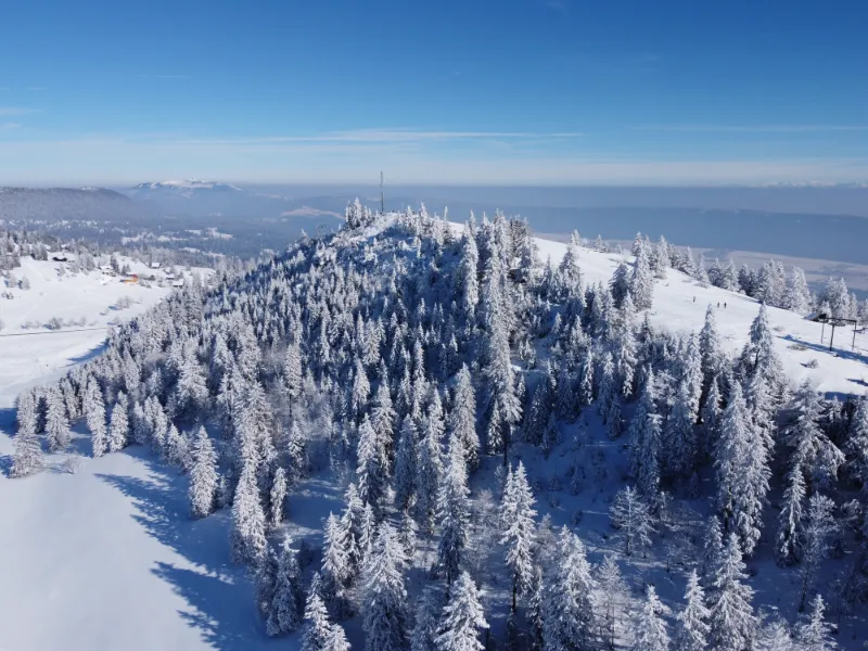
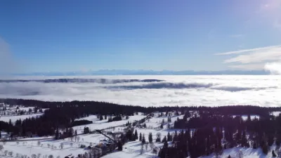
Nice spot with a view of the Jura on one side and the Alps on the other
Map and restricted areas
Open in the main mapAviation weather (METAR and TAF)
LSGC – Les Eplatures Airport LIFR
METAR
METAR LSGC 210720Z 23003KT 5000 BKN003 02/02 Q1018
- Wind
- 230°, 6 km/h
- Visibility
- 5 km
- Clouds
- Broken (5-7/8) at 300 ft (90 m)
- Temperature
- 2 °C, dew point 2 °C
- QNH
- 1018 hPa
- Flight category
- LIFR: ceiling < 500 ft or visibility < 1 mi
TAF
TAF COR LSGC 210552Z 2106/2115 VRB02KT 7000 -SNRA BKN016 TEMPO 2106/2109 2000 SN VV004 BECMG 2110/2112 NSW
| Period (local time) | Change | Wind | Visibility | Weather | Clouds |
|---|---|---|---|---|---|
| 21/11 07:00 → 21/11 11:00 | Initial conditions | Variable, 4 km/h | 7 km | Snow light ; rain light | Broken (5-7/8) at 1,600 ft (490 m) |
| 21/11 07:00 → 21/11 10:00 | Temporarily | 2.0 km | Snow | Sky obscured ; Sky obscured, vertical visibility 400 ft (120 m) | |
| 21/11 11:00 → 21/11 16:00 | Becoming | Variable, 4 km/h | 7 km | No significant weather | Broken (5-7/8) at 1,600 ft (490 m) |
Weather and Kp index
Sunrise and sunset
| Day | Dawn | Sunrise | Golden hour | Sunset | Dusk | Day length |
|---|---|---|---|---|---|---|
| Sat 21 Nov | 07:11 | 07:45 | 07:45–08:33 · 16:04–16:52 | 16:52 | 17:26 | 9 h 07 |
| Sun 22 Nov | 07:12 | 07:46 | 07:46–08:34 · 16:03–16:51 | 16:51 | 17:25 | 9 h 05 |
| Mon 23 Nov | 07:14 | 07:47 | 07:47–08:36 · 16:02–16:51 | 16:51 | 17:24 | 9 h 03 |
| Tue 24 Nov | 07:15 | 07:49 | 07:49–08:38 · 16:01–16:50 | 16:50 | 17:24 | 9 h 01 |
| Wed 25 Nov | 07:16 | 07:50 | 07:50–08:39 · 16:00–16:49 | 16:49 | 17:23 | 8 h 59 |
| Thu 26 Nov | 07:17 | 07:51 | 07:51–08:41 · 15:59–16:48 | 16:48 | 17:22 | 8 h 57 |
| Fri 27 Nov | 07:18 | 07:53 | 07:53–08:42 · 15:58–16:48 | 16:48 | 17:22 | 8 h 55 |

Reviews
Log in to review this spot. Log in · Create a free account
No reviews yet. Share yours!