

Panorama of the Alps - Mont Salève
1 pilot review
“superbe lieu pour apprendre à voler en montagne” — TomDji, 1 year ago
Read the reviews + Write my reviewDescription
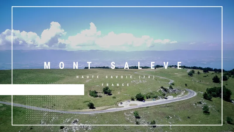
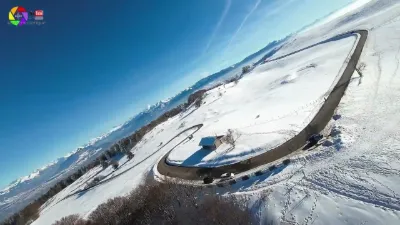
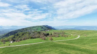
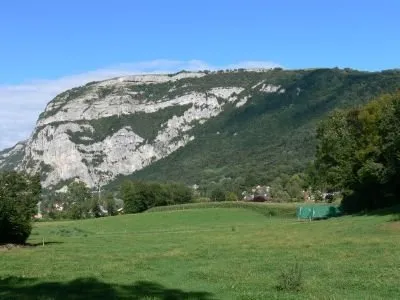
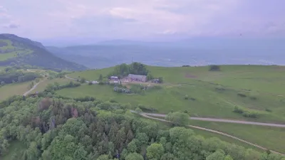
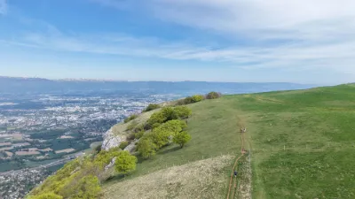
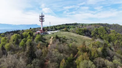
The Balcony of Geneva At 1,379 meters high, the Salève attracts many tourists every year, in summer and winter alike, who come to admire the panorama from the top of what is commonly called the "Balcony of Geneva". This emblematic mountain of the Geneva region also attracts all the curious and photographers who want to capture the beauty of the landscape, and rightly so! The Salève indeed offers an unobstructed view of the city of Geneva and its surroundings, and it is always a pleasure to watch the sunrise or sunset from its summit.
Map and restricted areas
Open in the main mapNearby aerodromes
Open aerodromes within 25 km of the spot, heliports included, with their distance and direction from the spot. Near an aerodrome, drone flying is prohibited or height-limited: check the UAS zones map.
| Aerodrome | Type | Distance | Elevation | Difference |
|---|---|---|---|---|
| Annemasse Airfield | Airport | 9.0 km NE | 494 m | spot 795 m higher |
| Geneva Cointrin International Airport | Major airport | 13 km NW | 430 m | spot 858 m higher |
| Annecy-Haute-Savoie-Mont Blanc Airport | Airport | 24 km S | 464 m | spot 825 m higher |
| Altiport du Col de Cenise | Aerodrome | 24 km SE | 1,724 m | spot 435 m lower |
| Hôtel Du Château Heliport | Heliport | 25 km N | 511 m | spot 777 m higher |
Aviation weather (METAR and TAF)
LSGG – Geneva Cointrin International Airport VFR
METAR
METAR LSGG 210720Z AUTO VRB02KT 9999 -SHRA SCT010 BKN056 07/06 Q1020 NOSIG
- Wind
- Variable, 4 km/h
- Visibility
- 10 km or more
- Weather
- Showers of rain light
- Clouds
- Scattered (3-4/8) at 1,000 ft (300 m) ; Broken (5-7/8) at 5,600 ft (1710 m)
- Temperature
- 7 °C, dew point 6 °C
- QNH
- 1020 hPa
- Flight category
- VFR: ceiling > 3,000 ft and visibility > 5 mi
TAF
TAF COR LSGG 210528Z 2106/2212 VRB02KT 9999 FEW012 BKN035 TX12/2115Z TN07/2106Z TN04/2206Z TEMPO 2106/2108 SHRA BKN010 BECMG 2202/2204 RA
| Period (local time) | Change | Wind | Visibility | Weather | Clouds |
|---|---|---|---|---|---|
| 21/11 07:00 → 22/11 03:00 | Initial conditions | Variable, 4 km/h | 10 km or more | Few (1-2/8) at 1,200 ft (370 m) ; Broken (5-7/8) at 3,500 ft (1070 m) | |
| 21/11 07:00 → 21/11 09:00 | Temporarily | Showers of rain | Broken (5-7/8) at 1,000 ft (300 m) | ||
| 22/11 03:00 → 22/11 13:00 | Becoming | Variable, 4 km/h | 10 km or more | Rain | Few (1-2/8) at 1,200 ft (370 m) ; Broken (5-7/8) at 3,500 ft (1070 m) |
Weather and Kp index
Sunrise and sunset
| Day | Dawn | Sunrise | Golden hour | Sunset | Dusk | Day length |
|---|---|---|---|---|---|---|
| Sat 21 Nov | 07:11 | 07:44 | 07:44–08:31 · 16:11–16:58 | 16:58 | 17:31 | 9 h 13 |
| Sun 22 Nov | 07:13 | 07:46 | 07:46–08:33 · 16:10–16:57 | 16:57 | 17:30 | 9 h 11 |
| Mon 23 Nov | 07:14 | 07:47 | 07:47–08:35 · 16:09–16:56 | 16:56 | 17:29 | 9 h 09 |
| Tue 24 Nov | 07:15 | 07:48 | 07:48–08:36 · 16:08–16:56 | 16:56 | 17:29 | 9 h 07 |
| Wed 25 Nov | 07:16 | 07:50 | 07:50–08:37 · 16:07–16:55 | 16:55 | 17:28 | 9 h 05 |
| Thu 26 Nov | 07:18 | 07:51 | 07:51–08:39 · 16:06–16:54 | 16:54 | 17:28 | 9 h 03 |
| Fri 27 Nov | 07:19 | 07:52 | 07:52–08:40 · 16:05–16:54 | 16:54 | 17:27 | 9 h 01 |
Reviews
Log in to review this spot. Log in · Create a free account
TomDji
superbe lieu pour apprendre à voler en montagne