

The Montgacon mound

No reviews yet
Have you flown here? Share your experience with other pilots.
+ Write the first reviewDescription
The Montgacon mound is one of the many mottes in the region that formed a line of fortifications along the Allier, but it is certainly one of the most important in the département. Its current appearance (two superimposed platforms topped by a round dome) is the result of a reworking of the summit after the damage caused by demolitions over past centuries. In 582, under the lordship of the Dukes of Aquitaine, a Gascon colony settled here, hence its present name Montgacon, derived from Mont Gascon, and it became a powerful barony on the border of Auvergne. The first written record of the castle dates from 1052, from a text by Henry I, King of France, confirming the donation of the castle chapel to the abbey of La Chaise-Dieu.
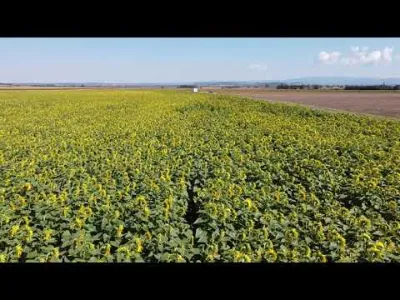
Video
Map and restricted areas
Open in the main mapNearby aerodromes
Open aerodromes within 25 km of the spot, heliports included, with their distance and direction from the spot. Near an aerodrome, drone flying is prohibited or height-limited: check the UAS zones map.
| Aerodrome | Type | Distance | Elevation | Difference |
|---|---|---|---|---|
| Clermont-Ferrand Auvergne Airport | Airport | 23 km SW | 332 m | spot 70 m higher |
| Vichy-Charmeil Airport | Airport | 25 km N | 249 m | spot 153 m higher |
Aviation weather (METAR and TAF)
LFLC – Clermont-Ferrand Auvergne Airport VFR
METAR
METAR LFLC 210630Z AUTO 05003KT 340V080 9999 SCT042 OVC049 09/06 Q1020 NOSIG
- Wind
- 050°, 6 km/h
- Visibility
- 10 km or more
- Clouds
- Scattered (3-4/8) at 4,200 ft (1280 m) ; Overcast (8/8) at 4,900 ft (1490 m)
- Temperature
- 9 °C, dew point 6 °C
- QNH
- 1020 hPa
- Flight category
- VFR: ceiling > 3,000 ft and visibility > 5 mi
TAF
TAF LFLC 210500Z 2106/2206 19005KT 9999 BKN030
| Period (local time) | Change | Wind | Visibility | Weather | Clouds |
|---|---|---|---|---|---|
| 21/11 07:00 → 22/11 07:00 | Initial conditions | 190°, 9 km/h | 10 km or more | Broken (5-7/8) at 3,000 ft (910 m) |
Weather and Kp index
Sunrise and sunset
| Day | Dawn | Sunrise | Golden hour | Sunset | Dusk | Day length |
|---|---|---|---|---|---|---|
| Sat 21 Nov | 07:22 | 07:55 | 07:55–08:42 · 16:23–17:10 | 17:10 | 17:43 | 9 h 14 |
| Sun 22 Nov | 07:24 | 07:56 | 07:56–08:43 · 16:22–17:09 | 17:09 | 17:42 | 9 h 12 |
| Mon 23 Nov | 07:25 | 07:58 | 07:58–08:45 · 16:21–17:08 | 17:08 | 17:41 | 9 h 10 |
| Tue 24 Nov | 07:26 | 07:59 | 07:59–08:46 · 16:20–17:07 | 17:07 | 17:41 | 9 h 08 |
| Wed 25 Nov | 07:27 | 08:00 | 08:00–08:48 · 16:19–17:07 | 17:07 | 17:40 | 9 h 06 |
| Thu 26 Nov | 07:28 | 08:02 | 08:02–08:49 · 16:18–17:06 | 17:06 | 17:39 | 9 h 04 |
| Fri 27 Nov | 07:30 | 08:03 | 08:03–08:51 · 16:18–17:06 | 17:06 | 17:39 | 9 h 02 |

Reviews
Log in to review this spot. Log in · Create a free account
No reviews yet. Share yours!