

Water
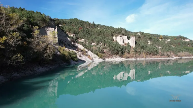
Lac du Sautet at Corps
1 pilot review
“Génial ces couleurs d'automne !” — GLR303, 5 years ago
Read the reviews + Write my reviewDescription
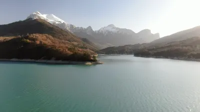
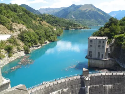
Lac du Sautet, fed by the Drac and the Souloise, is a very pretty hydroelectric reservoir. The Drac continues on its way to Grenoble. DJI AIR2S - ND16 filter
Map and restricted areas
Open in the main mapNearby aerodromes
Open aerodromes within 25 km of the spot, heliports included, with their distance and direction from the spot. Near an aerodrome, drone flying is prohibited or height-limited: check the UAS zones map.
| Aerodrome | Type | Distance | Elevation | Difference |
|---|---|---|---|---|
| Altisurface de Notre-Dame-de-la-Salette | Aerodrome | 6.7 km NE | 1,580 m | spot 826 m lower |
| Chateau de Montmeilleur | Aerodrome | 13 km W | 850 m | spot 96 m lower |
| Altisurface de Saint-Étienne-en-Dévoluy | Aerodrome | 13 km S | 1,890 m | spot 1,136 m lower |
| Mens Airstrip | Aerodrome | 13 km W | 853 m | spot 99 m lower |
Aviation weather (METAR and TAF)
No METAR station within 50 km.
Weather and Kp index
Sunrise and sunset
| Day | Dawn | Sunrise | Golden hour | Sunset | Dusk | Day length |
|---|---|---|---|---|---|---|
| Sat 21 Nov | 07:09 | 07:41 | 07:41–08:27 · 16:18–17:03 | 17:03 | 17:35 | 9 h 21 |
| Sun 22 Nov | 07:10 | 07:43 | 07:43–08:28 · 16:17–17:02 | 17:02 | 17:34 | 9 h 19 |
| Mon 23 Nov | 07:12 | 07:44 | 07:44–08:30 · 16:16–17:02 | 17:02 | 17:34 | 9 h 17 |
| Tue 24 Nov | 07:13 | 07:45 | 07:45–08:31 · 16:15–17:01 | 17:01 | 17:33 | 9 h 15 |
| Wed 25 Nov | 07:14 | 07:46 | 07:46–08:33 · 16:14–17:00 | 17:00 | 17:33 | 9 h 13 |
| Thu 26 Nov | 07:15 | 07:48 | 07:48–08:34 · 16:13–17:00 | 17:00 | 17:32 | 9 h 12 |
| Fri 27 Nov | 07:16 | 07:49 | 07:49–08:35 · 16:13–16:59 | 16:59 | 17:32 | 9 h 10 |



Reviews
Log in to review this spot. Log in · Create a free account
GLR303
Génial ces couleurs d'automne !