

Quinson, the lake

1 pilot review
“Joli vidéo , j'aime bien . jypai83” — jypai83, 4 years ago
Read the reviews + Write my reviewDescription
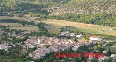
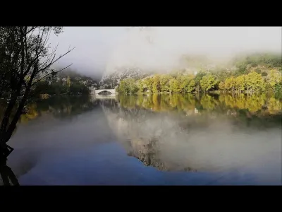
Lake Quinson is a reservoir lake located in the Var, in France. It is formed by the Gréoux dam on the Verdon, which came into service in 1967 and lies more than 13 kilometers downstream. Geography Lake Quinson serves as the boundary between two departments, the Var and the Alpes-de-Haute-Provence, and between two municipalities, Quinson (04) and Montmeyan (83). Road access is mainly via the D13 departmental road.
History The site has been known and inhabited since prehistoric times. Excavations in the Baume-Bonne cave have uncovered a rich collection of objects from that period, now kept at the Prehistory Museum of Quinson.
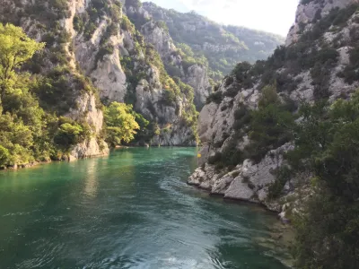
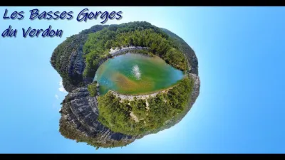
Economy As along the whole course of the Verdon, the economy of Lake Quinson is mainly focused on tourism. The Quinson water sports center is one of the starting points for visiting the Verdon gorges by water, with electric boat rentals.
Map and restricted areas
Open in the main mapNearby aerodromes
Open aerodromes within 25 km of the spot, heliports included, with their distance and direction from the spot. Near an aerodrome, drone flying is prohibited or height-limited: check the UAS zones map.
| Aerodrome | Type | Distance | Elevation | Difference |
|---|---|---|---|---|
| Aérodrome de Vinon | Aerodrome | 21 km W | 275 m | spot 83 m higher |
| Puimoisson Airfield | Aerodrome | 22 km NE | 769 m | spot 411 m lower |
Aviation weather (METAR and TAF)
LFMC – Le Luc-Le Cannet Airport VFR
METAR
METAR LFMC 211100Z AUTO 26011KT CAVOK 17/06 Q1018
- Wind
- 260°, 20 km/h
- Visibility
- 10 km or more
- Clouds
- –
- Temperature
- 17 °C, dew point 6 °C
- QNH
- 1018 hPa
- Flight category
- VFR: ceiling > 3,000 ft and visibility > 5 mi
TAF
Weather and Kp index
Sunrise and sunset
| Day | Dawn | Sunrise | Golden hour | Sunset | Dusk | Day length |
|---|---|---|---|---|---|---|
| Sat 21 Nov | 07:06 | 07:38 | 07:38–08:22 · 16:21–17:06 | 17:06 | 17:37 | 9 h 28 |
| Sun 22 Nov | 07:07 | 07:39 | 07:39–08:23 · 16:21–17:05 | 17:05 | 17:36 | 9 h 26 |
| Mon 23 Nov | 07:09 | 07:40 | 07:40–08:25 · 16:20–17:04 | 17:04 | 17:36 | 9 h 24 |
| Tue 24 Nov | 07:10 | 07:41 | 07:41–08:26 · 16:19–17:04 | 17:04 | 17:35 | 9 h 22 |
| Wed 25 Nov | 07:11 | 07:43 | 07:43–08:27 · 16:18–17:03 | 17:03 | 17:35 | 9 h 20 |
| Thu 26 Nov | 07:12 | 07:44 | 07:44–08:29 · 16:17–17:03 | 17:03 | 17:34 | 9 h 18 |
| Fri 27 Nov | 07:13 | 07:45 | 07:45–08:30 · 16:17–17:02 | 17:02 | 17:34 | 9 h 17 |


Reviews
Log in to review this spot. Log in · Create a free account
jypai83
Joli vidéo , j'aime bien . jypai83