

Collias, the Gardon gorges, and the Pont du Gard
No reviews yet
Have you flown here? Share your experience with other pilots.
+ Write the first reviewDescription
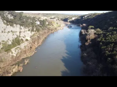
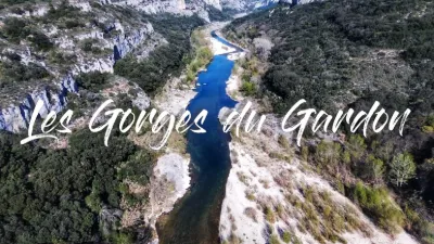
By carving its way through the Urgonian massif over 6 million years, the Gardon has shaped very picturesque and often spectacular landscapes.
The relief comes from a limestone block several hundred meters thick that was uplifted and that the Gardon slowly carved into a winding canyon, running roughly west to east. Deeply cut (up to 120 meters) and almost enclosed, it is notched along its sides by numerous combes (depressions) and a network of dry valleys leading above the gorge, which are usually without water.
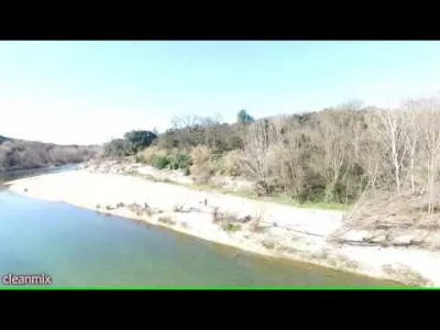
This steep-sided valley is bordered to the north and south by plateaus and hills covered with garrigue vegetation of holm oak, interrupted here and there by islands of meadows with Mediterranean grasses.
The flow of the Gardon's waters is unusual. Its waters disappear through countless fissures and sinkholes, completely in summer in some sections, and reappear further on through resurgences, having travelled underground through shafts and galleries.
Finally, on either side of these gorges, the villages nestle in the plains where the limestone hills emerge.
The Gardon massif and gorges offer a succession of surprises: the limestone plateau, sometimes open, often hidden by vegetation, the agricultural valleys of vines and olive trees, the white cliffs, the riverside forest, the stone slabs along the Gardon, the mills, hermitages and caves. The site, listed under the 1930 law on the protection of natural spaces and sites, covers 2,940 hectares. It benefits from special protections: a biotope protection order covering 328 hectares because of the presence of Bonelli's eagles, a Special Protection Area (SPA) designation under the Birds Directive, 320 hectares of Mediterranean forest under forestry management, and a protected-area classification for most of the gorges and the massif. As coordinator of the Natura 2000 network in the area, the Syndicat Mixte is also a partner in a Life program, "Protection of 3 bat species in the south of France".
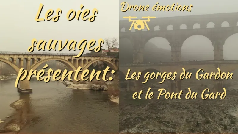
THE PONT DU GARD AN EXCEPTIONAL AND WELL-PRESERVED HISTORICAL HERITAGE The Pont du Gard was built by the Romans in the first century AD. In reality, it is not a bridge: it is the ruins of the aqueduct that carried water from the Eure spring at Uzès to Nîmes for five centuries. The 35,000 m3 of water carried by the aqueduct every day supplied the city's inhabitants with drinking water, as well as its baths, fountains and gardens.
Standing 50 meters high and built on three levels, it is today the tallest ancient aqueduct bridge in the world! It is a true symbol of Roman scientific genius: 52 kilometers long, its total drop is only 17 meters. The builders of the time had to show great ingenuity to build bridges and tunnels through the garrigue landscapes to reach Nîmes. Today, it is the only example of an ancient three-tier bridge still standing!
Map and restricted areas
Open in the main mapNearby aerodromes
Open aerodromes within 25 km of the spot, heliports included, with their distance and direction from the spot. Near an aerodrome, drone flying is prohibited or height-limited: check the UAS zones map.
| Aerodrome | Type | Distance | Elevation | Difference |
|---|---|---|---|---|
| Nîmes Courbessac Airport | Aerodrome | 12 km SW | 60 m | spot 35 m higher |
| Uzès Airfield | Aerodrome | 16 km NW | 270 m | spot 175 m lower |
| Nîmes-Arles-Camargue Airport | Airport | 22 km S | 94 m | same altitude as the spot |
| Aérodrome d'Avignon-Pujaut | Aerodrome | 23 km E | 45 m | spot 50 m higher |
Aviation weather (METAR and TAF)
LFTW – Nîmes-Arles-Camargue Airport VFR
METAR
METAR LFTW 210800Z AUTO 04004KT CAVOK 08/07 Q1021 NOSIG
- Wind
- 040°, 7 km/h
- Visibility
- 10 km or more
- Clouds
- –
- Temperature
- 8 °C, dew point 7 °C
- QNH
- 1021 hPa
- Flight category
- VFR: ceiling > 3,000 ft and visibility > 5 mi
TAF
TAF LFTW 210200Z 2103/2203 VRB03KT CAVOK BECMG 2119/2121 13010KT -RA BKN020 PROB40 TEMPO 2122/2203 13015G25KT 4000 RA BKN012 BKN025
| Period (local time) | Change | Wind | Visibility | Weather | Clouds |
|---|---|---|---|---|---|
| 21/11 04:00 → 21/11 20:00 | Initial conditions | Variable, 6 km/h | 10 km or more | No significant weather | No significant cloud |
| 21/11 20:00 → 22/11 04:00 | Becoming | 130°, 19 km/h | 10 km or more | Rain light | Broken (5-7/8) at 2,000 ft (610 m) |
| 21/11 23:00 → 22/11 04:00 | Temporarily, probability 40% | 130°, 28 km/h, gusts 46 km/h | 4.0 km | Rain | Broken (5-7/8) at 1,200 ft (370 m) ; Broken (5-7/8) at 2,500 ft (760 m) |
Weather and Kp index
Sunrise and sunset
| Day | Dawn | Sunrise | Golden hour | Sunset | Dusk | Day length |
|---|---|---|---|---|---|---|
| Sat 21 Nov | 07:13 | 07:45 | 07:45–08:29 · 16:27–17:11 | 17:11 | 17:43 | 9 h 26 |
| Sun 22 Nov | 07:14 | 07:46 | 07:46–08:31 · 16:26–17:11 | 17:11 | 17:42 | 9 h 24 |
| Mon 23 Nov | 07:15 | 07:47 | 07:47–08:32 · 16:25–17:10 | 17:10 | 17:42 | 9 h 22 |
| Tue 24 Nov | 07:17 | 07:48 | 07:48–08:33 · 16:24–17:09 | 17:09 | 17:41 | 9 h 20 |
| Wed 25 Nov | 07:18 | 07:50 | 07:50–08:35 · 16:23–17:09 | 17:09 | 17:40 | 9 h 19 |
| Thu 26 Nov | 07:19 | 07:51 | 07:51–08:36 · 16:23–17:08 | 17:08 | 17:40 | 9 h 17 |
| Fri 27 Nov | 07:20 | 07:52 | 07:52–08:37 · 16:22–17:07 | 17:07 | 17:39 | 9 h 15 |


Reviews
Log in to review this spot. Log in · Create a free account
No reviews yet. Share yours!