

Heritage
L'isle Adam
3 pilot reviews
“Bonjour, Je voulais moi même faire un vol à cet endroit. En faisant les vérifications néce…” — BreizhOliv, 3 years ago
Read the reviews + Write my reviewDescription
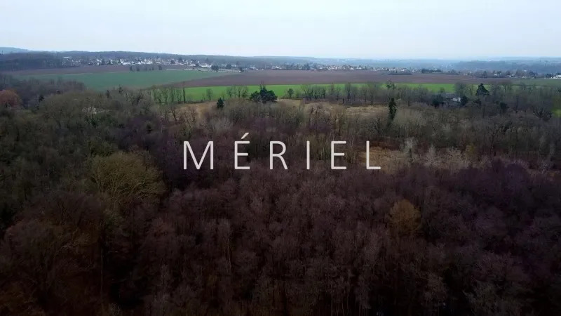
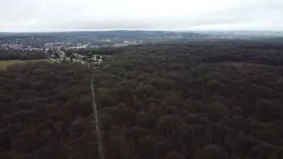
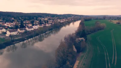
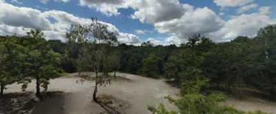
The quarry overlooking the forest lets you keep a better view of the drone during the flight. Viewpoint over a former abbey and a castle with a lake. Access by car via a small dirt track, then on foot along a marked trail in the forest.
Map and restricted areas
Open in the main mapNearby aerodromes
Open aerodromes within 25 km of the spot, heliports included, with their distance and direction from the spot. Near an aerodrome, drone flying is prohibited or height-limited: check the UAS zones map.
| Aerodrome | Type | Distance | Elevation | Difference |
|---|---|---|---|---|
| Saint-Ouen L'Aumone Heliport | Heliport | 6.8 km SW | 41 m | spot 15 m higher |
| Centre Hospitalier René Dubos Heliport | Heliport | 9.7 km W | 81 m | spot 25 m lower |
| Enghien Moisselles Airfield | Aerodrome | 10 km SE | 102 m | spot 46 m lower |
| Aérodrome de Persan-Beaumont | Aerodrome | 11 km NE | 45 m | spot 11 m higher |
| Aérodrome de Pontoise - Cormeilles en Vexin | Airport | 14 km W | 99 m | spot 43 m lower |
Aviation weather (METAR and TAF)
LFPT – Aérodrome de Pontoise - Cormeilles en Vexin VFR
METAR
METAR LFPT 211130Z AUTO 14006KT 9999 FEW010 SCT016 BKN054 11/09 Q1018
- Wind
- 140°, 11 km/h
- Visibility
- 10 km or more
- Clouds
- Few (1-2/8) at 1,000 ft (300 m) ; Scattered (3-4/8) at 1,600 ft (490 m) ; Broken (5-7/8) at 5,400 ft (1650 m)
- Temperature
- 11 °C, dew point 9 °C
- QNH
- 1018 hPa
- Flight category
- VFR: ceiling > 3,000 ft and visibility > 5 mi
TAF
Weather and Kp index
Sunrise and sunset
| Day | Dawn | Sunrise | Golden hour | Sunset | Dusk | Day length |
|---|---|---|---|---|---|---|
| Sat 21 Nov | 07:35 | 08:10 | 08:10–09:01 · 16:13–17:04 | 17:04 | 17:39 | 8 h 53 |
| Sun 22 Nov | 07:36 | 08:12 | 08:12–09:03 · 16:11–17:03 | 17:03 | 17:38 | 8 h 51 |
| Mon 23 Nov | 07:37 | 08:13 | 08:13–09:05 · 16:10–17:02 | 17:02 | 17:37 | 8 h 48 |
| Tue 24 Nov | 07:39 | 08:14 | 08:14–09:06 · 16:09–17:01 | 17:01 | 17:37 | 8 h 46 |
| Wed 25 Nov | 07:40 | 08:16 | 08:16–09:08 · 16:08–17:00 | 17:00 | 17:36 | 8 h 44 |
| Thu 26 Nov | 07:41 | 08:17 | 08:17–09:10 · 16:07–16:59 | 16:59 | 17:35 | 8 h 42 |
| Fri 27 Nov | 07:43 | 08:19 | 08:19–09:11 · 16:06–16:59 | 16:59 | 17:35 | 8 h 40 |

Reviews
Log in to review this spot. Log in · Create a free account
BreizhOliv
Bonjour, Je voulais moi même faire un vol à cet endroit. En faisant les vérifications nécessaires, j'ai trouvé ceci : Selon le règlement des parcs et espaces vert de la région, l'usage de drone est interdit dans cette zone sauf a en demander l'autorisation expresse de l'agence des espaces vert. https://www.iledefrance-nature.fr/tous-nos-espaces-naturels-regionaux/reserve-naturelle-regionale-du-marais-de-stors/
the_valouxxx
Oui il s'agit d'un spot pour drones de loisir.
AMMN
Bonjour, merci pour ce partage. Il s’agit bien d’un point pour les drones de loisir ? Cordialement, AMMN