

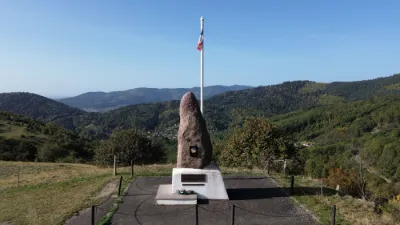
ZP00022 "National Monument of the Shock Troops" Hundstruck pass

No reviews yet
Have you flown here? Share your experience with other pilots.
+ Write the first reviewDescription
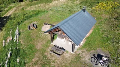
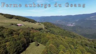
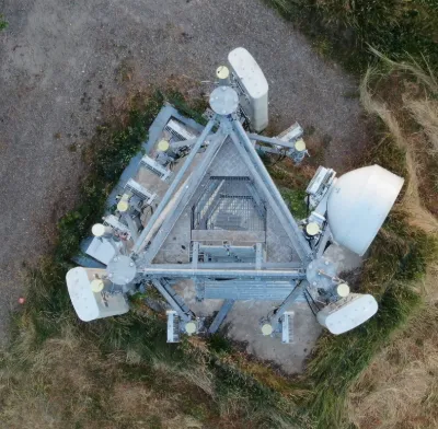
Short 4K video made from the raw footage of my latest flight training session at the Hundstruck pass on May 14, 2022. Altitude 746 m
Location: The pass separates the Thur valley from the Doller valley via the Route Joffre, at the boundary between the communes of Bitschwiller-lès-Thann and Bourbach-le-Haut. The road, opened during the First World War, is 15 kilometers long.
History: Flight height is limited to 50 meters above the National Monument dedicated to the shock troops, reachable by a small path. Its base is decorated with a plaque bearing the following inscription: "To all those who died for France in the ranks of the shock units and to Army General Fernand Gambiez, Grand Cross of the Legion of Honor (1903-1989), father of the shock troops / From Africa to this marker set up by the 1st Shock [battalion] on this high gateway to Alsace forced on 28.11.1944, one hundred and sixty chasseurs had already sacrificed their lives."
Map and restricted areas
Open in the main mapNearby aerodromes
Open aerodromes within 25 km of the spot, heliports included, with their distance and direction from the spot. Near an aerodrome, drone flying is prohibited or height-limited: check the UAS zones map.
| Aerodrome | Type | Distance | Elevation | Difference |
|---|---|---|---|---|
| Belfort Chaux Airfield | Aerodrome | 19 km SW | 417 m | spot 361 m higher |
| La Tête Des Champs Altiport | Aerodrome | 20 km NW | 970 m | spot 191 m lower |
| Ramonchamp ULM | Aerodrome | 24 km NW | 577 m | spot 201 m higher |
| Centre Hospitalier De Moenchsberg Heliport | Heliport | 24 km E | 329 m | spot 449 m higher |
Aviation weather (METAR and TAF)
LFSM – Montbéliard-Courcelles Airfield MVFR
METAR
METAR LFSM 210700Z AUTO VRB01KT 9999 BKN010/// OVC044/// OVC070/// ///TCU 07/07 Q1019
- Wind
- Variable, 2 km/h
- Visibility
- 10 km or more
- Clouds
- Broken (5-7/8) at 1,000 ft (300 m) ; Overcast (8/8) at 4,400 ft (1340 m) ; Overcast (8/8) at 7,000 ft (2130 m)
- Temperature
- 7 °C, dew point 7 °C
- QNH
- 1019 hPa
- Flight category
- MVFR: ceiling 1,000–3,000 ft or visibility 3–5 mi
TAF
Weather and Kp index
Sunrise and sunset
| Day | Dawn | Sunrise | Golden hour | Sunset | Dusk | Day length |
|---|---|---|---|---|---|---|
| Sat 21 Nov | 07:12 | 07:46 | 07:46–08:36 · 16:00–16:49 | 16:49 | 17:23 | 9 h 02 |
| Sun 22 Nov | 07:13 | 07:48 | 07:48–08:37 · 15:59–16:48 | 16:48 | 17:22 | 9 h 00 |
| Mon 23 Nov | 07:15 | 07:49 | 07:49–08:39 · 15:57–16:47 | 16:47 | 17:22 | 8 h 58 |
| Tue 24 Nov | 07:16 | 07:51 | 07:51–08:41 · 15:56–16:46 | 16:46 | 17:21 | 8 h 55 |
| Wed 25 Nov | 07:17 | 07:52 | 07:52–08:42 · 15:55–16:46 | 16:46 | 17:20 | 8 h 53 |
| Thu 26 Nov | 07:19 | 07:53 | 07:53–08:44 · 15:55–16:45 | 16:45 | 17:20 | 8 h 51 |
| Fri 27 Nov | 07:20 | 07:55 | 07:55–08:45 · 15:54–16:44 | 16:44 | 17:19 | 8 h 49 |

Reviews
Log in to review this spot. Log in · Create a free account
No reviews yet. Share yours!