Skip to content
Unusual

Fjallsárlón - Þjóðvegur
Iceland

Fjallsárlón - Þjóðvegur – photo 1Fjallsárlón - Þjóðvegur – photo 2Fjallsárlón - Þjóðvegur – photo 3Fjallsárlón - Þjóðvegur – photo 4Fjallsárlón - Þjóðvegur – photo 5

No reviews yet

Have you flown here? Share your experience with other pilots.

+ Write the first review

Description

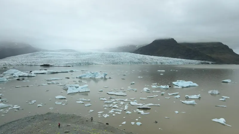
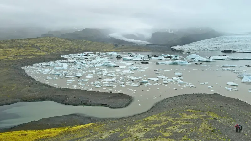
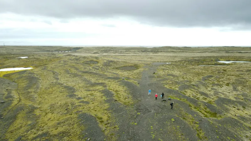
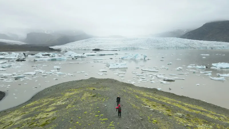
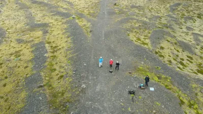
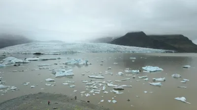
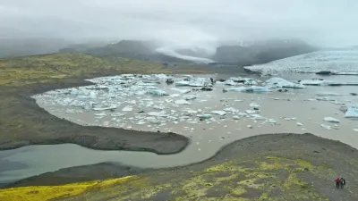
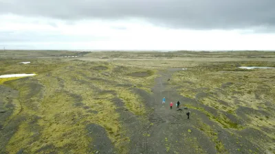
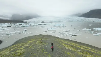
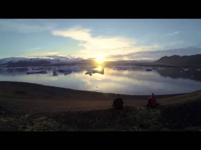
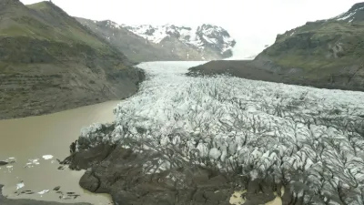
Superb spot facing the glacier https://www.islande-explora.com/voyage-islande/region-sud/fjallsarlon/ Near SKAFTAFELL

Automatic translation.

Video

Watch the video

Plan the light

Weather and Kp index

Loading forecast…

Sunrise and sunset

Local times at the spot (UTC). The golden hour, the warm, low light sought after for photos and videos, runs from sunrise until the sun reaches 6° above the horizon, and in the evening from 6° until sunset.

Day Dawn Sunrise Golden hour Sunset Dusk Day length
Sat 21 Nov08:49 09:52 09:52–12:46 · 12:57–15:51 15:51 16:545 h 58
Sun 22 Nov08:52 09:55 All day 15:48 16:525 h 52
Mon 23 Nov08:54 09:58 All day 15:45 16:505 h 46
Tue 24 Nov08:57 10:02 All day 15:43 16:485 h 41
Wed 25 Nov08:59 10:05 All day 15:41 16:465 h 35
Thu 26 Nov09:01 10:08 All day 15:38 16:445 h 30
Fri 27 Nov09:04 10:10 All day 15:36 16:435 h 25

Nearby on Wikipedia

  • Fjallsárlón · 0.9 km away

    La Fjallsárlón, toponyme islandais signifiant littéralement en français « lagune de la Fjallsá », est un lac proglaciaire situé au sud du glacier Vatnajökull en Islande. Il est alimenté par le Fjallsjökull, qui fait partie du plus large Vatnajökull, qui plonge les eaux du lac et quelques icebergs (...)

  • Breiðárlón · 4.9 km away

    La Breiðárlón, toponyme islandais signifiant littéralement en français « lagune de la Breiðá », est un lac proglaciaire situé au sud du glacier Vatnajökull en Islande. Ce lac est situé dans le parc national du Vatnajökull et non loin du célèbre lac proglaciaire Jökulsárlón (...)

  • Jökulsárlón · 10 km away

    La Jökulsárlón, toponyme islandais signifiant littéralement en français « lagune du glacier », est le plus connu et le plus grand des lacs proglaciaires en Islande. Il se trouve au sud du glacier Vatnajökull entre le parc national du Vatnajökull et la ville de Höfn (...)

  • Öræfajökull (glacier) · 13 km away

    LÖræfajökull est un glacier d'Islande situé dans la caldeira du même nom. (...)

  • Hvannadalshnjúkur · 13 km away

    Le Hvannadalshnjúkur, toponyme islandais signifiant littéralement en français « le pic de la vallée des angéliques », est une montagne d'Islande culminant à mètres d'altitude ce qui en fait le point culminant de ce pays . Inclus dans le parc national de Skaftafell, il en est l'un des symboles. (...)

Articles found by GeoNames from the spot's position.

Nearby spots

Reviews

Log in to review this spot. Log in · Create a free account

No reviews yet. Share yours!

Connection to the site lost. Trying again…

The site is not responding. Trying again in seconds.

The site is no longer responding.

The site has been updated. Reloading the page…

This page has expired.

Resuming failed. Please reload the page.

The site is no longer responding.