Skip to content
Water

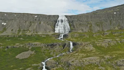
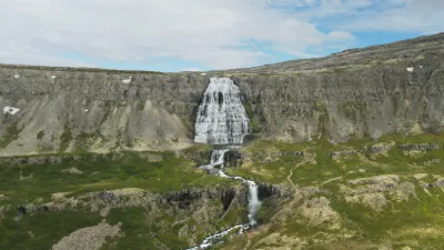
Dynjandifoss

Iceland

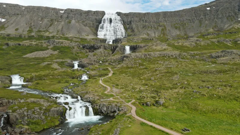
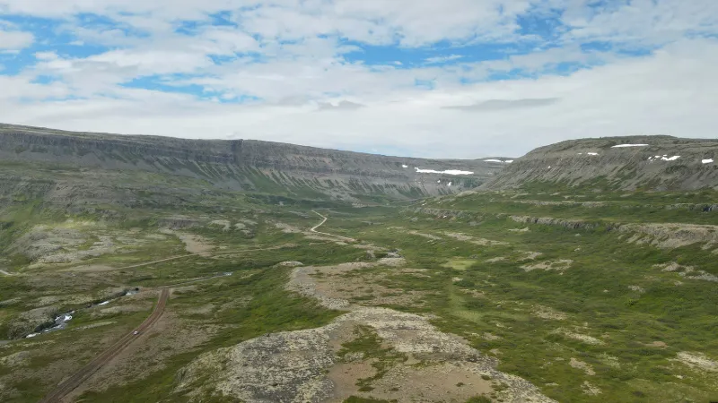
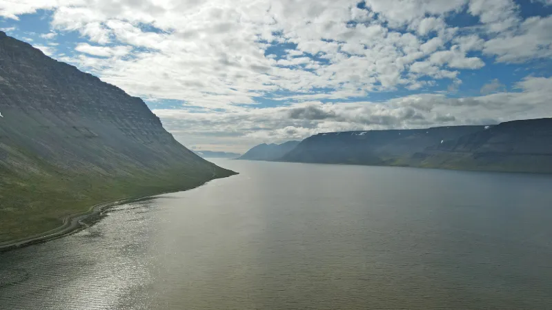
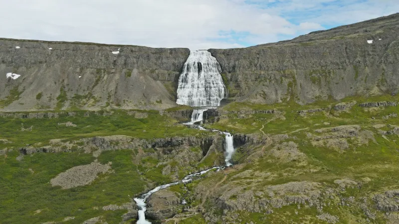
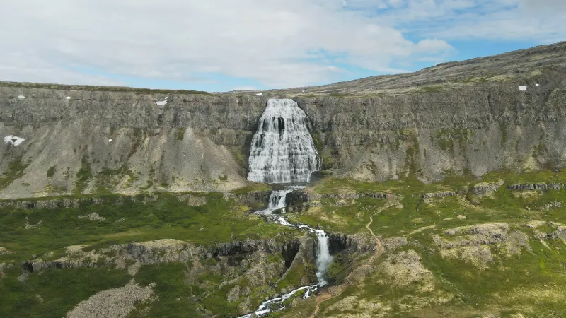
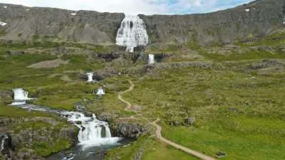
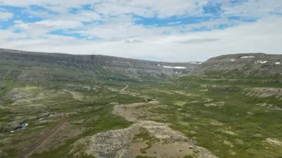
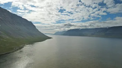
Dynjandifoss – photo 1Dynjandifoss – photo 2Dynjandifoss – photo 3Dynjandifoss – photo 4Dynjandifoss – photo 5

No reviews yet

Have you flown here? Share your experience with other pilots.

+ Write the first review

Description

Superb spot, but WARNING: taking off with your drone and flying over the site is prohibited. My takeoff point is beyond the signs and I sensibly stayed outside the restricted area. Near FJALLFOSS

Automatic translation.

Aviation weather (METAR and TAF)

BIIS – Ísafjörður Airport · 35 km N VFR

METAR

Observed 21/11 11:00 · 29 min ago

METAR BIIS 211100Z 07004KT 9999 BKN045 01/M03 Q1010

Wind
070°, 7 km/h
Visibility
10 km or more
Clouds
Broken (5-7/8) at 4,500 ft (1370 m)
Temperature
1 °C, dew point -3 °C
QNH
1010 hPa
Flight category
VFR: ceiling > 3,000 ft and visibility > 5 mi

TAF

Issued 21/11 10:20 · valid from 21/11 11:00 to 21/11 16:00

TAF BIIS 211020Z 2111/2116 11005KT 9999 SCT040 BKN050

Period (local time) Change Wind Visibility Weather Clouds
21/11 11:00 → 21/11 16:00 Initial conditions 110°, 9 km/h 10 km or more Scattered (3-4/8) at 4,000 ft (1220 m) ; Broken (5-7/8) at 5,000 ft (1520 m)

Empty cell: no change forecast for that element.

METAR and TAF from NOAA (Aviation Weather Center), for guidance only: they do not replace flight planning with official sources (SIA, Météo-France). Nearest station that issues a METAR, not necessarily the nearest aerodrome.

Plan the light

Weather and Kp index

Loading forecast…

Sunrise and sunset

Local times at the spot (UTC). The golden hour, the warm, low light sought after for photos and videos, runs from sunrise until the sun reaches 6° above the horizon, and in the evening from 6° until sunset.

Day Dawn Sunrise Golden hour Sunset Dusk Day length
Sat 21 Nov09:28 10:40 All day 15:58 17:095 h 18
Sun 22 Nov09:31 10:43 All day 15:55 17:075 h 11
Mon 23 Nov09:34 10:47 All day 15:52 17:055 h 04
Tue 24 Nov09:37 10:51 All day 15:48 17:024 h 57
Wed 25 Nov09:39 10:54 All day 15:45 17:004 h 51
Thu 26 Nov09:42 10:58 All day 15:42 16:584 h 44
Fri 27 Nov09:44 11:01 All day 15:40 16:574 h 38

Nearby on Wikipedia

  • Fjallfoss · 1.0 km away

    La Fjallfoss, toponyme islandais signifiant littéralement en français « cascade de la montagne », est une cascade dominant l'Arnarfjörður dans le Nord-Ouest de l'Islande, la plus grande des chutes d'eau de la région des Vestfirðir. (...)

  • Bataille de Haugsnes · 10 km away

    La bataille de Haugsnes opposa le clan familial des Sturlungar à celui des Ásbirningar le , au nord de l'Islande, pendant la guerre civile de l'âge des Sturlungar. Environ 110 hommes furent tués lors de cette bataille, ce qui en fait la bataille la plus sanglante de l'histoire de l'Islande (...)

  • Dýrafjörður · 10 km away

    Le Dýrafjörður est un fjord de la région de Vestfirðir (les fjords de l'ouest) situé entre l'Arnarfjörður et l'Önundarfjörður qui mesure de long et de large à l'embouchure. Il fait maintenant partie de la municipalité d'Ísafjörður (...)

  • Hrafnseyri · 11 km away

    Hrafnseyri est une localité d'Islande, dans la région des Vestfirðir, connue pour être le village natal de Jón Sigurðsson, chef de file du mouvement pacifiste pour l'indépendance de l'Islande. (...)

  • Glámujökull · 12 km away

    Le Glámujökull, toponyme islandais signifiant littéralement en français « le glacier de Gláma », était un glacier d'Islande. Il se trouvait dans la région des Vestfirðir, sur le plateau de Gláma culminant à d'altitude, au sud de l'Ísafjarðardjúp, au nord du Breiðafjörður et à l'est de l'Arnarfjörður (...)

Articles found by GeoNames from the spot's position.

Reviews

Log in to review this spot. Log in · Create a free account

No reviews yet. Share yours!

Connection to the site lost. Trying again…

The site is not responding. Trying again in seconds.

The site is no longer responding.

The site has been updated. Reloading the page…

This page has expired.

Resuming failed. Please reload the page.

The site is no longer responding.