Skip to content
Heritage

Burdakirkja
Iceland

Burdakirkja – photo 1Burdakirkja – photo 2Burdakirkja – photo 3Burdakirkja – photo 4Burdakirkja – photo 5

No reviews yet

Have you flown here? Share your experience with other pilots.

+ Write the first review

Description

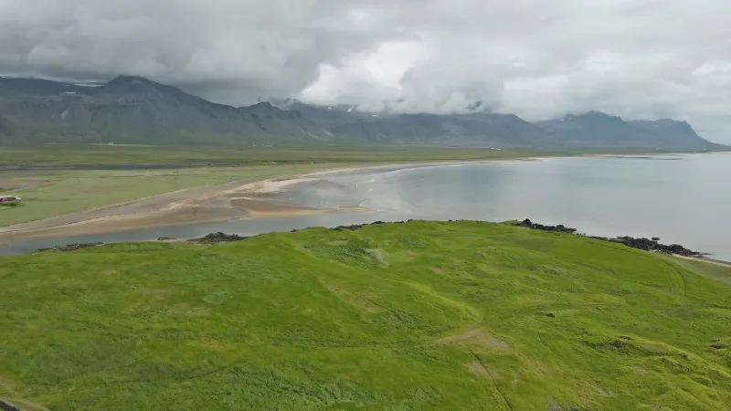
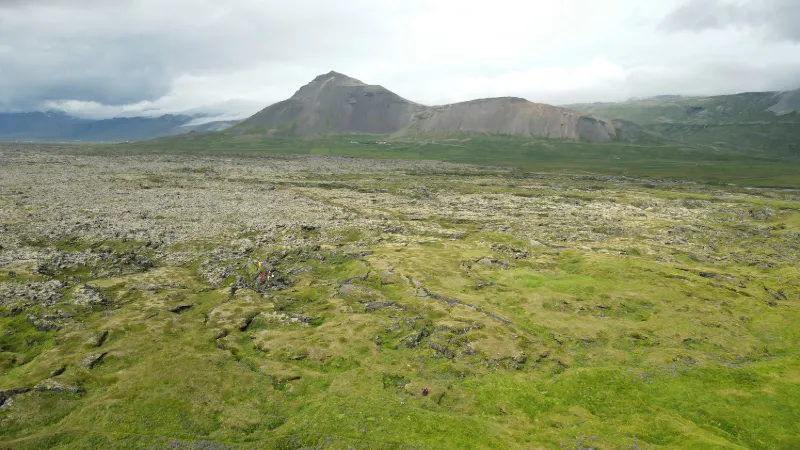
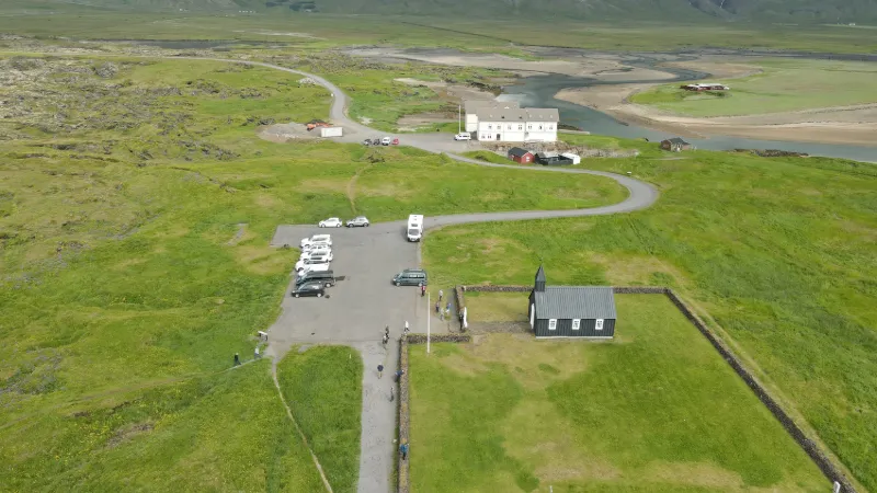
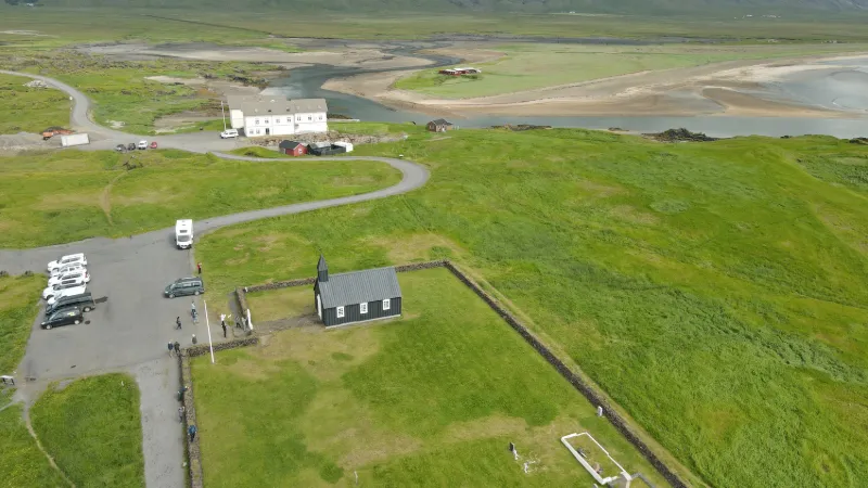
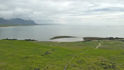
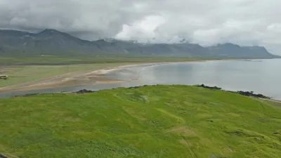
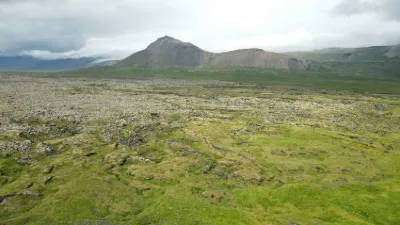
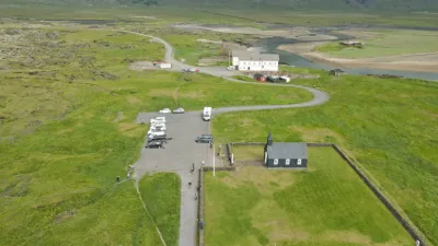
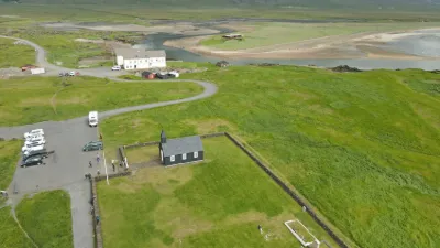
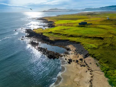
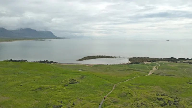
Pretty spot with this old church set back from the fjord. The area, close to Snaefellsjoekull National Park (no-fly zone), is therefore on the itinerary of tour operators, so take care to fly only when they are not there. → The area is classified as a Nature Reserve but there is (currently) no no-fly sign https://www.budakirkja.is/ Near BUÐIR

Automatic translation.

Plan the light

Weather and Kp index

Loading forecast…

Sunrise and sunset

Local times at the spot (UTC). The golden hour, the warm, low light sought after for photos and videos, runs from sunrise until the sun reaches 6° above the horizon, and in the evening from 6° until sunset.

Day Dawn Sunrise Golden hour Sunset Dusk Day length
Sat 21 Nov09:23 10:29 All day 16:10 17:165 h 40
Sun 22 Nov09:25 10:32 All day 16:07 17:145 h 34
Mon 23 Nov09:28 10:36 All day 16:04 17:125 h 28
Tue 24 Nov09:30 10:39 All day 16:01 17:105 h 22
Wed 25 Nov09:33 10:42 All day 15:59 17:085 h 16
Thu 26 Nov09:35 10:46 All day 15:56 17:065 h 10
Fri 27 Nov09:38 10:49 All day 15:54 17:055 h 04

Nearby on Wikipedia

  • Búdahraun · 2.8 km away

    Le Búðahraun est un parc naturel islandais situé dans le sud de la péninsule du Snæfellsnes à l'ouest de l'île. Il est composé de deux ensembles, la réserve naturelle de Búðahraun et la côte de Arnarstapi et Hellnar (...)

  • Arnarstapi · 13 km away

    Arnarstapi est une localité islandaise et un port de pêche situés à l'ouest de l'île sur la péninsule de Snæfellsnes. (...)

  • Phare d'Arnarstapi · 13 km away

    Le phare d'Arnarstapi est un phare d'Islande. Il est situé à Arnarstapi, dans la région de Vesturland. (...)

  • Grundarfjörður · 13 km away

    Grundarfjörður est une municipalité, située dans le nord de la péninsule de Snæfellsnes dans l'ouest de l'Islande. La ville comptait 836 habitants en 2011. (...)

  • Snæfellsnes · 13 km away

    La Snæfellsnes, toponyme islandais signifiant littéralement en français « péninsule de Snæfell », est une péninsule d'Islande située dans l'Ouest du pays. Elle est baignée au nord par le Breiðafjörður et au sud par la Faxaflói (...)

Articles found by GeoNames from the spot's position.

Nearby spots

Reviews

Log in to review this spot. Log in · Create a free account

No reviews yet. Share yours!

Connection to the site lost. Trying again…

The site is not responding. Trying again in seconds.

The site is no longer responding.

The site has been updated. Reloading the page…

This page has expired.

Resuming failed. Please reload the page.

The site is no longer responding.