

Fagradalsfjall Volcano
No reviews yet
Have you flown here? Share your experience with other pilots.
+ Write the first reviewDescription
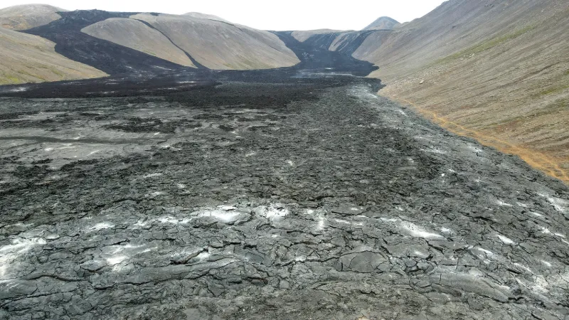
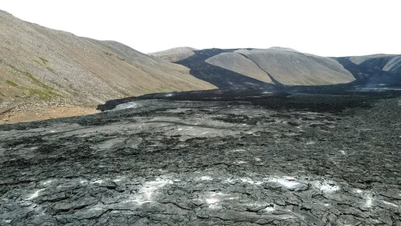
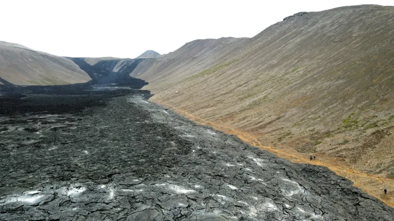
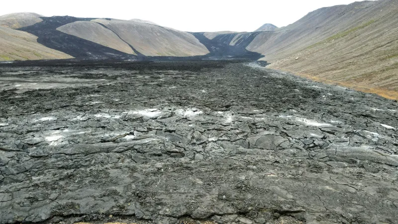
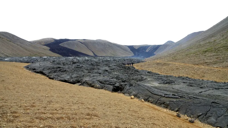
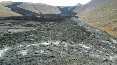
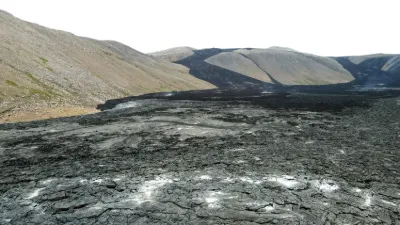
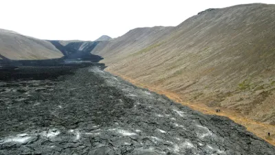
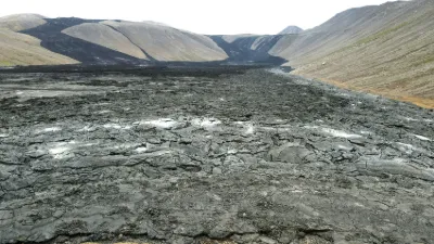
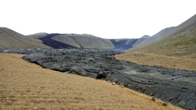
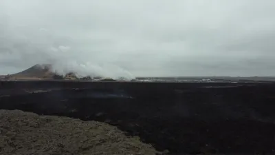
No volcanic eruption had occurred on the Reykjanes peninsula for 815 years until March 19, 2021, when a fissure vent opened, triggering an eruption that delighted a few drone pilots. The volcano has become an attraction for locals and foreign tourists. https://www.geo.fr/environnement/stop-ou-encore-leruption-en-islande-en-sommeil-depuis-deux-mois-207136 → You can climb up onto the ridges that border this majestic site and fly your drone, but the wind was over 80 km/h when I was there! Near GELDINGADALIR
Map and restricted areas
Open in the main mapAviation weather (METAR and TAF)
BIKF – Keflavik International Airport MVFR
METAR
METAR BIKF 211100Z 12026KT 9999 BKN020 OVC027 04/01 Q1007
- Wind
- 120°, 48 km/h
- Visibility
- 10 km or more
- Clouds
- Broken (5-7/8) at 2,000 ft (610 m) ; Overcast (8/8) at 2,700 ft (820 m)
- Temperature
- 4 °C, dew point 1 °C
- QNH
- 1007 hPa
- Flight category
- MVFR: ceiling 1,000–3,000 ft or visibility 3–5 mi
TAF
TAF BIKF 211055Z 2112/2212 11028G40KT 9999 -RA BKN018 OVC025 TX08/2208Z TN01/2117Z BECMG 2116/2118 7000 -RADZ BR BKN010 OVC016 TEMPO 2116/2120 1500 RASN OVC004 TEMPO 2120/2212 4000 RADZ OVC008 BECMG 2120/2122 14038G52KT
| Period (local time) | Change | Wind | Visibility | Weather | Clouds |
|---|---|---|---|---|---|
| 21/11 12:00 → 21/11 16:00 | Initial conditions | 110°, 52 km/h, gusts 74 km/h | 10 km or more | Rain light | Broken (5-7/8) at 1,800 ft (550 m) ; Overcast (8/8) at 2,500 ft (760 m) |
| 21/11 16:00 → 21/11 20:00 | Becoming | 110°, 52 km/h, gusts 74 km/h | 7 km | Rain light ; drizzle light ; mist | Broken (5-7/8) at 1,000 ft (300 m) ; Overcast (8/8) at 1,600 ft (490 m) |
| 21/11 16:00 → 21/11 20:00 | Temporarily | 1.5 km | Rain ; snow | Overcast (8/8) at 400 ft (120 m) | |
| 21/11 20:00 → 22/11 12:00 | Temporarily | 4.0 km | Rain ; drizzle | Overcast (8/8) at 800 ft (240 m) | |
| 21/11 20:00 → 22/11 12:00 | Becoming | 140°, 70 km/h, gusts 96 km/h | 7 km | Rain light ; drizzle light ; mist | Broken (5-7/8) at 1,000 ft (300 m) ; Overcast (8/8) at 1,600 ft (490 m) |
Weather and Kp index
Sunrise and sunset
| Day | Dawn | Sunrise | Golden hour | Sunset | Dusk | Day length |
|---|---|---|---|---|---|---|
| Sat 21 Nov | 09:12 | 10:14 | 10:14–12:49 · 13:41–16:16 | 16:16 | 17:18 | 6 h 01 |
| Sun 22 Nov | 09:15 | 10:18 | All day | 16:13 | 17:16 | 5 h 55 |
| Mon 23 Nov | 09:17 | 10:21 | All day | 16:11 | 17:14 | 5 h 50 |
| Tue 24 Nov | 09:19 | 10:24 | All day | 16:08 | 17:12 | 5 h 44 |
| Wed 25 Nov | 09:22 | 10:27 | All day | 16:06 | 17:11 | 5 h 39 |
| Thu 26 Nov | 09:24 | 10:29 | All day | 16:03 | 17:09 | 5 h 33 |
| Fri 27 Nov | 09:26 | 10:32 | All day | 16:01 | 17:07 | 5 h 28 |

Reviews
Log in to review this spot. Log in · Create a free account
No reviews yet. Share yours!