

Heritage
Les Baux de Provence
No reviews yet
Have you flown here? Share your experience with other pilots.
+ Write the first reviewDescription
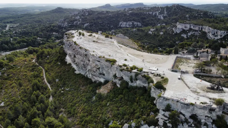
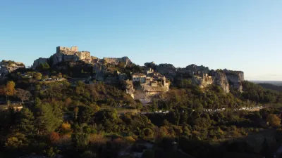
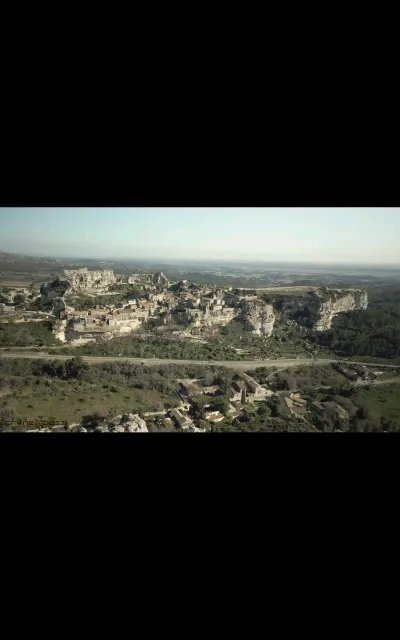
Nothing beats a visit to the Carrières de Lumières followed by a drone shot of the far end of the village of Les Baux de Provence
Map and restricted areas
Open in the main mapNearby aerodromes
Open aerodromes within 25 km of the spot, heliports included, with their distance and direction from the spot. Near an aerodrome, drone flying is prohibited or height-limited: check the UAS zones map.
| Aerodrome | Type | Distance | Elevation | Difference |
|---|---|---|---|---|
| Le Mazet De Romanin Airfield | Aerodrome | 8.3 km E | 118 m | spot 36 m higher |
| Aérodrome d'Eyguières | Aerodrome | 20 km SE | 75 m | spot 79 m higher |
| Centre Hospitalier Heliport | Heliport | 20 km N | 21 m | spot 133 m higher |
| Avignon-Caumont Airport | Airport | 20 km NE | 38 m | spot 116 m higher |
Aviation weather (METAR and TAF)
LFMV – Avignon-Caumont Airport VFR
METAR
METAR LFMV 211000Z AUTO VRB02KT CAVOK 11/08 Q1021 NOSIG
- Wind
- Variable, 4 km/h
- Visibility
- 10 km or more
- Clouds
- –
- Temperature
- 11 °C, dew point 8 °C
- QNH
- 1021 hPa
- Flight category
- VFR: ceiling > 3,000 ft and visibility > 5 mi
TAF
TAF LFMV 210800Z 2109/2209 VRB03KT CAVOK TEMPO 2119/2209 4000 SHRA BKN012 BKN025TCU BECMG 2121/2123 12010KT
| Period (local time) | Change | Wind | Visibility | Weather | Clouds |
|---|---|---|---|---|---|
| 21/11 10:00 → 21/11 22:00 | Initial conditions | Variable, 6 km/h | 10 km or more | No significant weather | No significant cloud |
| 21/11 20:00 → 22/11 10:00 | Temporarily | 4.0 km | Showers of rain | Broken (5-7/8) at 1,200 ft (370 m) ; Broken (5-7/8) at 2,500 ft (760 m) (towering cumulus) | |
| 21/11 22:00 → 22/11 10:00 | Becoming | 120°, 19 km/h | 10 km or more | No significant weather | No significant cloud |
Weather and Kp index
Sunrise and sunset
| Day | Dawn | Sunrise | Golden hour | Sunset | Dusk | Day length |
|---|---|---|---|---|---|---|
| Sat 21 Nov | 07:11 | 07:43 | 07:43–08:27 · 16:26–17:11 | 17:11 | 17:42 | 9 h 27 |
| Sun 22 Nov | 07:13 | 07:44 | 07:44–08:29 · 16:25–17:10 | 17:10 | 17:41 | 9 h 25 |
| Mon 23 Nov | 07:14 | 07:45 | 07:45–08:30 · 16:24–17:09 | 17:09 | 17:41 | 9 h 23 |
| Tue 24 Nov | 07:15 | 07:46 | 07:46–08:31 · 16:24–17:09 | 17:09 | 17:40 | 9 h 22 |
| Wed 25 Nov | 07:16 | 07:48 | 07:48–08:33 · 16:23–17:08 | 17:08 | 17:40 | 9 h 20 |
| Thu 26 Nov | 07:17 | 07:49 | 07:49–08:34 · 16:22–17:07 | 17:07 | 17:39 | 9 h 18 |
| Fri 27 Nov | 07:18 | 07:50 | 07:50–08:35 · 16:22–17:07 | 17:07 | 17:39 | 9 h 16 |



Reviews
Log in to review this spot. Log in · Create a free account
No reviews yet. Share yours!