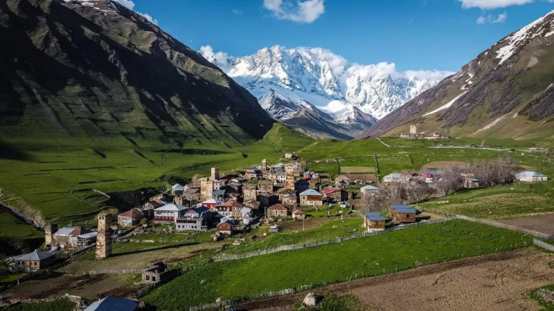
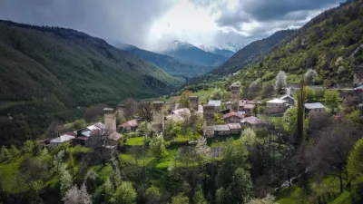
A UNESCO-listed site, this is an exceptional place with a unique panorama. At the foot of Mount Shkhara (5,193 m) and at over 2,000 m altitude, Ushguli is the most fascinating place in Svaneti. The village, made up of four hamlets with defensive towers, is the perfect example of an authentic, traditional Svan village. Near MESTIA
METAR UGMS 211730Z AUTO VRB02KT //// ////// 01/01 Q1013
Wind
Variable, 4 km/h
Visibility
–
Clouds
–
Temperature
1 °C, dew point 1 °C
QNH
1013 hPa
Flight category
Unknown category
TAF
This station does not issue a TAF (or none is currently valid).
METAR and TAF from NOAA (Aviation Weather Center), for guidance only: they do not replace flight planning with official sources (SIA, Météo-France). Nearest station that issues a METAR, not necessarily the nearest aerodrome.
Local times at the spot (UTC+04:00). The golden hour, the warm, low light sought after for photos and videos, runs from sunrise until the sun reaches 6° above the horizon, and in the evening from 6° until sunset.
Le Djangha , ou Djanghi-Taou, est un sommet situé dans la partie centrale de la chaîne du Grand Caucase. Il est situé à la frontière entre la Géorgie (région de Svanétie) et la Russie (République autonome de Kabardino-Balkarie). La montagne s'élève à d'altitude (...)
Le mont Chkhara , , est un sommet du Grand Caucase, sur la frontière entre la Géorgie et la Russie. C'est le point culminant de la Géorgie, et le troisième plus haut sommet du Caucase. Il est situé dans la région de la Svanétie, le long de la frontière russe, à au nord de la ville de Kutaisi, (...)
Le pic Chota Roustavéli est une montagne de la partie centrale de la chaîne du Grand Caucase, à la frontière entre la Mingrélie-Haute Svanétie (région de Géorgie) et de la Kabardino-Balkarie (république autonome de la Fédération de Russie). Le pic s'élève à une altitude de (...)
Le pic Tetnouldi (en géorgien თეთნულდი) est un mont proéminent de la partie centrale de la chaîne du Grand Caucase, situé dans la région géorgienne de Svanétie. Selon la plupart des sources, le Tetnouldi est le plus haut sommet de tout le Caucase (...)
Articles found by GeoNames from the spot's position.
Audience measurement
Drone-Spot, which shows no ads, would like to count its visits with Google Analytics (anonymous statistics) to improve the site. Do you agree?
Learn more


Reviews
Log in to review this spot. Log in · Create a free account
No reviews yet. Share yours!