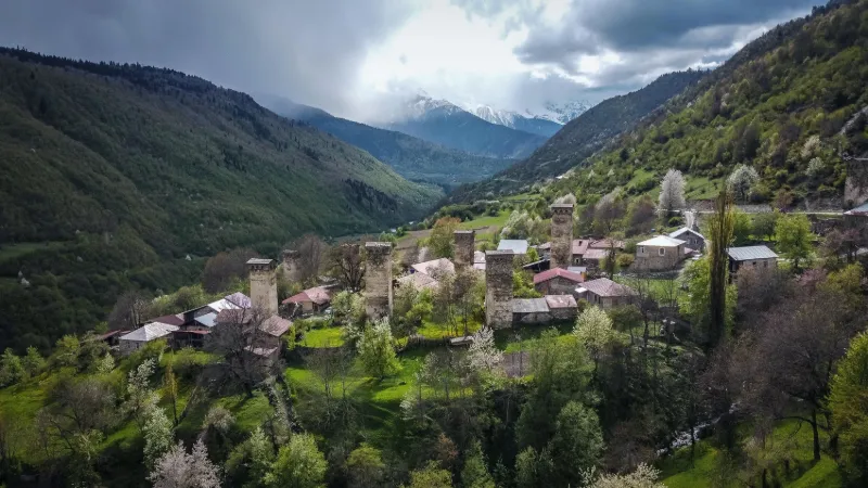
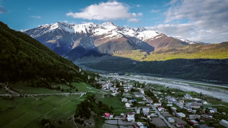
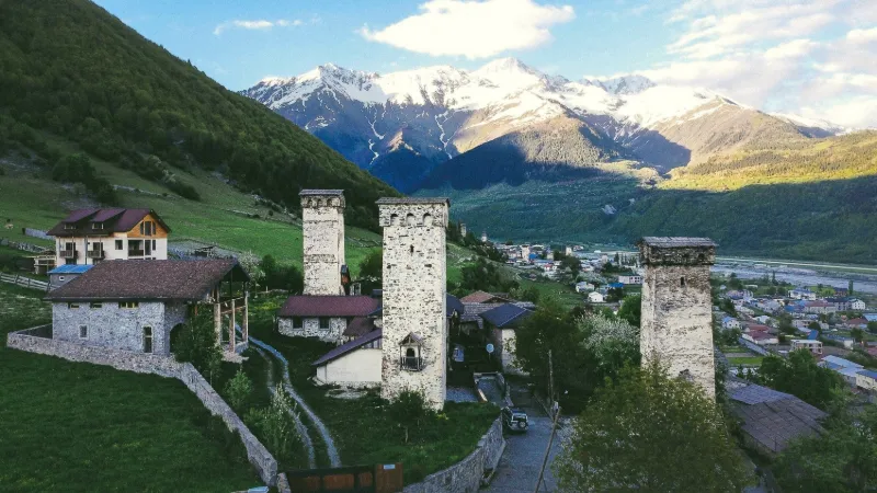
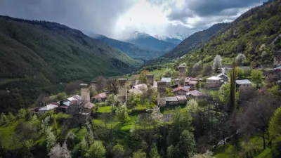
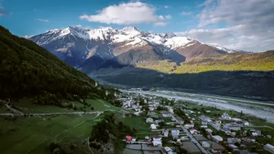
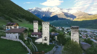
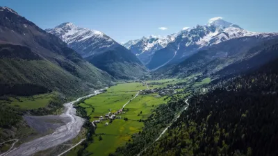
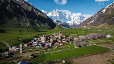
Located at the foot of the majestic snow-capped mountains of the Greater Caucasus, the town has a curiosity: many houses have a watchtower. Built between the 9th and 13th centuries, they were used to protect homes from enemy attacks. Several spots in the valley to take off with a drone. In the town of MESTIA
METAR UGMS 211730Z AUTO VRB02KT //// ////// 01/01 Q1013
Wind
Variable, 4 km/h
Visibility
–
Clouds
–
Temperature
1 °C, dew point 1 °C
QNH
1013 hPa
Flight category
Unknown category
TAF
This station does not issue a TAF (or none is currently valid).
METAR and TAF from NOAA (Aviation Weather Center), for guidance only: they do not replace flight planning with official sources (SIA, Météo-France). Nearest station that issues a METAR, not necessarily the nearest aerodrome.
Local times at the spot (UTC+04:00). The golden hour, the warm, low light sought after for photos and videos, runs from sunrise until the sun reaches 6° above the horizon, and in the evening from 6° until sunset.
L'aéroport de Mestia, aussi surnommé aéroport de Tamar le roi, est un petit aéroport qui dessert la petite ville de Mestia en Géorgie. Il se trouve à 3 km au nord-est de la ville. (...)
Le mont Ouchba (en) est un sommet du Caucase situé en Svanétie, province de Géorgie. Surnommé le « Cervin du Caucase », l'Ouchba est en fait une montagne jumelle dont le sommet sud est à peine plus haut que la cime nord . (...)
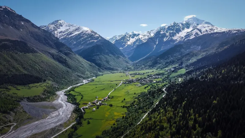
La Svanétie, Svaneti ou Suanie (en géorgien) est une province historique de la Géorgie, dans le nord-ouest du pays. Elle est habitée par les Svanes, un sous-groupe ethnique des Géorgiens. La province compte environ habitants (...)
Articles found by GeoNames from the spot's position.
Audience measurement
Drone-Spot, which shows no ads, would like to count its visits with Google Analytics (anonymous statistics) to improve the site. Do you agree?
Learn more


Reviews
Log in to review this spot. Log in · Create a free account
No reviews yet. Share yours!