The Cathedral of the Transfiguration of the Savior in Uglich (18th century), with its green domes, is open for worship only during religious festivals. Most of the time it is something of a museum, appreciated for its many icons. Near TSALENJIKHA
Local times at the spot (UTC+04:00). The golden hour, the warm, low light sought after for photos and videos, runs from sunrise until the sun reaches 6° above the horizon, and in the evening from 6° until sunset.
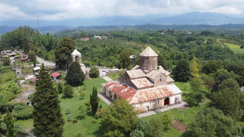
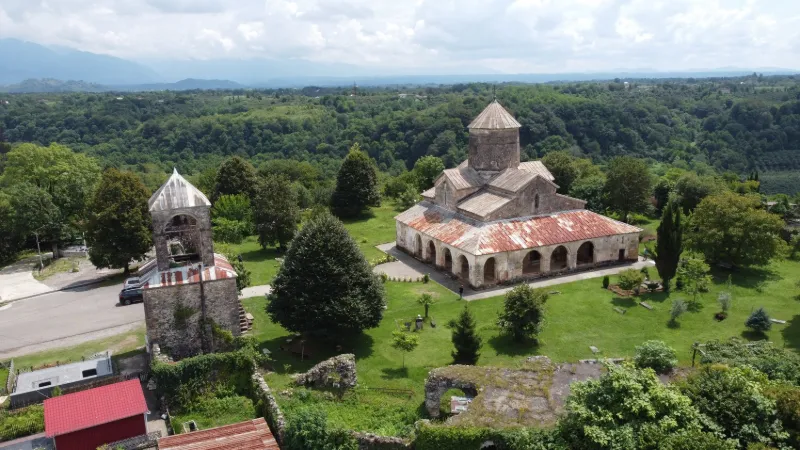
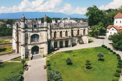
Tsalendjikha (en) est une ville de la région de Mingrélie-et-Haute-Svanétie, à l'ouest de la Géorgie. Historiquement, Tsalendjikha a été l'une des résidences des souverains Dadiani et le siège d'une évêché, avec une cathédrale médiévale dédiée à la (...)
Tchkhorotskou (en , parfois transcrit Chkhorotsqu, qui signifie littéralement en mingrélien: “neuf sources”) est un village de Géorgie occidentale, dans la région (mkhare) de Mingrélie-Haute Svanétie, qui est aussi le centre administratif du district homonyme (...)
Dans l'ancienne géographie, la Colchide, Colchis ou Kolchis (en géorgien et laze : კოლხეთი, k'olkhéti ; en grec Κολχίς, Kolchis, sans doute lié au khalkos désignant le cuivre) est un ancien État, royaume puis région géorgienne, qui a joué un rôle important dans la formation de la culture ethnique du (...)
Audience measurement
Drone-Spot, which shows no ads, would like to count its visits with Google Analytics (anonymous statistics) to improve the site. Do you agree?
Learn more


Reviews
Log in to review this spot. Log in · Create a free account
No reviews yet. Share yours!