

The Hautes-Fagnes - Mont Rigi
1 pilot review
“Zone Militaire. Autorisation à demander 8 jours ouvrables à l'avance...” — Myco, 2 years ago
Read the reviews + Write my reviewDescription
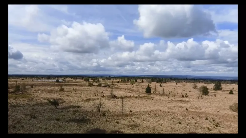
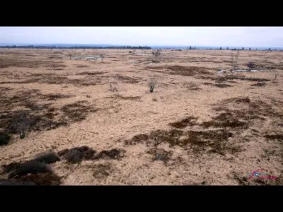
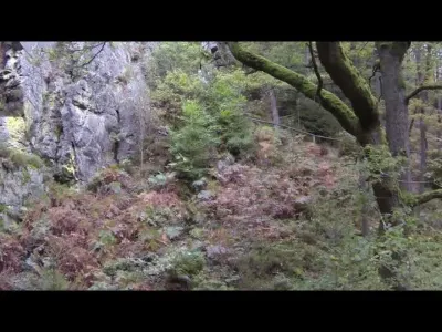
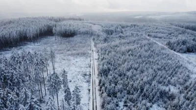
This is a protected natural site where you need to be particularly careful not to disturb the tranquility of the wild animals. Vast expanses (4,500 ha in Belgium) of peat bogs, heathland and forests with a fairly exceptional flora and fauna linked to the cold, damp climate. The foothills to the north of the plateau are mainly vast conifer plantations: this is the Hertogenwald forest. The peat bogs formed 7,500 years ago, at the end of the last ice age. Peat results from the decomposition of plants, especially sphagnum mosses, in very wet conditions. Its thickness can reach seven meters. Until the middle of the 20th century, peat was a valuable source of heating for the inhabitants of nearby villages. The surface of active peat bogs now amounts to only about a hundred hectares. The Hautes Fagnes plateau is the largest peat bog massif in Belgium. The other major massifs are, from east to west, as the altitude gradually decreases, the Tailles plateau, the Saint-Hubert plateau and the Croix-Scaille. (Source: Wikipedia)
Map and restricted areas
Open in the main mapAviation weather (METAR and TAF)
EBLG – Liège Airport VFR
METAR
METAR EBLG 210720Z 16007KT 9999 FEW043 01/00 Q1019 NOSIG
- Wind
- 160°, 13 km/h
- Visibility
- 10 km or more
- Clouds
- Few (1-2/8) at 4,300 ft (1310 m)
- Temperature
- 1 °C, dew point 0 °C
- QNH
- 1019 hPa
- Flight category
- VFR: ceiling > 3,000 ft and visibility > 5 mi
TAF
TAF EBLG 210500Z 2106/2212 20005KT 9999 FEW040 PROB30 2106/2108 2000 BR BKN003 PROB30 2204/2207 4000 BR
| Period (local time) | Change | Wind | Visibility | Weather | Clouds |
|---|---|---|---|---|---|
| 21/11 07:00 → 22/11 13:00 | Initial conditions | 200°, 9 km/h | 10 km or more | Few (1-2/8) at 4,000 ft (1220 m) | |
| 21/11 07:00 → 21/11 09:00 | probability 30% | 2.0 km | Mist | Broken (5-7/8) at 300 ft (90 m) | |
| 22/11 05:00 → 22/11 08:00 | probability 30% | 4.0 km | Mist |
Weather and Kp index
Sunrise and sunset
| Day | Dawn | Sunrise | Golden hour | Sunset | Dusk | Day length |
|---|---|---|---|---|---|---|
| Sat 21 Nov | 07:23 | 08:00 | 08:00–08:54 · 15:49–16:43 | 16:43 | 17:20 | 8 h 43 |
| Sun 22 Nov | 07:25 | 08:01 | 08:01–08:55 · 15:48–16:42 | 16:42 | 17:19 | 8 h 40 |
| Mon 23 Nov | 07:26 | 08:03 | 08:03–08:57 · 15:47–16:41 | 16:41 | 17:18 | 8 h 38 |
| Tue 24 Nov | 07:28 | 08:04 | 08:04–08:59 · 15:46–16:40 | 16:40 | 17:17 | 8 h 35 |
| Wed 25 Nov | 07:29 | 08:06 | 08:06–09:01 · 15:44–16:39 | 16:39 | 17:16 | 8 h 33 |
| Thu 26 Nov | 07:30 | 08:07 | 08:07–09:03 · 15:43–16:38 | 16:38 | 17:16 | 8 h 30 |
| Fri 27 Nov | 07:32 | 08:09 | 08:09–09:04 · 15:42–16:38 | 16:38 | 17:15 | 8 h 28 |
Reviews
Log in to review this spot. Log in · Create a free account
Myco
Zone Militaire. Autorisation à demander 8 jours ouvrables à l'avance...